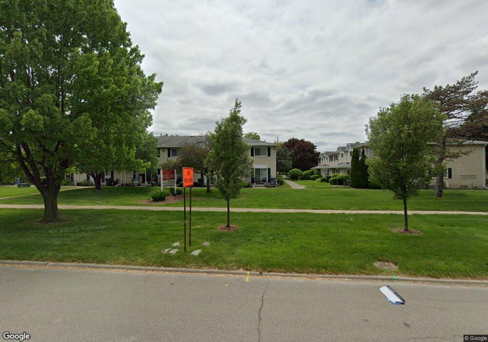
41727 Utica Rd Unit Bldg-Unit Sterling Heights, MI 48313
Estimated Value: $182,000 - $195,000
5
Beds
2
Baths
1,321
Sq Ft
$141/Sq Ft
Est. Value
About This Home
This home is located at 41727 Utica Rd Unit Bldg-Unit, Sterling Heights, MI 48313 and is currently estimated at $186,152, approximately $140 per square foot. 41727 Utica Rd Unit Bldg-Unit is a home located in Macomb County with nearby schools including Schwarzkoff Elementary School, Davis Junior High School, and Adlai Stevenson High School.
Ownership History
Date
Name
Owned For
Owner Type
Purchase Details
Closed on
Jul 6, 2018
Sold by
Deluca Tiffany A
Bought by
Shuke Enton and Shuke Jola
Current Estimated Value
Home Financials for this Owner
Home Financials are based on the most recent Mortgage that was taken out on this home.
Original Mortgage
$108,640
Outstanding Balance
$94,153
Interest Rate
4.5%
Mortgage Type
New Conventional
Estimated Equity
$91,999
Purchase Details
Closed on
Apr 29, 2016
Sold by
Property 56 Llc
Bought by
Deluca Tiffany A
Home Financials for this Owner
Home Financials are based on the most recent Mortgage that was taken out on this home.
Original Mortgage
$90,000
Interest Rate
3.71%
Mortgage Type
New Conventional
Purchase Details
Closed on
Jan 28, 2016
Sold by
Desjardin Robert and Desjardin Antonette
Bought by
Sztaba D R
Create a Home Valuation Report for This Property
The Home Valuation Report is an in-depth analysis detailing your home's value as well as a comparison with similar homes in the area
Home Values in the Area
Average Home Value in this Area
Purchase History
| Date | Buyer | Sale Price | Title Company |
|---|---|---|---|
| Shuke Enton | $112,000 | None Available | |
| Deluca Tiffany A | $102,900 | None Available | |
| Property 56 Llc | -- | None Available | |
| Sztaba D R | $50,000 | Attorney |
Source: Public Records
Mortgage History
| Date | Status | Borrower | Loan Amount |
|---|---|---|---|
| Open | Shuke Enton | $108,640 | |
| Previous Owner | Property 56 Llc | $90,000 |
Source: Public Records
Tax History Compared to Growth
Tax History
| Year | Tax Paid | Tax Assessment Tax Assessment Total Assessment is a certain percentage of the fair market value that is determined by local assessors to be the total taxable value of land and additions on the property. | Land | Improvement |
|---|---|---|---|---|
| 2025 | $2,279 | $74,000 | $0 | $0 |
| 2024 | $2,084 | $68,200 | $0 | $0 |
| 2023 | $1,967 | $64,900 | $0 | $0 |
| 2022 | $2,051 | $61,000 | $0 | $0 |
| 2021 | $2,009 | $57,000 | $0 | $0 |
| 2020 | $1,792 | $55,100 | $0 | $0 |
| 2019 | $1,835 | $50,400 | $0 | $0 |
| 2018 | $1,789 | $49,000 | $0 | $0 |
| 2017 | $1,802 | $51,000 | $5,000 | $46,000 |
| 2016 | $969 | $51,000 | $0 | $0 |
| 2015 | -- | $38,200 | $0 | $0 |
| 2014 | -- | $26,100 | $0 | $0 |
Source: Public Records
Map
Nearby Homes
- 41515 Hamilton Dr
- 41371 Hamilton Dr
- 42049 Farm Lane Ct
- 11716 Clinton River Rd
- 8125 Ogden Dr
- 42790 Utica Rd
- 11401 19 Mile Rd
- 40251 Diane Dr
- 40309 Lexington Park Dr
- 11898 Lewlund Dr
- 8644 Independence Dr
- 41744 Mae Wood Dr
- 8273 Independence Dr
- 8641 Alwardt Dr
- 42153 Mac Rae Dr
- 41309 Memphis Dr
- 42222 Mac Rae Dr
- 8341 Clay Ct
- 11423 Delvin Dr
- 39856 Parklawn Dr
- 41717 Utica Rd
- 41715 Utica Rd
- 41713 Utica Rd Unit 46
- 41711 Utica Rd
- 8660 Winchester Dr
- 8662 Winchester Dr Unit 43
- 8664 Winchester Dr
- 8666 Winchester Dr
- 41727 Utica Rd
- 41725 Utica Rd
- 41723 Utica Rd Unit E38
- 41721 Utica Rd
- 8670 Winchester Dr
- 8672 Winchester Dr
- 8674 Winchester Dr
- 8676 Winchester Dr
- 8666 Winchester Dr Unit 41
- 41725 Utica Rd Unit 39
- 8670 Winchester Dr Unit 36
- 8666 Winchester Dr