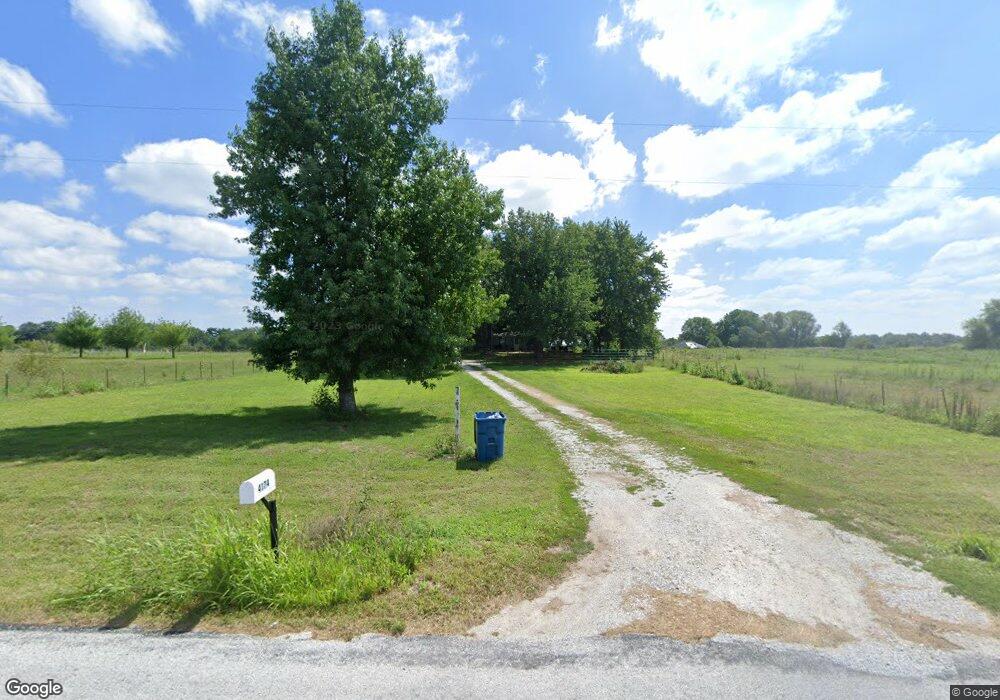
4174 State Highway Pp Republic, MO 65738
Estimated Value: $253,000 - $1,824,000
3
Beds
1
Bath
1,400
Sq Ft
$742/Sq Ft
Est. Value
About This Home
This home is located at 4174 State Highway Pp, Republic, MO 65738 and is currently estimated at $1,038,500, approximately $741 per square foot. 4174 State Highway Pp is a home located in Greene County with nearby schools including Schofield Elementary School, Republic Middle School, and Republic High School.
Ownership History
Date
Name
Owned For
Owner Type
Purchase Details
Closed on
Nov 22, 2023
Sold by
Lewis Matthew A and Lewis Emily L
Bought by
M & E Property Holdings Llc
Current Estimated Value
Purchase Details
Closed on
Jan 23, 2023
Sold by
Dukes Steve and Dukes Joannie
Bought by
Ml Broker Inc
Home Financials for this Owner
Home Financials are based on the most recent Mortgage that was taken out on this home.
Original Mortgage
$95,000
Interest Rate
6.33%
Mortgage Type
New Conventional
Create a Home Valuation Report for This Property
The Home Valuation Report is an in-depth analysis detailing your home's value as well as a comparison with similar homes in the area
Home Values in the Area
Average Home Value in this Area
Purchase History
| Date | Buyer | Sale Price | Title Company |
|---|---|---|---|
| M & E Property Holdings Llc | -- | None Listed On Document | |
| Lewis Matthew A | -- | None Listed On Document | |
| Lewis Matthew A | -- | None Listed On Document | |
| Ml Broker Inc | -- | -- |
Source: Public Records
Mortgage History
| Date | Status | Borrower | Loan Amount |
|---|---|---|---|
| Previous Owner | Ml Broker Inc | $95,000 |
Source: Public Records
Tax History
| Year | Tax Paid | Tax Assessment Tax Assessment Total Assessment is a certain percentage of the fair market value that is determined by local assessors to be the total taxable value of land and additions on the property. | Land | Improvement |
|---|---|---|---|---|
| 2025 | $794 | $15,940 | $7,790 | $8,150 |
| 2024 | $736 | $14,080 | $6,840 | $7,240 |
| 2023 | $721 | $14,080 | $6,840 | $7,240 |
| 2022 | $725 | $14,100 | $6,840 | $7,260 |
| 2021 | $725 | $14,100 | $6,840 | $7,260 |
| 2020 | $737 | $14,100 | $6,840 | $7,260 |
| 2019 | $734 | $14,100 | $6,840 | $7,260 |
| 2018 | $741 | $13,780 | $6,840 | $6,940 |
| 2017 | $735 | $12,960 | $6,840 | $6,120 |
| 2016 | $697 | $12,960 | $6,840 | $6,120 |
| 2015 | $697 | $12,960 | $6,840 | $6,120 |
| 2014 | $708 | $13,030 | $6,840 | $6,190 |
Source: Public Records
Map
Nearby Homes
- 12163 W State Highway Tt
- 12451 W State Highway 174
- 3065 S Somer Ln
- 14057 W Farm Road 174
- 2909 S Somer Ln
- 11414 Benjamin
- 6140 W Farm Road 156
- 5321 S Farm Road 57
- Lot 23 The Woods
- 000 S Farm Rd 35 Tract 1
- 000 Track1 W Farm Road 174
- 000 Tract8 W Farm Road 174
- 000 S Farm Rd 35 Tract 3
- 13650 W Farm Road 148
- Tract 4 State Highway 174
- 000 Tract2 W Farm Road 174
- 10431 W Farm Road 174
- 2462 E Beagle
- 000 Tract3 W Farm Road 174
- 000 Tract4 W Farm Road 174
- 4226 State Highway Pp
- 4120 State Highway Pp
- 4205 S State Highway Pp
- 4226 S State Highway Pp
- 12896 W Farm Road 168
- 4424 S State Highway Pp
- Tbd Farm Road 168
- 12680 W Farm Road 168
- 3996 S State Highway Pp
- 12825 W Farm Road 168
- 12610 W Farm Road 168
- 3988 S State Highway Pp
- 12953 W Foxwood
- 12702 W Farm Road 168
- 0 Tract 2 State Hwy Pp Unit 11108005
- 12504 W Farm Road 168
- 12952 Foxwood
- 3858 S State Hwy Pp
- 3858 S State Highway Pp
- 0 Tract 3 State Hwy Pp Unit 11108008
Your Personal Tour Guide
Ask me questions while you tour the home.