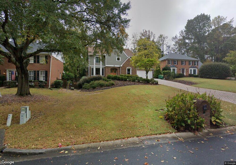
4174 Station Mill Ct Unit 2 Norcross, GA 30092
Estimated Value: $617,000 - $686,000
4
Beds
3
Baths
2,617
Sq Ft
$255/Sq Ft
Est. Value
About This Home
This home is located at 4174 Station Mill Ct Unit 2, Norcross, GA 30092 and is currently estimated at $667,193, approximately $254 per square foot. 4174 Station Mill Ct Unit 2 is a home located in Gwinnett County with nearby schools including Simpson Elementary School, Pinckneyville Middle School, and Norcross High School.
Ownership History
Date
Name
Owned For
Owner Type
Purchase Details
Closed on
Jun 28, 2006
Sold by
Johnston Michael W and Johnston Barbara E
Bought by
Tiffany James
Current Estimated Value
Home Financials for this Owner
Home Financials are based on the most recent Mortgage that was taken out on this home.
Original Mortgage
$287,200
Outstanding Balance
$167,757
Interest Rate
6.55%
Mortgage Type
New Conventional
Estimated Equity
$499,436
Create a Home Valuation Report for This Property
The Home Valuation Report is an in-depth analysis detailing your home's value as well as a comparison with similar homes in the area
Home Values in the Area
Average Home Value in this Area
Purchase History
| Date | Buyer | Sale Price | Title Company |
|---|---|---|---|
| Tiffany James | $359,000 | -- |
Source: Public Records
Mortgage History
| Date | Status | Borrower | Loan Amount |
|---|---|---|---|
| Open | Tiffany James | $287,200 |
Source: Public Records
Tax History Compared to Growth
Tax History
| Year | Tax Paid | Tax Assessment Tax Assessment Total Assessment is a certain percentage of the fair market value that is determined by local assessors to be the total taxable value of land and additions on the property. | Land | Improvement |
|---|---|---|---|---|
| 2025 | $6,880 | $269,720 | $50,160 | $219,560 |
| 2024 | $6,114 | $223,960 | $38,800 | $185,160 |
| 2023 | $6,114 | $223,960 | $38,800 | $185,160 |
| 2022 | $5,788 | $207,680 | $38,800 | $168,880 |
| 2021 | $5,269 | $176,960 | $32,400 | $144,560 |
| 2020 | $5,108 | $167,680 | $29,280 | $138,400 |
| 2019 | $4,696 | $154,560 | $26,000 | $128,560 |
| 2018 | $4,427 | $141,400 | $24,000 | $117,400 |
| 2016 | $4,091 | $127,680 | $18,000 | $109,680 |
| 2015 | $4,132 | $127,680 | $18,000 | $109,680 |
| 2014 | $3,738 | $115,040 | $18,000 | $97,040 |
Source: Public Records
Map
Nearby Homes
- 4291 River Bottom Dr
- 6425 Deerings Ln Unit 6425
- 6433 Deerings Ln
- 6169 Poplar Bluff Cir
- 6501 Deerings Ln Unit 6501
- 6550 Deerings Ln
- 6538 Deerings Ln
- 6530 Deerings Ln
- 4405 River Trail Dr
- 6509 Deerings Ln
- 4410 River Trail Dr Unit 383
- 3710 Wedgewood Chase Unit 22
- 5970 Rachel Ridge Unit 2
- 3910 Spalding Bluff Dr
- 6040 Neely Farm Dr Unit 3
- 3922 Glen Meadow Dr
- 4053 Spalding Hollow NW
- 5961 Ranger Ct
- 4178 Station Mill Ct
- 4164 Station Mill Ct Unit 2
- 4184 Station Mill Ct
- 6244 Broomsedge Trail
- 4154 Station Mill Ct
- 4194 Station Mill Ct
- 0 Station Mill Ct Unit 7082173
- 0 Station Mill Ct Unit 8184227
- 0 Talbot Way
- 4165 Station Mill Ct
- 6255 Broomsedge Trail
- 6254 Broomsedge Trail
- 4195 Station Mill Ct Unit 2
- 4175 Station Mill Ct
- 4139 Talbot Way
- 6280 Neely Meadows Dr
- 4145 Station Mill Ct
- 4134 Station Mill Ct
- 6264 Broomsedg Trail NW