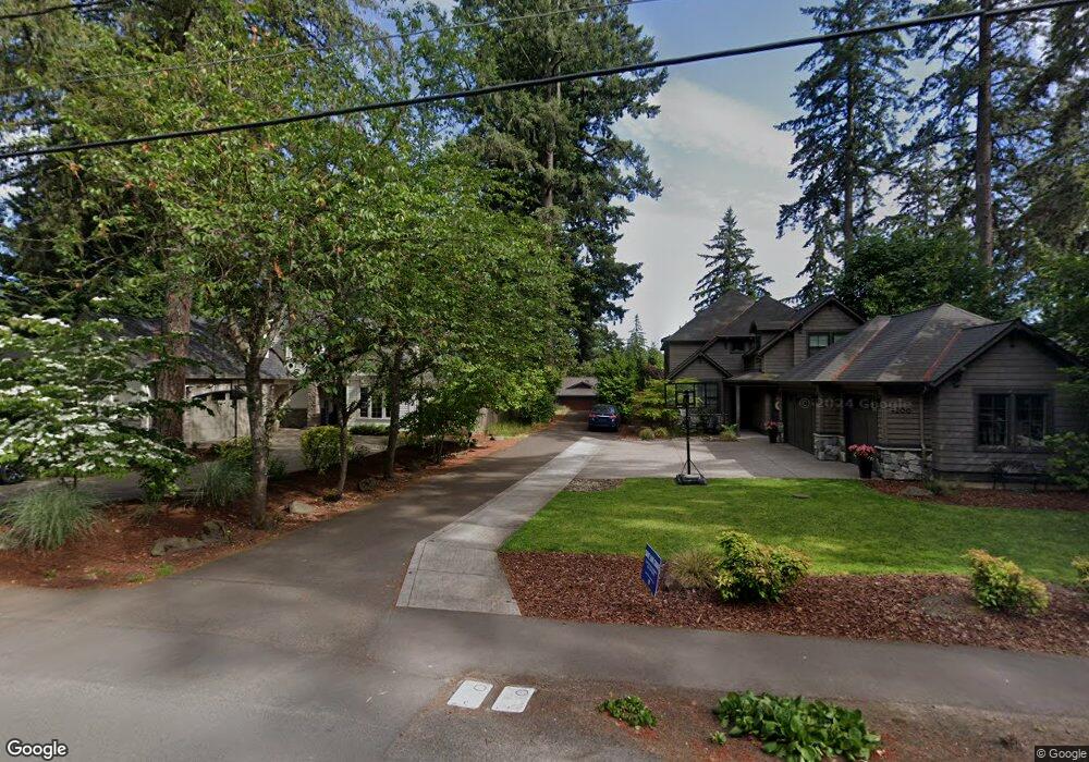
4176 Upper Dr Lake Oswego, OR 97035
Lake Grove NeighborhoodEstimated Value: $1,124,000 - $1,413,000
4
Beds
3
Baths
2,938
Sq Ft
$437/Sq Ft
Est. Value
About This Home
This home is located at 4176 Upper Dr, Lake Oswego, OR 97035 and is currently estimated at $1,284,227, approximately $437 per square foot. 4176 Upper Dr is a home located in Clackamas County with nearby schools including Lake Grove Elementary School, Lake Oswego Junior High School, and Lake Oswego Senior High School.
Ownership History
Date
Name
Owned For
Owner Type
Purchase Details
Closed on
Oct 28, 2016
Sold by
Blue Palouse Properties Llc
Bought by
Moore Michelle and Moore Hunter
Current Estimated Value
Home Financials for this Owner
Home Financials are based on the most recent Mortgage that was taken out on this home.
Original Mortgage
$417,000
Outstanding Balance
$333,618
Interest Rate
3.48%
Mortgage Type
New Conventional
Estimated Equity
$950,609
Purchase Details
Closed on
May 3, 2016
Sold by
Baird Scott P and Baird Linda
Bought by
Blue Palouse Properties Llc
Home Financials for this Owner
Home Financials are based on the most recent Mortgage that was taken out on this home.
Original Mortgage
$415,000
Interest Rate
3.71%
Mortgage Type
Commercial
Create a Home Valuation Report for This Property
The Home Valuation Report is an in-depth analysis detailing your home's value as well as a comparison with similar homes in the area
Home Values in the Area
Average Home Value in this Area
Purchase History
| Date | Buyer | Sale Price | Title Company |
|---|---|---|---|
| Moore Michelle | $839,000 | Stewart Title | |
| Blue Palouse Properties Llc | $550,000 | Ticor Title |
Source: Public Records
Mortgage History
| Date | Status | Borrower | Loan Amount |
|---|---|---|---|
| Open | Moore Michelle | $417,000 | |
| Previous Owner | Blue Palouse Properties Llc | $415,000 |
Source: Public Records
Tax History Compared to Growth
Tax History
| Year | Tax Paid | Tax Assessment Tax Assessment Total Assessment is a certain percentage of the fair market value that is determined by local assessors to be the total taxable value of land and additions on the property. | Land | Improvement |
|---|---|---|---|---|
| 2025 | $11,049 | $575,346 | -- | -- |
| 2024 | $10,754 | $558,589 | -- | -- |
| 2023 | $10,754 | $542,320 | $0 | $0 |
| 2022 | $10,129 | $526,525 | $0 | $0 |
| 2021 | $9,355 | $511,190 | $0 | $0 |
| 2020 | $9,120 | $496,301 | $0 | $0 |
| 2019 | $8,896 | $481,846 | $0 | $0 |
| 2018 | $8,460 | $467,812 | $0 | $0 |
| 2017 | $8,163 | $454,186 | $0 | $0 |
| 2016 | $6,047 | $358,831 | $0 | $0 |
| 2015 | $5,842 | $348,380 | $0 | $0 |
| 2014 | $5,656 | $338,233 | $0 | $0 |
Source: Public Records
Map
Nearby Homes
- 16755 Graef Cir
- 4480 Upper Dr
- 4368 Lakeview Blvd
- 3730 Upper Dr
- 3600 Lakeview Blvd
- 4470 Lakeview Blvd
- 3884 Lake Grove Ave
- 4284 Oakridge Rd
- 3850 Lake Grove Ave
- 3548 Lakeview Blvd
- 4160 Westbay Rd
- 4225 Oakridge Rd
- 4610 Lower Dr
- 4264 Westbay Rd
- 4520 Trillium Woods
- 16636 Maple Cir
- 4521 Trillium Woods
- 17367 Canal Cir
- 3525 Lake Grove Ave
- 3537 Lake Grove Ave