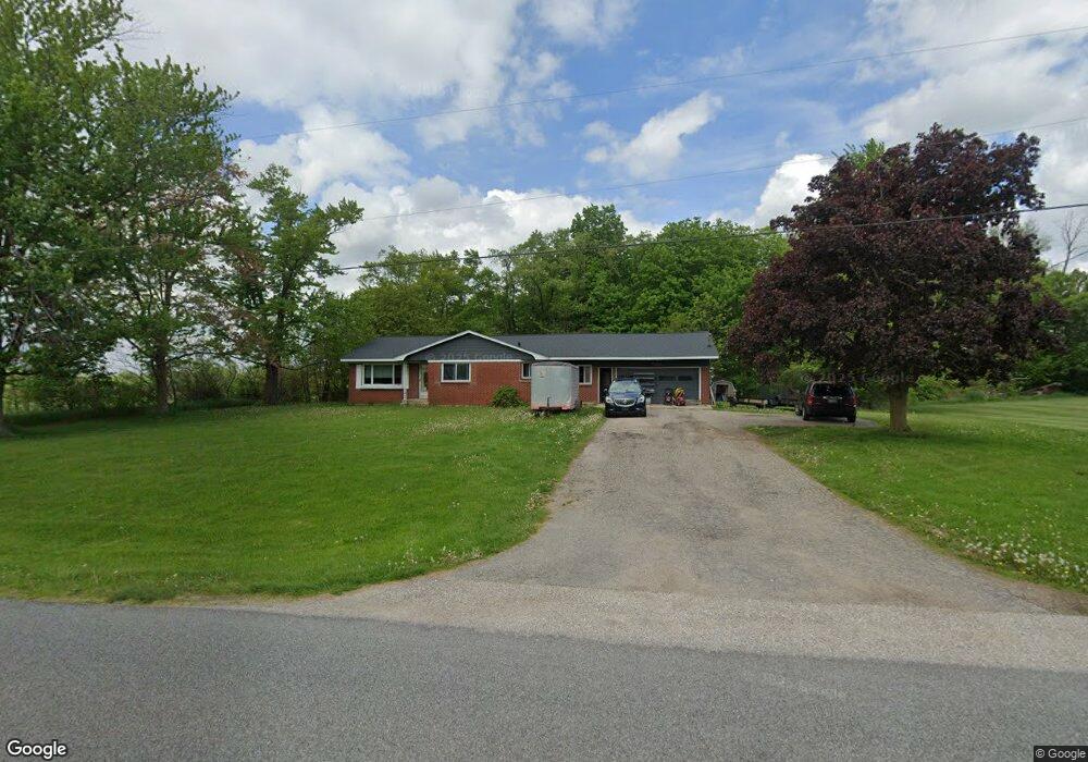
4177 82nd St SW Byron Center, MI 49315
Estimated Value: $387,000 - $506,000
3
Beds
2
Baths
1,722
Sq Ft
$252/Sq Ft
Est. Value
About This Home
This home is located at 4177 82nd St SW, Byron Center, MI 49315 and is currently estimated at $433,703, approximately $251 per square foot. 4177 82nd St SW is a home located in Kent County with nearby schools including Brown Elementary School, Robert L. Nickels Intermediate School, and Byron Center West Middle School.
Ownership History
Date
Name
Owned For
Owner Type
Purchase Details
Closed on
Apr 20, 2006
Sold by
Black Michael A
Bought by
Timmer Donald J and Timmer Dawn
Current Estimated Value
Home Financials for this Owner
Home Financials are based on the most recent Mortgage that was taken out on this home.
Original Mortgage
$104,400
Outstanding Balance
$71,909
Interest Rate
10.1%
Mortgage Type
Fannie Mae Freddie Mac
Estimated Equity
$361,794
Purchase Details
Closed on
Aug 29, 2003
Sold by
Jean Barbara A and Black Barbara A
Bought by
Black Michael A
Create a Home Valuation Report for This Property
The Home Valuation Report is an in-depth analysis detailing your home's value as well as a comparison with similar homes in the area
Home Values in the Area
Average Home Value in this Area
Purchase History
| Date | Buyer | Sale Price | Title Company |
|---|---|---|---|
| Timmer Donald J | $174,000 | Chicago Title | |
| Black Michael A | -- | -- |
Source: Public Records
Mortgage History
| Date | Status | Borrower | Loan Amount |
|---|---|---|---|
| Open | Timmer Donald J | $104,400 |
Source: Public Records
Tax History Compared to Growth
Tax History
| Year | Tax Paid | Tax Assessment Tax Assessment Total Assessment is a certain percentage of the fair market value that is determined by local assessors to be the total taxable value of land and additions on the property. | Land | Improvement |
|---|---|---|---|---|
| 2025 | $1,968 | $183,700 | $0 | $0 |
| 2024 | $1,968 | $139,200 | $0 | $0 |
| 2023 | $1,882 | $116,300 | $0 | $0 |
| 2022 | $2,585 | $109,300 | $0 | $0 |
| 2021 | $2,516 | $107,600 | $0 | $0 |
| 2020 | $1,732 | $111,500 | $0 | $0 |
| 2019 | $2,456 | $106,500 | $0 | $0 |
| 2018 | $2,405 | $101,200 | $19,000 | $82,200 |
| 2017 | $2,340 | $90,900 | $0 | $0 |
| 2016 | $2,255 | $85,700 | $0 | $0 |
| 2015 | $2,216 | $85,700 | $0 | $0 |
| 2013 | -- | $72,300 | $0 | $0 |
Source: Public Records
Map
Nearby Homes
- 8441 Homerich Ave SW
- 3947 76th St SW
- 8047 Erie Dr
- Redwood Plan at Railside - Woodland Series
- Sycamore Plan at Railside - Woodland Series
- Bay Harbor Plan at Railside - Landmark Series
- Northport Plan at Railside - Landmark Series
- Pentwater Plan at Railside - Landmark Series
- Oakwood Plan at Railside - Woodland Series
- 8115 Byron Depot Dr SW
- 4483 76th St SW
- 3563 Conrail Dr
- 7998 Byron Depot Dr SW
- 3183 Railway Dr SW
- 3152 84th St SW
- 8030 Lionel Dr
- 8549 Eldora Dr SW
- 3410 92nd St SW
- 3370 92nd St SW
- 8330 Rockledge Way SW Unit 92
- 4151 82nd St SW
- 4168 82nd St SW
- 4152 82nd St SW
- 4210 82nd St SW
- 4251 82nd St SW
- 4251 82nd St SW Unit L
- 4107 82nd St SW
- 4111 82nd St SW
- 4094 82nd St SW
- 4260 82nd St SW
- 4071 82nd St SW
- 4068 82nd St SW
- 4300 82nd St SW
- 4326 82nd St SW
- 4022 82nd St SW
- 4329 82nd St SW
- 4019 82nd St SW
- 4012 82nd St SW
- 8211 Wilson Ave SW
- 4375 82nd St SW