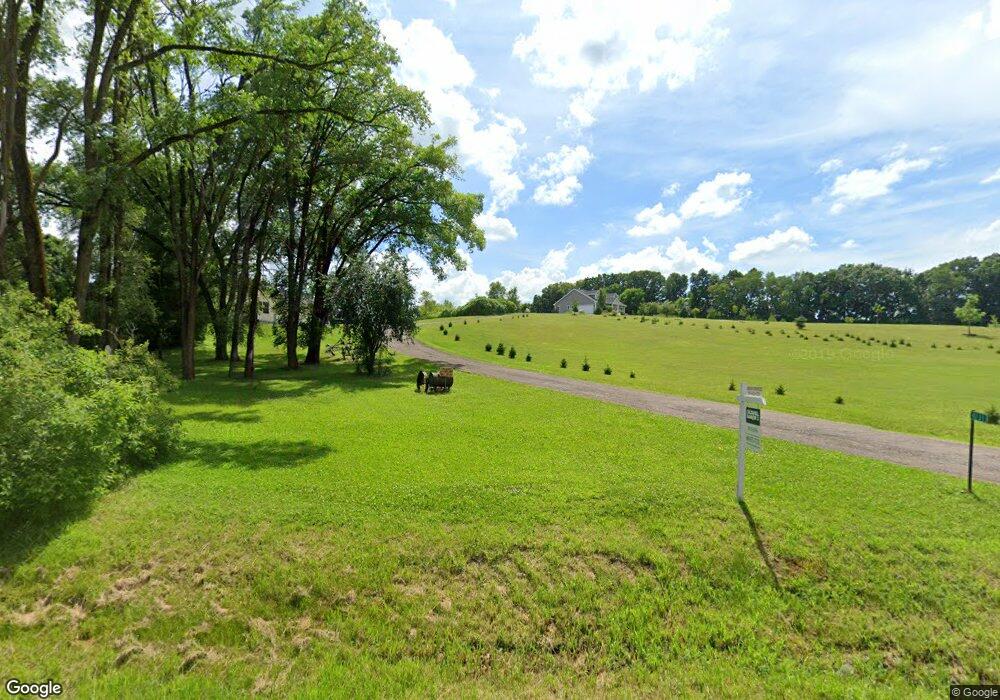
4177 County Road A Oregon, WI 53575
Estimated Value: $408,631 - $508,000
Studio
--
Bath
--
Sq Ft
2.89
Acres
About This Home
This home is located at 4177 County Road A, Oregon, WI 53575 and is currently estimated at $442,877. 4177 County Road A is a home located in Dane County with nearby schools including Oregon Middle School, Rome Corners Intermediate School, and Oregon High School.
Ownership History
Date
Name
Owned For
Owner Type
Purchase Details
Closed on
May 28, 2010
Sold by
Gustrowsky Floyd H and Gustrowsky Ione P
Bought by
Gustrowsky Floyd H and Gustrowsky Ione P
Current Estimated Value
Purchase Details
Closed on
Apr 20, 2007
Sold by
Gustrowsky Floyd H and Gustrowsky Ione P
Bought by
Gustrowsky Floyd H and Gustrowsky Ione R
Purchase Details
Closed on
Apr 11, 2007
Sold by
Black Linda G
Bought by
Gustrowsky Floyd H and Gustrowsky Ione P
Create a Home Valuation Report for This Property
The Home Valuation Report is an in-depth analysis detailing your home's value as well as a comparison with similar homes in the area
Purchase History
| Date | Buyer | Sale Price | Title Company |
|---|---|---|---|
| Gustrowsky Floyd H | -- | None Available | |
| Gustrowsky Floyd H | -- | None Available | |
| Gustrowsky Floyd H | -- | None Available |
Source: Public Records
Tax History
| Year | Tax Paid | Tax Assessment Tax Assessment Total Assessment is a certain percentage of the fair market value that is determined by local assessors to be the total taxable value of land and additions on the property. | Land | Improvement |
|---|---|---|---|---|
| 2023 | $4,428 | $272,600 | $160,400 | $112,200 |
| 2022 | $4,263 | $272,600 | $160,400 | $112,200 |
| 2021 | $3,677 | $272,600 | $160,400 | $112,200 |
| 2020 | $3,897 | $197,200 | $100,800 | $96,400 |
| 2019 | $3,799 | $197,200 | $100,800 | $96,400 |
| 2018 | $3,577 | $197,200 | $100,800 | $96,400 |
| 2017 | $3,626 | $197,200 | $100,800 | $96,400 |
| 2016 | $3,682 | $197,200 | $100,800 | $96,400 |
| 2015 | $3,600 | $197,200 | $100,800 | $96,400 |
| 2014 | $3,457 | $197,200 | $100,800 | $96,400 |
| 2013 | $3,772 | $197,200 | $100,800 | $96,400 |
Source: Public Records
Map
Nearby Homes
- 4595 Mahoney Rd
- 2395 White Oak Trail
- 4174 Brian St
- 2257 Dyreson Rd
- 4211 Oak St
- 3579 Edgewood Dr
- 2052 Barber Dr
- 2023 Barber Dr
- 4285 Rutland Dunn Townline Rd
- 2001 Timber Lake Rd
- 4700 Holm Rd
- 2804 Waubesa Ave
- 805 Violet Ln
- 3440 Mallard Ave
- 850 N Perry Pkwy
- 1082 Tundra Ave
- 1077 Tundra Ave
- 457 Savannah Dr
- 468 Stoddard Dr
- 444 Stoddard Dr
- 4200 Schneider Dr
- 4246 Schneider Dr
- 4216 Schneider Dr
- L 0 Halverson Rd
- 1.04 Acres Exchange St
- 4153 Schneider Dr
- 4256 County Road B
- 2166 Hawkinson Rd
- 2135 Hawkinson Rd
- 4275 Schneider Dr
- 0 Schneider Dr Unit 1512227
- 0 Schneider Dr Unit 1550684
- 0 Schneider Dr Unit 1586000
- 0 Schneider Dr Unit 1618669
- 4287 Schneider Dr
- 2073 Hawkinson Rd
- 2319 Keenan Rd
- 2083 Hawkinson Rd
- 2314 Keenan Rd
- 2335 Keenan Rd