Estimated Value: $241,000 - $273,000
3
Beds
1
Bath
1,372
Sq Ft
$192/Sq Ft
Est. Value
About This Home
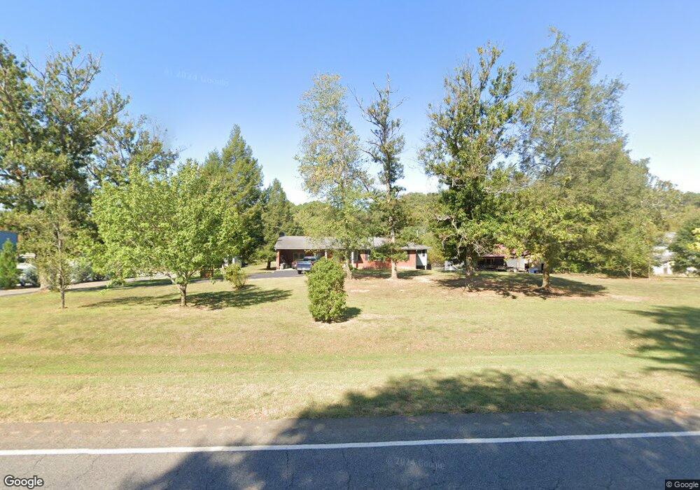
This home is located at 4177 Highway 411 NE, Rydal, GA 30171 and is currently estimated at $263,396, approximately $191 per square foot. 4177 Highway 411 NE is a home located in Bartow County with nearby schools including Pine Log Elementary School, Adairsville Middle School, and Adairsville High School.
Ownership History
Date
Name
Owned For
Owner Type
Purchase Details
Closed on
Jun 17, 2019
Sold by
Baker Jeff A
Bought by
Kleiber Derek A
Current Estimated Value
Home Financials for this Owner
Home Financials are based on the most recent Mortgage that was taken out on this home.
Original Mortgage
$100,000
Outstanding Balance
$87,746
Interest Rate
4%
Mortgage Type
New Conventional
Estimated Equity
$175,650
Purchase Details
Closed on
May 19, 2010
Sold by
Secretary Of Housing
Bought by
Thibodeaux Alyce Landauer
Home Financials for this Owner
Home Financials are based on the most recent Mortgage that was taken out on this home.
Original Mortgage
$60,749
Interest Rate
5.03%
Mortgage Type
New Conventional
Create a Home Valuation Report for This Property
The Home Valuation Report is an in-depth analysis detailing your home's value as well as a comparison with similar homes in the area
Home Values in the Area
Average Home Value in this Area
Purchase History
| Date | Buyer | Sale Price | Title Company |
|---|---|---|---|
| Kleiber Derek A | $175,000 | -- | |
| Thibodeaux Alyce Landauer | $56,000 | -- |
Source: Public Records
Mortgage History
| Date | Status | Borrower | Loan Amount |
|---|---|---|---|
| Open | Kleiber Derek A | $100,000 | |
| Previous Owner | Thibodeaux Alyce Landauer | $60,749 |
Source: Public Records
Tax History Compared to Growth
Tax History
| Year | Tax Paid | Tax Assessment Tax Assessment Total Assessment is a certain percentage of the fair market value that is determined by local assessors to be the total taxable value of land and additions on the property. | Land | Improvement |
|---|---|---|---|---|
| 2024 | $1,802 | $81,622 | $8,000 | $73,622 |
| 2023 | $1,828 | $80,955 | $8,000 | $72,955 |
| 2022 | $1,991 | $78,417 | $8,000 | $70,417 |
| 2021 | $1,582 | $59,299 | $8,000 | $51,299 |
| 2020 | $1,629 | $59,299 | $8,000 | $51,299 |
| 2019 | $799 | $51,267 | $4,000 | $47,267 |
| 2018 | $709 | $30,440 | $3,280 | $27,160 |
| 2017 | $712 | $30,440 | $3,280 | $27,160 |
| 2016 | $718 | $30,440 | $3,280 | $27,160 |
| 2015 | $667 | $28,600 | $3,280 | $25,320 |
| 2014 | $675 | $28,120 | $3,760 | $24,360 |
| 2013 | -- | $24,320 | $3,760 | $20,560 |
Source: Public Records
Map
Nearby Homes
- 300 Eminence Peak
- 301 Eminence Peak
- 157 Palisade Dr NE
- 151 Palisade Dr
- 122 Palisade Dr
- 104 E Valley Rd NE
- 0 Cherokee Hills Dr Unit 7323862
- 0 Cherokee Hills Dr Unit 129186
- 13 Four Feathers Ln NE
- 19 Four Feathers Ln NE
- 3785 Hwy 140 NE
- 34 E Heritage Dr NE
- 3789 Hwy 140 NE
- 23 Indian Hills Dr
- 44 E Heritage Dr NE
- 3793 Hwy 140 NE
- 3805 Hwy 140 NE
- 3797 Hwy 140 NE
- 3801 Hwy 140 NE
- 64 N Village Cir
- 4185 Highway 411 NE
- 11 Sugar Hill Rd NE
- 4191 Highway 411 NE
- 12 Sugar Hill Rd NE
- 4197 Highway 411
- 4197 Highway 411 NE
- 0 Hwy 411 Unit 10208587
- 0 Hwy 411 Unit 8254506
- 0 Hwy 411 Unit 7335055
- 0 Hwy 411
- 1325 Old Tennessee Hwy
- 1237 Old Tennessee Hwy
- 4200 U S 411
- 4200 Highway 411 NE
- 143 Sugar Hill Rd NE
- 147 Sugar Hill Rd NE
- 1223 Old Tennessee Hwy
- 1223 Old Tennessee Hwy
- 40 Vaughn Dairy Rd
- 151 Sugar Hill Rd NE