Estimated Value: $326,000 - $1,176,695
--
Bed
2
Baths
2,112
Sq Ft
$356/Sq Ft
Est. Value
About This Home
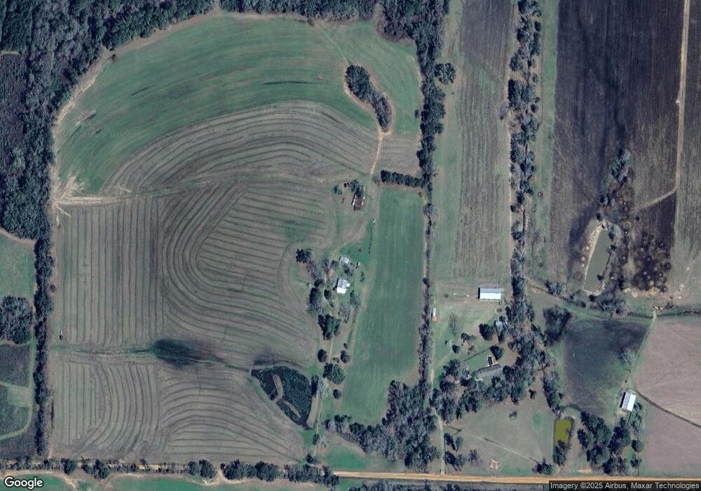
This home is located at 4179 Howard Rd, Pavo, GA 31778 and is currently estimated at $751,348, approximately $355 per square foot. 4179 Howard Rd is a home located in Brooks County with nearby schools including North Brooks Elementary School.
Ownership History
Date
Name
Owned For
Owner Type
Purchase Details
Closed on
Mar 10, 2022
Sold by
Howard Barbara P
Bought by
Howard Lee S and Howard Lori C
Current Estimated Value
Purchase Details
Closed on
Nov 26, 2019
Sold by
Howard John F
Bought by
Howard John F and Howard Barbara P
Purchase Details
Closed on
Feb 25, 2014
Sold by
Howard John F
Bought by
Conservation Use Covenant Recording
Purchase Details
Closed on
Sep 24, 2007
Bought by
Conservation Use Covenant Recording
Create a Home Valuation Report for This Property
The Home Valuation Report is an in-depth analysis detailing your home's value as well as a comparison with similar homes in the area
Home Values in the Area
Average Home Value in this Area
Purchase History
| Date | Buyer | Sale Price | Title Company |
|---|---|---|---|
| Howard Lee S | -- | -- | |
| Howard John F | -- | -- | |
| Conservation Use Covenant Recording | -- | -- | |
| Conservation Use Covenant Recording | -- | -- |
Source: Public Records
Tax History Compared to Growth
Tax History
| Year | Tax Paid | Tax Assessment Tax Assessment Total Assessment is a certain percentage of the fair market value that is determined by local assessors to be the total taxable value of land and additions on the property. | Land | Improvement |
|---|---|---|---|---|
| 2025 | $3,190 | $354,680 | $302,960 | $51,720 |
| 2024 | $3,190 | $354,680 | $302,960 | $51,720 |
| 2023 | $3,007 | $311,596 | $265,160 | $46,436 |
| 2022 | $2,645 | $286,880 | $252,520 | $34,360 |
| 2021 | $2,547 | $241,000 | $207,440 | $33,560 |
| 2020 | $6,685 | $240,720 | $207,440 | $33,280 |
| 2019 | $2,553 | $224,880 | $194,040 | $30,840 |
| 2018 | $7,005 | $239,840 | $209,000 | $30,840 |
| 2017 | $2,463 | $238,800 | $209,000 | $29,800 |
| 2016 | $2,446 | $238,800 | $209,000 | $29,800 |
| 2015 | -- | $239,080 | $209,000 | $30,080 |
| 2014 | -- | $240,160 | $209,000 | $31,160 |
| 2013 | -- | $241,580 | $212,120 | $29,460 |
Source: Public Records
Map
Nearby Homes
- 1136 Nesbitt Rd
- 1038-BA Church St
- 2055 S Roberts St
- 2051 W Pear St
- 9283 Tallokas Rd Unit 54/13
- 9283 Tallokas Rd
- 7402 Coffee Rd
- 1230 Parrish Rd
- 431 Dry Lake Rd
- 813 Vonier Road (6 Acres)
- 2818 Dry Lake Rd
- 13876 Ga Highway 122
- 16343 Georgia 33
- 16343 Ga Hwy 33 -8 34 Acres
- 16343
- 9900 Ozell Rd
- 16343 Ga Hwy 33 - 8 34 Acres Hwy
- 7921 Five Forks Rd
- 0 Spencer Rd
- 110 Nicole Britt Dr