4179 W 1050 S Unit 713 West Point, UT 84015
Estimated Value: $560,943 - $649,000
3
Beds
2
Baths
1,752
Sq Ft
$348/Sq Ft
Est. Value
About This Home
This home is located at 4179 W 1050 S Unit 713, West Point, UT 84015 and is currently estimated at $609,736, approximately $348 per square foot. 4179 W 1050 S Unit 713 is a home located in Davis County with nearby schools including West Point School, West Point Junior High School, and Syracuse High School.
Ownership History
Date
Name
Owned For
Owner Type
Purchase Details
Closed on
Nov 22, 2024
Sold by
Mullen John Timothy and Mullen Susan
Bought by
Cirrus Living Revocable Trust and Mullen
Current Estimated Value
Purchase Details
Closed on
Sep 13, 2023
Sold by
Ovation Homes Llc
Bought by
Mullen John Timothy and Mullen Susan
Home Financials for this Owner
Home Financials are based on the most recent Mortgage that was taken out on this home.
Original Mortgage
$824,850
Interest Rate
6.7%
Mortgage Type
Reverse Mortgage Home Equity Conversion Mortgage
Create a Home Valuation Report for This Property
The Home Valuation Report is an in-depth analysis detailing your home's value as well as a comparison with similar homes in the area
Home Values in the Area
Average Home Value in this Area
Purchase History
| Date | Buyer | Sale Price | Title Company |
|---|---|---|---|
| Cirrus Living Revocable Trust | -- | None Listed On Document | |
| Cirrus Living Revocable Trust | -- | None Listed On Document | |
| Mullen John Timothy | -- | None Listed On Document |
Source: Public Records
Mortgage History
| Date | Status | Borrower | Loan Amount |
|---|---|---|---|
| Previous Owner | Mullen John Timothy | $824,850 | |
| Previous Owner | Mullen John Timothy | $824,850 |
Source: Public Records
Tax History Compared to Growth
Tax History
| Year | Tax Paid | Tax Assessment Tax Assessment Total Assessment is a certain percentage of the fair market value that is determined by local assessors to be the total taxable value of land and additions on the property. | Land | Improvement |
|---|---|---|---|---|
| 2025 | $3,137 | $288,750 | $99,032 | $189,718 |
| 2024 | $2,987 | $276,100 | $89,225 | $186,875 |
| 2023 | $884 | $82,614 | $58,994 | $23,620 |
Source: Public Records
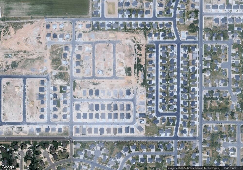
Map
Nearby Homes
- 1084 S 4090 W
- 1238 S 4290 W
- 1157 S 4425 W
- 1068 S 4425 W
- 835 S Criddle Rd
- 3951 Baltimore Cir
- 1125 S 4475 W
- 1139 S 4475 W
- 1155 S 4475 W
- 4443 W 920 S Unit 110
- 964 S 4475 W Unit 123
- 4191 W 1425 S
- 3867 Rungsted Cir
- 4578 W 1150 S
- 1141 S 4700 W
- 696 S 4500 W
- 895 Dunes Dr
- 3661 W 800 S
- 3565 W 800 S
- 851 S 3525 W
- 4179 W 1050 S Unit 711
- 4199 W 1050 S
- 4163 W 1050 S Unit 812
- 4178 W 1100 S
- 4190 W 1100 S
- 1037 S 4200 W Unit 710
- 4215 W 1050 S Unit 713
- 1036 S 4150 W Unit 813
- 1038 S 4200 W
- 4218 W 1100 S
- 1021 S 4200 W Unit 709
- 1077 S 4150 W
- 4177 W 1100 S
- 4189 W 1100 S
- 1089 S 4150 W
- 1039 S 4250 W Unit 724
- 1007 S 4200 W
- 4217 W 1100 S
- 4255 W 1050 S Unit 715
- 1006 S 4150 W