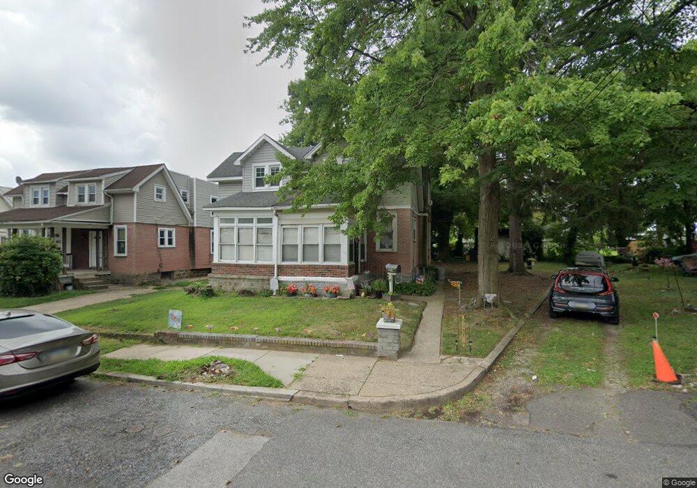
418 Arbor Rd Lansdowne, PA 19050
Estimated Value: $140,000 - $218,000
2
Beds
2
Baths
1,218
Sq Ft
$161/Sq Ft
Est. Value
About This Home
This home is located at 418 Arbor Rd, Lansdowne, PA 19050 and is currently estimated at $196,312, approximately $161 per square foot. 418 Arbor Rd is a home located in Delaware County with nearby schools including Evans Elementary School, Penn Wood Middle School, and Penn Wood High School - Cypress Street Campus.
Ownership History
Date
Name
Owned For
Owner Type
Purchase Details
Closed on
Jun 16, 2005
Sold by
Blevin Duley Robin L and Duley Gerald Perrion
Bought by
Knapp Sean
Current Estimated Value
Purchase Details
Closed on
Dec 2, 2003
Sold by
Yocum Diane E and Estate Of Esther E Courtney
Bought by
Blevin Duley Robin L and Duley Gerald Perrion
Home Financials for this Owner
Home Financials are based on the most recent Mortgage that was taken out on this home.
Original Mortgage
$25,704
Interest Rate
6.03%
Mortgage Type
Seller Take Back
Create a Home Valuation Report for This Property
The Home Valuation Report is an in-depth analysis detailing your home's value as well as a comparison with similar homes in the area
Home Values in the Area
Average Home Value in this Area
Purchase History
| Date | Buyer | Sale Price | Title Company |
|---|---|---|---|
| Knapp Sean | $27,516 | First American Title Ins Co | |
| Blevin Duley Robin L | $27,000 | -- |
Source: Public Records
Mortgage History
| Date | Status | Borrower | Loan Amount |
|---|---|---|---|
| Previous Owner | Blevin Duley Robin L | $25,704 |
Source: Public Records
Tax History
| Year | Tax Paid | Tax Assessment Tax Assessment Total Assessment is a certain percentage of the fair market value that is determined by local assessors to be the total taxable value of land and additions on the property. | Land | Improvement |
|---|---|---|---|---|
| 2025 | $3,653 | $85,540 | $40,000 | $45,540 |
| 2024 | $3,653 | $85,540 | $40,000 | $45,540 |
| 2023 | $5,010 | $129,190 | $59,440 | $69,750 |
| 2022 | $4,777 | $129,190 | $59,440 | $69,750 |
| 2021 | $7,224 | $129,190 | $59,440 | $69,750 |
| 2020 | $3,387 | $54,240 | $34,340 | $19,900 |
| 2019 | $3,328 | $54,240 | $34,340 | $19,900 |
| 2018 | $3,282 | $54,240 | $0 | $0 |
| 2017 | $3,213 | $54,240 | $0 | $0 |
| 2016 | $298 | $54,240 | $0 | $0 |
| 2015 | $298 | $54,240 | $0 | $0 |
| 2014 | $298 | $78,210 | $0 | $0 |
Source: Public Records
Map
Nearby Homes
- 417 Laurel Rd
- 401 Holly Rd
- 436 Church Ln
- 438 Church Ln
- 442 Church Ln
- 503 Bonsall Ave
- 622 Yeadon Ave
- 104 Oak Ave
- 702 Cedar Ave
- 912 Whitby Ave
- 1016 Whitby Ave
- 7010 Atlantic Ave
- 727 Fern St
- 7117 Atlantic Ave
- 22 Lexington Ave
- 57 Lexington Ave
- 59 Lexington Ave
- 1201 S Millick St
- 109 Lexington Ave
- 7123 Seaford Rd
Your Personal Tour Guide
Ask me questions while you tour the home.