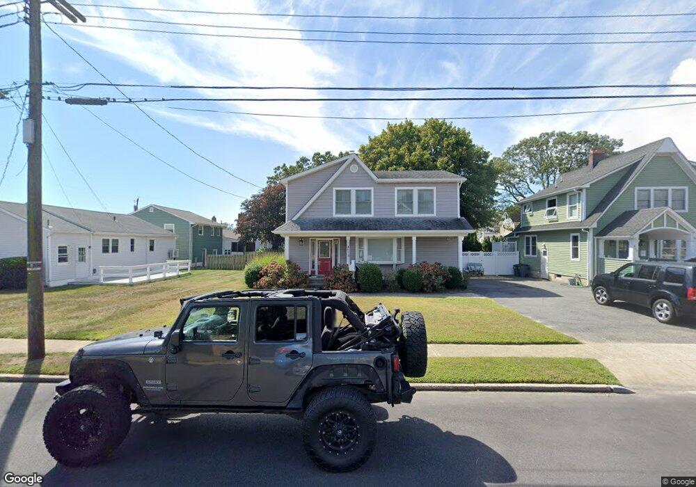
418 Arbutus Dr Point Pleasant Beach, NJ 08742
Point Pleasant Beach NeighborhoodEstimated Value: $888,000 - $1,069,448
3
Beds
2
Baths
2,826
Sq Ft
$353/Sq Ft
Est. Value
About This Home
This home is located at 418 Arbutus Dr, Point Pleasant Beach, NJ 08742 and is currently estimated at $998,612, approximately $353 per square foot. 418 Arbutus Dr is a home located in Ocean County with nearby schools including G Harold Antrim Elementary School, Point Pleasant Beach High School, and St. Peter School.
Ownership History
Date
Name
Owned For
Owner Type
Purchase Details
Closed on
Apr 30, 2008
Sold by
Hamilton Gary L
Bought by
Capuano Bertina and Ostrowski Kenneth M
Current Estimated Value
Home Financials for this Owner
Home Financials are based on the most recent Mortgage that was taken out on this home.
Original Mortgage
$220,000
Outstanding Balance
$139,689
Interest Rate
5.93%
Mortgage Type
Purchase Money Mortgage
Estimated Equity
$858,923
Create a Home Valuation Report for This Property
The Home Valuation Report is an in-depth analysis detailing your home's value as well as a comparison with similar homes in the area
Home Values in the Area
Average Home Value in this Area
Purchase History
| Date | Buyer | Sale Price | Title Company |
|---|---|---|---|
| Capuano Bertina | $417,000 | Stewart Title Guaranty Co |
Source: Public Records
Mortgage History
| Date | Status | Borrower | Loan Amount |
|---|---|---|---|
| Open | Capuano Bertina | $220,000 |
Source: Public Records
Tax History Compared to Growth
Tax History
| Year | Tax Paid | Tax Assessment Tax Assessment Total Assessment is a certain percentage of the fair market value that is determined by local assessors to be the total taxable value of land and additions on the property. | Land | Improvement |
|---|---|---|---|---|
| 2025 | $8,784 | $511,300 | $345,000 | $166,300 |
| 2024 | $8,518 | $511,300 | $345,000 | $166,300 |
| 2023 | $7,719 | $482,000 | $345,000 | $137,000 |
| 2022 | $7,719 | $476,800 | $345,000 | $131,800 |
| 2021 | $7,548 | $476,800 | $345,000 | $131,800 |
| 2020 | $7,538 | $476,800 | $345,000 | $131,800 |
| 2019 | $7,433 | $476,800 | $345,000 | $131,800 |
| 2018 | $7,319 | $476,800 | $345,000 | $131,800 |
| 2017 | $7,204 | $476,800 | $345,000 | $131,800 |
| 2016 | $7,238 | $476,800 | $345,000 | $131,800 |
| 2015 | $7,181 | $476,800 | $345,000 | $131,800 |
| 2014 | $7,147 | $476,800 | $345,000 | $131,800 |
Source: Public Records
Map
Nearby Homes
- 303 Cooks Ln
- 109 Griffiths Ave
- 325 Hawthorne Ave Unit 327
- 204 Curtis Ave
- 305 Chicago Ave
- 326 Curtis Ave Unit Lot 27
- 328 Curtis Ave Unit Lot 28
- 202 Yale Ave
- 37 Arnold Ave
- 25 Niblick St
- 728 Arnold Ave
- 607 Richmond Ave Unit 4
- 606 Bay Ave Unit 2
- 845 Arnold Ave Unit 3
- 201 Forman Ave
- 503 Atlantic Ave
- 110 Trenton Ave
- 216 Ocean Ave
- 222 Ocean Ave
- 2 Beachcomber Ln Unit 7-2