418 Baker St Ulysses, PA 16948
Estimated Value: $77,938 - $134,000
3
Beds
2
Baths
2,124
Sq Ft
$53/Sq Ft
Est. Value
About This Home
This home is located at 418 Baker St, Ulysses, PA 16948 and is currently estimated at $112,485, approximately $52 per square foot. 418 Baker St is a home located in Potter County with nearby schools including Northern Potter Children's School, Northern Potter Junior/Senior High School, and Ulysses Amish School.
Ownership History
Date
Name
Owned For
Owner Type
Purchase Details
Closed on
Feb 1, 2013
Sold by
Dean James H and Dean Karen L
Bought by
Hanes Glen R and Hanes Joyce E
Current Estimated Value
Purchase Details
Closed on
Dec 4, 2009
Home Financials for this Owner
Home Financials are based on the most recent Mortgage that was taken out on this home.
Original Mortgage
$43,500
Interest Rate
5.01%
Mortgage Type
New Conventional
Create a Home Valuation Report for This Property
The Home Valuation Report is an in-depth analysis detailing your home's value as well as a comparison with similar homes in the area
Home Values in the Area
Average Home Value in this Area
Purchase History
| Date | Buyer | Sale Price | Title Company |
|---|---|---|---|
| Hanes Glen R | $32,500 | None Available | |
| -- | -- | None Available |
Source: Public Records
Mortgage History
| Date | Status | Borrower | Loan Amount |
|---|---|---|---|
| Previous Owner | -- | $43,500 |
Source: Public Records
Tax History Compared to Growth
Tax History
| Year | Tax Paid | Tax Assessment Tax Assessment Total Assessment is a certain percentage of the fair market value that is determined by local assessors to be the total taxable value of land and additions on the property. | Land | Improvement |
|---|---|---|---|---|
| 2025 | $1,862 | $22,300 | $3,000 | $19,300 |
| 2024 | $1,756 | $22,300 | $3,000 | $19,300 |
| 2023 | $1,652 | $22,300 | $3,000 | $19,300 |
| 2022 | $1,583 | $22,300 | $3,000 | $19,300 |
| 2021 | $1,561 | $22,300 | $3,000 | $19,300 |
| 2020 | $1,517 | $22,300 | $3,000 | $19,300 |
| 2019 | $1,488 | $22,300 | $3,000 | $19,300 |
| 2018 | $1,435 | $22,300 | $3,000 | $19,300 |
| 2017 | -- | $22,300 | $3,000 | $19,300 |
| 2016 | $1,365 | $22,300 | $3,000 | $19,300 |
| 2015 | -- | $22,300 | $3,000 | $19,300 |
| 2012 | -- | $21,520 | $3,000 | $18,520 |
Source: Public Records
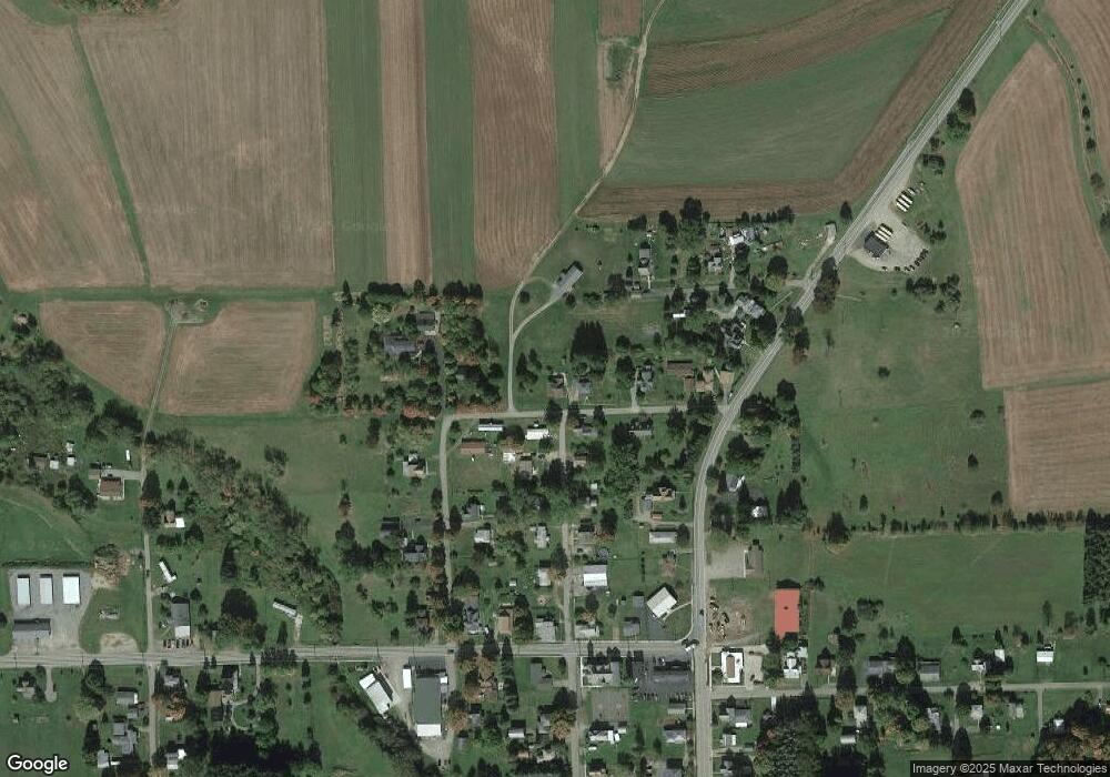
Map
Nearby Homes
- 381 Northern Potter Rd
- 101 Cowburn Rd
- 350 Brown Rd
- 301 Brown Rd
- 1354 White Knoll Rd
- 2110 State Route 49 W
- 0 Swartz Rd Unit LotWP001 19392979
- 0 Swartz Rd Unit 11244668
- 1201 Johnson Rd
- 651 Dennis Hill Rd
- 377 Bingham Center Rd
- 000 Bingham Center Rd
- 00 Bingham Center Rd
- 0 Bingham Center Rd
- 0 T455
- 0 N Brookland Rd
- 313 N Brookland Rd
- 2955 Genesee Mills Rd
- 250 Whitman Rd
- 514 Kidney Rd