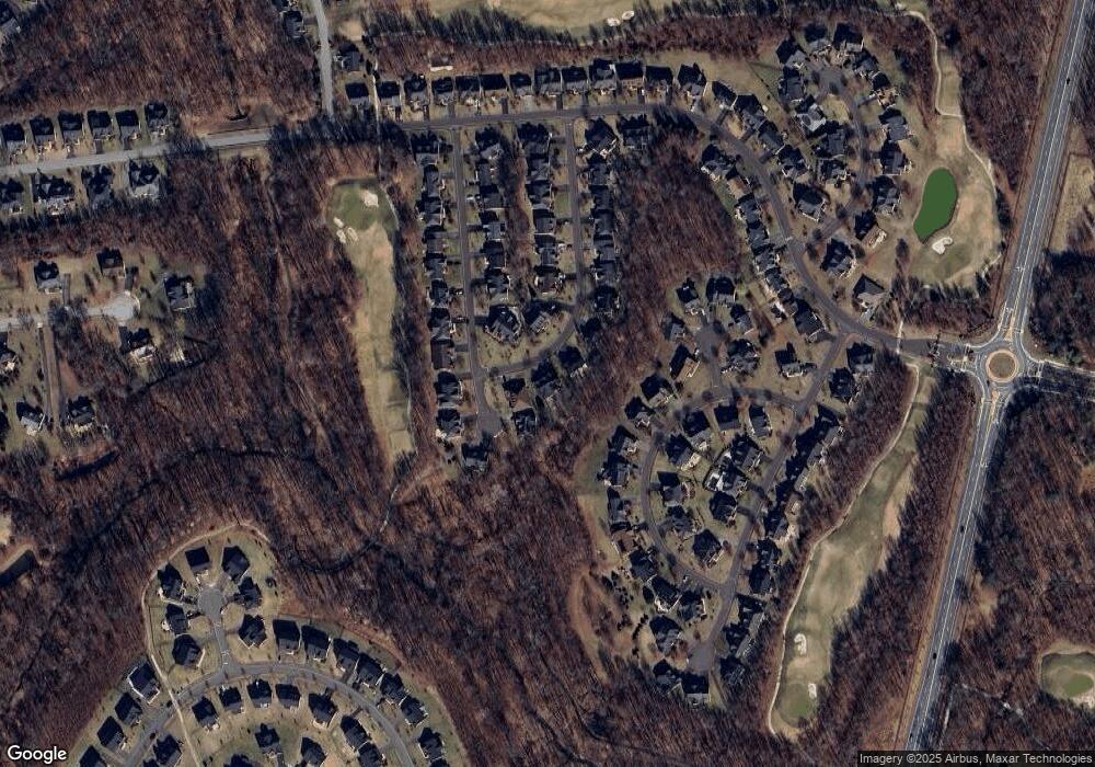
418 Bloomfield Ln Upper Marlboro, MD 20774
Estimated Value: $895,002 - $1,106,000
--
Bed
4
Baths
5,190
Sq Ft
$195/Sq Ft
Est. Value
About This Home
This home is located at 418 Bloomfield Ln, Upper Marlboro, MD 20774 and is currently estimated at $1,010,001, approximately $194 per square foot. 418 Bloomfield Ln is a home located in Prince George's County with nearby schools including Perrywood Elementary School, Kettering Middle School, and Dr. Henry A. Wise Jr. High School.
Ownership History
Date
Name
Owned For
Owner Type
Purchase Details
Closed on
Mar 6, 2008
Sold by
Nvr Inc
Bought by
Sheeley Perry and Sheeley Morenike Cole
Current Estimated Value
Home Financials for this Owner
Home Financials are based on the most recent Mortgage that was taken out on this home.
Original Mortgage
$629,000
Outstanding Balance
$391,436
Interest Rate
5.72%
Mortgage Type
Purchase Money Mortgage
Estimated Equity
$618,565
Purchase Details
Closed on
Feb 29, 2008
Sold by
Nvr Inc
Bought by
Sheeley Perry and Sheeley Morenike Cole
Home Financials for this Owner
Home Financials are based on the most recent Mortgage that was taken out on this home.
Original Mortgage
$629,000
Outstanding Balance
$391,436
Interest Rate
5.72%
Mortgage Type
Purchase Money Mortgage
Estimated Equity
$618,565
Create a Home Valuation Report for This Property
The Home Valuation Report is an in-depth analysis detailing your home's value as well as a comparison with similar homes in the area
Home Values in the Area
Average Home Value in this Area
Purchase History
| Date | Buyer | Sale Price | Title Company |
|---|---|---|---|
| Sheeley Perry | $699,000 | -- | |
| Sheeley Perry | $699,000 | -- |
Source: Public Records
Mortgage History
| Date | Status | Borrower | Loan Amount |
|---|---|---|---|
| Open | Sheeley Perry | $629,000 | |
| Closed | Sheeley Perry | $629,000 |
Source: Public Records
Tax History Compared to Growth
Tax History
| Year | Tax Paid | Tax Assessment Tax Assessment Total Assessment is a certain percentage of the fair market value that is determined by local assessors to be the total taxable value of land and additions on the property. | Land | Improvement |
|---|---|---|---|---|
| 2024 | $10,141 | $799,300 | $0 | $0 |
| 2023 | $9,642 | $722,300 | $0 | $0 |
| 2022 | $7,176 | $645,300 | $201,400 | $443,900 |
| 2021 | $8,749 | $636,133 | $0 | $0 |
| 2020 | $17,307 | $626,967 | $0 | $0 |
| 2019 | $8,847 | $617,800 | $150,700 | $467,100 |
| 2018 | $8,191 | $601,533 | $0 | $0 |
| 2017 | $7,982 | $585,267 | $0 | $0 |
| 2016 | -- | $569,000 | $0 | $0 |
| 2015 | $7,071 | $540,700 | $0 | $0 |
| 2014 | $7,071 | $512,400 | $0 | $0 |
Source: Public Records
Map
Nearby Homes
- 14007 Mary Bowie Pkwy
- 500 Ashaway Ln
- 504 Ashaway Ln
- 401 Rifton Ct
- 302 Panora Way
- 14310 Turner Wootton Pkwy
- 711 Bleak Hill Place
- 402 Esterville Ln
- 14408 Woodmore Oaks Ct
- 13500 Mary Bowie Pkwy
- 420 Esmond Place
- 541 Bolin Terrace
- 607 Rexford Way
- 13403 Hillrod Ln
- 14637 Argos Place
- 14504 Turner Wootton Pkwy
- 13313 Burleigh St
- 13300 Burleigh St
- 14201 Village Manor Ct
- 13903 Norton Hill Ct
- 416 Bloomfield Ln
- 418 Lonsdale Ct
- 420 Lonsdale Ct
- 414 Bloomfield Ln
- 415 Bloomfield Ln
- 13319 Lansdale Hope Dr
- 414 Lonsdale Ct
- 14111 Modena Cir
- 14109 Modena Cir
- 417 Lonsdale Ct
- 412 Bloomfield Ln
- 421 Lonsdale Ct
- 14107 Modena Cir
- 14113 Modena Cir
- 411 Bloomfield Ln
- 419 Lonsdale Ct
- 415 Lonsdale Ct
- 410 Lonsdale Ct
- 413 Lonsdale Ct
- 410 Bloomfield Ln
