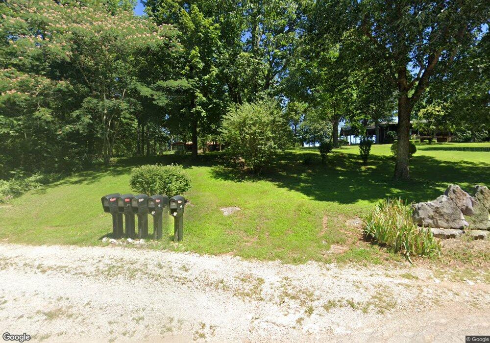
418 Detour Rd Bowling Green, KY 42101
Estimated Value: $470,000
4
Beds
3
Baths
4,222
Sq Ft
$111/Sq Ft
Est. Value
About This Home
This home is located at 418 Detour Rd, Bowling Green, KY 42101 and is currently estimated at $470,000, approximately $111 per square foot. 418 Detour Rd is a home located in Warren County with nearby schools including Richardsville Elementary School, Warren East Middle School, and Warren East High School.
Ownership History
Date
Name
Owned For
Owner Type
Purchase Details
Closed on
Nov 20, 2024
Sold by
Jordan Joe Robert
Bought by
Mohawk Center Llc
Current Estimated Value
Home Financials for this Owner
Home Financials are based on the most recent Mortgage that was taken out on this home.
Original Mortgage
$120,000
Outstanding Balance
$35,191
Interest Rate
6.32%
Mortgage Type
Construction
Estimated Equity
$434,809
Purchase Details
Closed on
Dec 13, 2017
Sold by
Russell Marvin and Russell Linda Stanley
Bought by
Miller Billy Dee
Create a Home Valuation Report for This Property
The Home Valuation Report is an in-depth analysis detailing your home's value as well as a comparison with similar homes in the area
Home Values in the Area
Average Home Value in this Area
Purchase History
| Date | Buyer | Sale Price | Title Company |
|---|---|---|---|
| Mohawk Center Llc | $130,000 | None Listed On Document | |
| Mohawk Center Llc | $130,000 | None Listed On Document | |
| Miller Billy Dee | $36,466 | None Available |
Source: Public Records
Mortgage History
| Date | Status | Borrower | Loan Amount |
|---|---|---|---|
| Open | Mohawk Center Llc | $120,000 | |
| Closed | Mohawk Center Llc | $120,000 |
Source: Public Records
Tax History Compared to Growth
Tax History
| Year | Tax Paid | Tax Assessment Tax Assessment Total Assessment is a certain percentage of the fair market value that is determined by local assessors to be the total taxable value of land and additions on the property. | Land | Improvement |
|---|---|---|---|---|
| 2024 | $2,317 | $348,460 | $0 | $0 |
| 2023 | $2,335 | $266,444 | $0 | $0 |
| 2022 | $2,168 | $264,540 | $0 | $0 |
| 2021 | $2,160 | $348,460 | $0 | $0 |
| 2020 | $2,168 | $348,460 | $0 | $0 |
| 2019 | $2,150 | $348,460 | $0 | $0 |
| 2018 | $2,140 | $348,460 | $0 | $0 |
| 2017 | $2,090 | $258,650 | $0 | $0 |
| 2015 | $576 | $253,140 | $0 | $0 |
| 2014 | $1,981 | $253,640 | $0 | $0 |
Source: Public Records
Map
Nearby Homes
- 146 Maria Dr
- 748 Slim Island Rd
- 305 Slim Island Rd
- 232 N Campbell Rd
- 805 Witt Rd
- 233 Apple Valley Rd
- 651 Allen Michael Ln
- 660 Allen Michael Ct
- 4362 Girkin Woods Way
- 2111 Sugarwood Dr
- 3054 Gunsmoke Trail Way
- 2772 Cedrus Ave
- 2730 Cedrus Ave
- 3225 Meadowview Ave
- 2697 Cedrus Ave
- 2688 Cedrus Ave
- 2682 Cedrus Ave
- 2679 Cedrus Ave
- 2652 Cedrus Ave
- 2691 Cedrus Ave