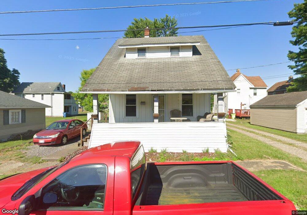
418 Euclid St SW Massillon, OH 44647
West Massillon NeighborhoodEstimated Value: $87,739 - $114,000
3
Beds
1
Bath
1,092
Sq Ft
$92/Sq Ft
Est. Value
About This Home
This home is located at 418 Euclid St SW, Massillon, OH 44647 and is currently estimated at $100,185, approximately $91 per square foot. 418 Euclid St SW is a home located in Stark County with nearby schools including Massillon Intermediate School, Massillon Junior High School, and Washington High School.
Ownership History
Date
Name
Owned For
Owner Type
Purchase Details
Closed on
Mar 2, 1999
Sold by
Mccune Timothy P and Mccune Kris A
Bought by
Huff Benjamin A
Current Estimated Value
Home Financials for this Owner
Home Financials are based on the most recent Mortgage that was taken out on this home.
Original Mortgage
$43,920
Outstanding Balance
$10,702
Interest Rate
6.83%
Mortgage Type
Purchase Money Mortgage
Estimated Equity
$89,483
Purchase Details
Closed on
Aug 13, 1993
Create a Home Valuation Report for This Property
The Home Valuation Report is an in-depth analysis detailing your home's value as well as a comparison with similar homes in the area
Home Values in the Area
Average Home Value in this Area
Purchase History
| Date | Buyer | Sale Price | Title Company |
|---|---|---|---|
| Huff Benjamin A | $54,900 | -- | |
| -- | $29,500 | -- |
Source: Public Records
Mortgage History
| Date | Status | Borrower | Loan Amount |
|---|---|---|---|
| Open | Huff Benjamin A | $43,920 |
Source: Public Records
Tax History Compared to Growth
Tax History
| Year | Tax Paid | Tax Assessment Tax Assessment Total Assessment is a certain percentage of the fair market value that is determined by local assessors to be the total taxable value of land and additions on the property. | Land | Improvement |
|---|---|---|---|---|
| 2025 | -- | $23,630 | $3,430 | $20,200 |
| 2024 | -- | $23,630 | $3,430 | $20,200 |
| 2023 | $775 | $15,120 | $2,870 | $12,250 |
| 2022 | $778 | $15,120 | $2,870 | $12,250 |
| 2021 | $791 | $15,120 | $2,870 | $12,250 |
| 2020 | $667 | $11,980 | $2,350 | $9,630 |
| 2019 | $657 | $11,980 | $2,350 | $9,630 |
| 2018 | $653 | $11,980 | $2,350 | $9,630 |
| 2017 | $612 | $10,470 | $1,860 | $8,610 |
| 2016 | $622 | $10,470 | $1,860 | $8,610 |
| 2015 | $614 | $10,470 | $1,860 | $8,610 |
| 2014 | $614 | $10,120 | $1,790 | $8,330 |
| 2013 | $311 | $10,120 | $1,790 | $8,330 |
Source: Public Records
Map
Nearby Homes
- 827 9th St SW
- 504 5th St SW
- 532 4th St SW
- 878 Liberty Ct SW
- 718 Bebb Ave SW
- 315 14th St SW
- 533 Webb Ave SW
- 1301 Lincoln Way NW
- 101 14th St NW
- 1104 4th St SW
- 309 15th St NW
- 3414 Joyce Ave NW Unit 18
- Lot 42 Joyce Ave NW
- 3447 Marys Way Ave NW
- 3476 Joyce Ave NW Unit 15
- 202 Rose Ave SE
- 17 Maple Ave SE
- 1737 Leslie St NW
- 620 1st St NW
- 728 Hillside Place SW
- 423 8th St SW
- 813 Green Ave SW
- 805 Green Ave SW
- 417 Euclid St SW
- 429 8th St SW
- 825 Green Ave SW
- 421 Euclid St SW
- 425 Euclid St SW
- 829 Green Ave SW
- 416 8th St SW
- 808 Green Sw(p)
- 431 Euclid St SW
- 831 Green Ave SW
- 719 Green Ave SW
- 439 8th St SW
- 437 Euclid St SW
- 0 Euclid St SW Unit 3944230
- 0 Euclid St SW Unit 4179971
- 422 8th St SW
- 713 Green Ave SW