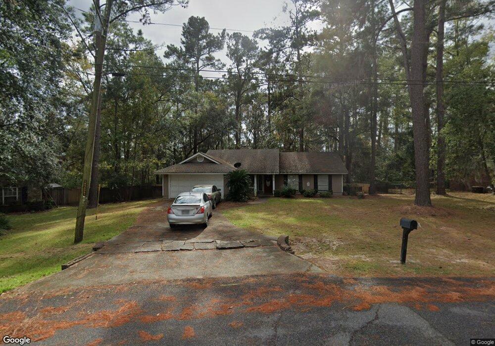
418 Floyd St Hinesville, GA 31313
Estimated Value: $233,000 - $265,000
3
Beds
2
Baths
1,459
Sq Ft
$168/Sq Ft
Est. Value
About This Home
This home is located at 418 Floyd St, Hinesville, GA 31313 and is currently estimated at $245,223, approximately $168 per square foot. 418 Floyd St is a home located in Liberty County with nearby schools including Joseph Martin Elementary School, Snelson-Golden Middle School, and Liberty County High School.
Ownership History
Date
Name
Owned For
Owner Type
Purchase Details
Closed on
Jul 7, 2020
Sold by
Mackall Toby R
Bought by
Toichan Llc
Current Estimated Value
Purchase Details
Closed on
Sep 8, 2006
Sold by
Gassaway W A
Bought by
Mackall Toby R
Home Financials for this Owner
Home Financials are based on the most recent Mortgage that was taken out on this home.
Original Mortgage
$131,087
Interest Rate
6.52%
Mortgage Type
VA
Purchase Details
Closed on
Apr 30, 1987
Bought by
Gassaway W A
Create a Home Valuation Report for This Property
The Home Valuation Report is an in-depth analysis detailing your home's value as well as a comparison with similar homes in the area
Home Values in the Area
Average Home Value in this Area
Purchase History
| Date | Buyer | Sale Price | Title Company |
|---|---|---|---|
| Toichan Llc | $117,100 | -- | |
| Mackall Toby R | $126,900 | -- | |
| Gassaway W A | $69,000 | -- |
Source: Public Records
Mortgage History
| Date | Status | Borrower | Loan Amount |
|---|---|---|---|
| Previous Owner | Mackall Toby R | $131,087 |
Source: Public Records
Tax History Compared to Growth
Tax History
| Year | Tax Paid | Tax Assessment Tax Assessment Total Assessment is a certain percentage of the fair market value that is determined by local assessors to be the total taxable value of land and additions on the property. | Land | Improvement |
|---|---|---|---|---|
| 2024 | $3,516 | $71,555 | $16,000 | $55,555 |
| 2023 | $3,516 | $67,616 | $14,000 | $53,616 |
| 2022 | $2,698 | $57,938 | $14,000 | $43,938 |
| 2021 | $2,226 | $47,064 | $11,200 | $35,864 |
| 2020 | $2,180 | $45,434 | $11,200 | $34,234 |
| 2019 | $2,110 | $44,296 | $9,600 | $34,696 |
| 2018 | $2,098 | $44,296 | $9,600 | $34,696 |
| 2017 | $1,474 | $44,759 | $9,600 | $35,159 |
| 2016 | $1,945 | $43,085 | $9,600 | $33,485 |
| 2015 | $2,242 | $39,736 | $9,600 | $30,136 |
| 2014 | $2,242 | $48,618 | $10,400 | $38,218 |
| 2013 | -- | $51,984 | $10,400 | $41,584 |
Source: Public Records
Map
Nearby Homes
- 0 E General Stewart Way
- 24 Sherwood Dr
- 411 Woodland Dr
- 0 General Stewart Way
- 301 Lakeview Dr
- 205 Wilson Ave
- 173 Ironwood Dr
- 1.76 AC Tranquill Way
- 1.76 AC Shyam Dr
- 830 Bradwell St
- 108 W General Stewart Way
- 822 Lakeview Ct
- 812 Spanish Oak Dr
- 103 Stewart Terrace
- 604 Caroline St
- 910 Kings Rd
- 1 Oglethorpe Ave
- 804 Barrington Dr
- 996 Stone Ct
- 4 Lots Memorial Dr
- 418 Floyd Cir
- 422 Floyd Cir
- 416 Floyd Cir
- 426 Floyd Cir
- 427 Floyd Cir
- 427 Floyd Cir
- 414 Floyd Cir
- 428 Floyd Cir Unit LOT 15
- 428 Floyd Cir
- 428 Floyd Cir
- 413 Floyd Cir
- 408 Floyd St
- 408 Floyd Cir
- 432 Floyd Cir
- 435 Floyd Cir
- 457 Floyd Cir
- 502 E General Stewart Way Unit B
- 0 Stacy St Unit 7057263
- 406 Floyd St
- 436 Floyd Cir