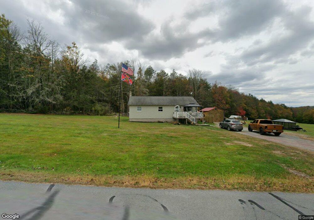
418 Forest St Honesdale, PA 18431
Estimated Value: $219,000 - $293,532
3
Beds
2
Baths
1,215
Sq Ft
$212/Sq Ft
Est. Value
About This Home
This home is located at 418 Forest St, Honesdale, PA 18431 and is currently estimated at $257,133, approximately $211 per square foot. 418 Forest St is a home located in Wayne County with nearby schools including Honesdale High School and St. Vincent's School.
Ownership History
Date
Name
Owned For
Owner Type
Purchase Details
Closed on
Jul 28, 2022
Sold by
Nelson Vanhorn Jr William
Bought by
Vanhorn William Nelson and Vanhorn Michele
Current Estimated Value
Home Financials for this Owner
Home Financials are based on the most recent Mortgage that was taken out on this home.
Original Mortgage
$172,669
Outstanding Balance
$165,466
Interest Rate
5.81%
Mortgage Type
FHA
Estimated Equity
$91,667
Purchase Details
Closed on
Apr 18, 2019
Sold by
Tomaine Lisa M
Bought by
Vanhorn William N and Cron Michele
Home Financials for this Owner
Home Financials are based on the most recent Mortgage that was taken out on this home.
Original Mortgage
$108,007
Interest Rate
5.12%
Mortgage Type
FHA
Purchase Details
Closed on
Apr 8, 2005
Sold by
Tomaine Paul V and Tomaine Lisa M
Bought by
Tomaine Lisa M
Create a Home Valuation Report for This Property
The Home Valuation Report is an in-depth analysis detailing your home's value as well as a comparison with similar homes in the area
Home Values in the Area
Average Home Value in this Area
Purchase History
| Date | Buyer | Sale Price | Title Company |
|---|---|---|---|
| Vanhorn William Nelson | -- | New Title Company Name | |
| Vanhorn William N | $110,000 | None Available | |
| Tomaine Lisa M | -- | None Available |
Source: Public Records
Mortgage History
| Date | Status | Borrower | Loan Amount |
|---|---|---|---|
| Open | Vanhorn William Nelson | $172,669 | |
| Previous Owner | Vanhorn William N | $108,007 |
Source: Public Records
Tax History Compared to Growth
Tax History
| Year | Tax Paid | Tax Assessment Tax Assessment Total Assessment is a certain percentage of the fair market value that is determined by local assessors to be the total taxable value of land and additions on the property. | Land | Improvement |
|---|---|---|---|---|
| 2025 | $3,390 | $205,500 | $81,900 | $123,600 |
| 2024 | $3,233 | $205,500 | $81,900 | $123,600 |
| 2023 | $4,592 | $205,500 | $81,900 | $123,600 |
| 2022 | $3,250 | $135,800 | $46,000 | $89,800 |
| 2021 | $3,218 | $135,800 | $46,000 | $89,800 |
| 2020 | $3,218 | $135,800 | $46,000 | $89,800 |
| 2019 | $3,002 | $135,800 | $46,000 | $89,800 |
| 2018 | $2,921 | $135,800 | $46,000 | $89,800 |
| 2017 | $2,655 | $135,800 | $46,000 | $89,800 |
| 2016 | $1,944 | $135,800 | $46,000 | $89,800 |
| 2014 | -- | $135,800 | $46,000 | $89,800 |
Source: Public Records
Map
Nearby Homes
- 4 Center Ave
- 104 Cherry View Ct
- 28 Summit View Ct
- 27 Summit View Ct
- 22 Summit View Ct
- 18 Summit View Ct
- 13 Summit View Ct
- 14 Summit View Ct
- 4 Crestmont Dr
- 4 Beechwood Dr
- 771 Ridge St
- 443 Terrace St
- 339 Terrace St
- 721 Maple Ave
- 236 Vine St
- 426 Grove St
- 0 Vine St
- 307 Grove St
- 215 Vine St
- 119 Linwood St
- 427 Forest St
- 16 Smith Pond Rd
- 399 Forest St
- 400 Forest St
- 400 Forest St
- 443 Forest St
- 176 Millers Farm Ln
- 174 Millers Farm Ln
- 172 Millers Farm Ln
- 17 Bulkhead Ln
- 168 Lakeside Ave
- 462 Forest St
- 11 Bulkhead Ln
- 21 Reid Ave
- 17 Reid Ave
- 7 Bulkhead Ln
- 166 Lakeside Ave
- 162 Lakeside Ave
- 162 Millers Farm Ln
- 196 Cadjaw Pond Rd