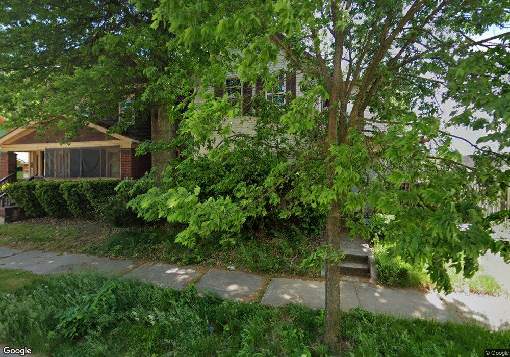
418 Power St Unit 420 Akron, OH 44311
Downtown Akron NeighborhoodEstimated Value: $132,000 - $253,496
3
Beds
1
Bath
3,364
Sq Ft
$57/Sq Ft
Est. Value
About This Home
This home is located at 418 Power St Unit 420, Akron, OH 44311 and is currently estimated at $190,124, approximately $56 per square foot. 418 Power St Unit 420 is a home located in Summit County with nearby schools including North High School, Main Preparatory Academy, and Case Preparatory Academy.
Ownership History
Date
Name
Owned For
Owner Type
Purchase Details
Closed on
Dec 8, 2023
Sold by
Carter Roger W
Bought by
Roger Carter Properties Llc
Current Estimated Value
Purchase Details
Closed on
Dec 7, 2023
Sold by
Carter Roger W
Bought by
Roger Carter Properties Llc
Purchase Details
Closed on
Jun 20, 2005
Sold by
Miller Doris M
Bought by
Carter Roger W
Home Financials for this Owner
Home Financials are based on the most recent Mortgage that was taken out on this home.
Original Mortgage
$87,500
Interest Rate
5.86%
Mortgage Type
Fannie Mae Freddie Mac
Purchase Details
Closed on
Mar 30, 1999
Sold by
Reser Nancy
Bought by
Miller Doris M
Create a Home Valuation Report for This Property
The Home Valuation Report is an in-depth analysis detailing your home's value as well as a comparison with similar homes in the area
Home Values in the Area
Average Home Value in this Area
Purchase History
| Date | Buyer | Sale Price | Title Company |
|---|---|---|---|
| Roger Carter Properties Llc | -- | None Listed On Document | |
| Roger Carter Properties Llc | -- | None Listed On Document | |
| Carter Roger W | $145,000 | Land America-Lawyers Title | |
| Miller Doris M | -- | -- |
Source: Public Records
Mortgage History
| Date | Status | Borrower | Loan Amount |
|---|---|---|---|
| Previous Owner | Carter Roger W | $87,500 |
Source: Public Records
Tax History Compared to Growth
Tax History
| Year | Tax Paid | Tax Assessment Tax Assessment Total Assessment is a certain percentage of the fair market value that is determined by local assessors to be the total taxable value of land and additions on the property. | Land | Improvement |
|---|---|---|---|---|
| 2025 | $3,415 | $62,671 | $8,624 | $54,047 |
| 2024 | $3,415 | $62,671 | $8,624 | $54,047 |
| 2023 | $3,415 | $62,671 | $8,624 | $54,047 |
| 2022 | $2,921 | $41,885 | $5,712 | $36,173 |
| 2021 | $2,924 | $41,885 | $5,712 | $36,173 |
| 2020 | $2,881 | $41,880 | $5,710 | $36,170 |
| 2019 | $2,637 | $34,680 | $5,710 | $28,970 |
| 2018 | $2,603 | $34,680 | $5,710 | $28,970 |
| 2017 | $2,294 | $34,680 | $5,710 | $28,970 |
| 2016 | $2,295 | $29,860 | $5,710 | $24,150 |
| 2015 | $2,294 | $29,860 | $5,710 | $24,150 |
| 2014 | $2,276 | $29,860 | $5,710 | $24,150 |
| 2013 | $2,239 | $29,990 | $5,710 | $24,280 |
Source: Public Records
Map
Nearby Homes
- 495 Beacon St
- 442 E Thornton St
- 498 Gage St
- 380 Cross St Unit 382
- 531 Allyn St Unit 533
- 370 E Thornton St
- 403 Spicer St
- 633 Brown St
- 319 Sterling Ct
- 397 Spicer St
- 393 Spicer St
- 463 Allyn St
- 634 Spicer St
- 274 Wheeler St
- 269 Wheeler St
- 433 Allyn St
- 590 and 596 Sumner St
- 685 Brown St
- 628, 634 & 636 Sumner St Unit 6 units
- 298 Sumner Ct
- 418 Power St Unit 3
- 418 Power St Unit 2
- 418 Power St Unit 1
- 426 Power St
- 420 Power St Unit 3
- 420 Power St Unit 5
- 420 Power St Unit 4
- 420 Power St Unit 2
- 420 Power St Unit 1
- 414 Power St
- 410 Power St
- 432 Power St
- 499 Brown St Unit A
- 499 Brown St Unit Down
- 499 Brown St Unit Up
- 499 Brown St
- 484 Spicer St
- 490 Spicer St Unit 494
- 480 Spicer St
- 403 Power St