418 Sam Snead Cir Oakland, MD 21550
Estimated Value: $301,000 - $614,000
--
Bed
2
Baths
2,111
Sq Ft
$223/Sq Ft
Est. Value
About This Home
This home is located at 418 Sam Snead Cir, Oakland, MD 21550 and is currently estimated at $470,173, approximately $222 per square foot. 418 Sam Snead Cir is a home located in Garrett County with nearby schools including Broad Ford Elementary School, Southern Middle School, and Southern Garrett High School.
Ownership History
Date
Name
Owned For
Owner Type
Purchase Details
Closed on
Oct 20, 2023
Sold by
Cralyn Llc
Bought by
Imes Stephen A and Kremann Kathleen
Current Estimated Value
Home Financials for this Owner
Home Financials are based on the most recent Mortgage that was taken out on this home.
Original Mortgage
$411,825
Outstanding Balance
$403,833
Interest Rate
7.19%
Mortgage Type
New Conventional
Estimated Equity
$66,340
Purchase Details
Closed on
Sep 22, 2022
Sold by
Mattingly Amanda
Bought by
Cralyn Llc
Create a Home Valuation Report for This Property
The Home Valuation Report is an in-depth analysis detailing your home's value as well as a comparison with similar homes in the area
Home Values in the Area
Average Home Value in this Area
Purchase History
| Date | Buyer | Sale Price | Title Company |
|---|---|---|---|
| Imes Stephen A | $433,500 | First American Title | |
| Cralyn Llc | $110,000 | -- |
Source: Public Records
Mortgage History
| Date | Status | Borrower | Loan Amount |
|---|---|---|---|
| Open | Imes Stephen A | $411,825 |
Source: Public Records
Tax History Compared to Growth
Tax History
| Year | Tax Paid | Tax Assessment Tax Assessment Total Assessment is a certain percentage of the fair market value that is determined by local assessors to be the total taxable value of land and additions on the property. | Land | Improvement |
|---|---|---|---|---|
| 2025 | $3,037 | $195,300 | $23,700 | $171,600 |
| 2024 | $3,008 | $183,400 | $0 | $0 |
| 2023 | $2,813 | $171,500 | $0 | $0 |
| 2022 | $2,617 | $159,600 | $23,700 | $135,900 |
| 2021 | $2,609 | $159,100 | $0 | $0 |
| 2020 | $2,601 | $158,600 | $0 | $0 |
| 2019 | $2,593 | $158,100 | $23,700 | $134,400 |
| 2018 | $2,488 | $158,100 | $23,700 | $134,400 |
| 2017 | $2,521 | $158,100 | $0 | $0 |
| 2016 | -- | $160,900 | $0 | $0 |
| 2015 | -- | $160,900 | $0 | $0 |
| 2014 | -- | $160,900 | $0 | $0 |
Source: Public Records
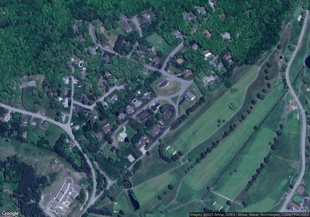
Map
Nearby Homes
- 0 Crosby Dr Unit 64/65
- 0 Sam Snead Cir Unit 1 MDGA2010358
- 62 Crosby Dr
- 0 N Hammond St
- 163 Mitchell Dr
- 163 Crestview Dr
- 11 Sunset Dr
- 315 Coolidge Ave
- 13209 Garrett Hwy
- 511 E Green St
- 503 E Alder St
- 0 8th & Dennett Road St Unit MDGA2009886
- 5202 Hutton Rd
- 611 E Oak St
- 627 Hamill St
- 1056 Sunrise Dr
- 0 Memorial Dr Unit MDGA2010668
- 111 Knoll Crest Heights Dr
- 609 Southern Pines Dr
- 127 S Oakhall Dr
- 416 Sam Snead Cir
- 420 Sam Snead Cir
- 417 Sam Snead Cir
- 419 Sam Snead Cir
- 410 Sam Snead Cir
- 504 Palmer Ln
- 421 Sam Snead Cir
- Lots 1,2,pt of 3 Sam Snead Cir
- 21 Sam Snead Cir
- 429 Sonny Dr
- 0 Crosby Dr Unit GA9923410
- 0 Crosby Dr Unit 1000109477
- 18 Sam Snead Cir
- 423 Sam Snead Cir
- 506 Palmer Ln
- 424 Sam Snead Cir
- 503 Crosby Dr
- 406 Sam Snead Cir
- 427 Sonny Dr
- 0 Sam Snead Cir Unit 1007898030