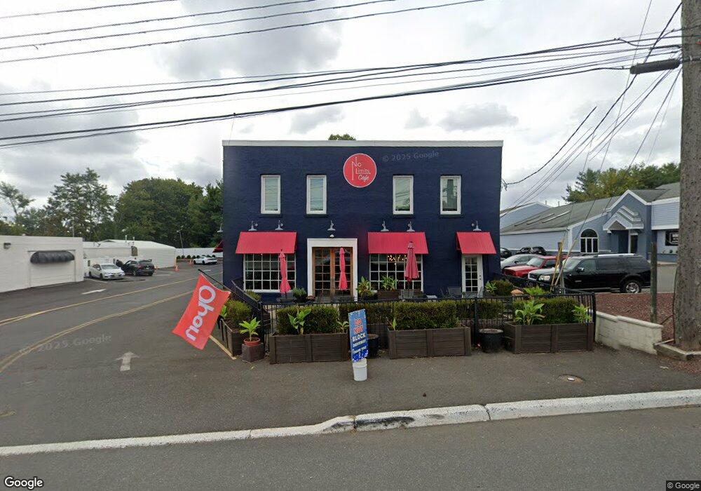
418 State Route 35 Red Bank, NJ 07701
New Monmouth NeighborhoodEstimated Value: $1,146,112
--
Bed
--
Bath
3,896
Sq Ft
$294/Sq Ft
Est. Value
About This Home
This home is located at 418 State Route 35, Red Bank, NJ 07701 and is currently estimated at $1,146,112, approximately $294 per square foot. 418 State Route 35 is a home located in Monmouth County with nearby schools including River Plaza Elementary School, Thompson Middle School, and Middletown - South High School.
Ownership History
Date
Name
Owned For
Owner Type
Purchase Details
Closed on
Jun 11, 2018
Sold by
Frangella Maria and Sabatino Donald
Bought by
Kll Enterprises Llc
Current Estimated Value
Purchase Details
Closed on
Oct 3, 2007
Sold by
Ciaglia Anthony
Bought by
Frangella Maria and Cicillini Maria
Home Financials for this Owner
Home Financials are based on the most recent Mortgage that was taken out on this home.
Original Mortgage
$425,000
Interest Rate
6.49%
Mortgage Type
Commercial
Create a Home Valuation Report for This Property
The Home Valuation Report is an in-depth analysis detailing your home's value as well as a comparison with similar homes in the area
Home Values in the Area
Average Home Value in this Area
Purchase History
| Date | Buyer | Sale Price | Title Company |
|---|---|---|---|
| Kll Enterprises Llc | $550,000 | None Available | |
| Frangella Maria | $700,000 | Old Republic Title |
Source: Public Records
Mortgage History
| Date | Status | Borrower | Loan Amount |
|---|---|---|---|
| Previous Owner | Frangella Maria | $425,000 |
Source: Public Records
Tax History Compared to Growth
Tax History
| Year | Tax Paid | Tax Assessment Tax Assessment Total Assessment is a certain percentage of the fair market value that is determined by local assessors to be the total taxable value of land and additions on the property. | Land | Improvement |
|---|---|---|---|---|
| 2025 | $9,584 | $593,700 | $358,100 | $235,600 |
| 2024 | $9,860 | $582,600 | $351,900 | $230,700 |
| 2023 | $9,860 | $567,300 | $339,600 | $227,700 |
| 2022 | $10,402 | $521,000 | $308,700 | $212,300 |
| 2021 | $10,402 | $500,100 | $308,700 | $191,400 |
| 2020 | $11,729 | $548,600 | $308,700 | $239,900 |
| 2019 | $11,616 | $550,000 | $308,700 | $241,300 |
| 2018 | $13,474 | $621,800 | $343,000 | $278,800 |
| 2017 | $13,611 | $621,800 | $343,000 | $278,800 |
| 2016 | $13,251 | $621,800 | $343,000 | $278,800 |
| 2015 | $13,723 | $621,800 | $343,000 | $278,800 |
| 2014 | $14,071 | $621,800 | $343,000 | $278,800 |
Source: Public Records
Map
Nearby Homes
- 9 Wesleyan St
- 508 Abby Rd Unit 508
- 31 Southall Ln
- 139 Statesir Place
- 46 Southall Ln
- 152 Chapel Hill Rd
- 78 Crestview Dr
- 44 Monroe St
- 833 Lincoln St
- 4 Breana Ct
- 238 Martin Place
- 37 Delaware Ave
- 35 Fairview Dr
- 3504 James Ct Unit 159
- 839 Arthur Dr
- 39 Market St
- 19 Statesir Place
- 43 Roosevelt Cir W
- 115 Hill Terrace
- 0 Hamiltonian Dr Unit 22514980
- 414 State Route 35
- 417 State Route 35
- 410 State Route 35
- 406 Hwy 35 Unit 2
- 406 Hwy 35
- 39 Brighton Ave
- 406 State Route 35
- 10 Harvard St
- 12 Harvard St
- 5 Walnut Ave
- 14 Harvard St
- 7 Walnut Ave
- 42 Brighton Ave
- 391 State Route 35
- 11 Walnut Ave
- 3 Exeter St
- 22 Harvard St
- 15 Harvard St
- 389 State Route 35
- 30 Brighton Ave