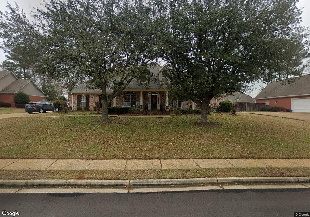
418 Thorngate Dr Brandon, MS 39042
Estimated Value: $422,000 - $432,365
4
Beds
4
Baths
3,723
Sq Ft
$115/Sq Ft
Est. Value
About This Home
This home is located at 418 Thorngate Dr, Brandon, MS 39042 and is currently estimated at $427,591, approximately $114 per square foot. 418 Thorngate Dr is a home located in Rankin County with nearby schools including Rouse Elementary School, Brandon Elementary School, and Stonebridge Elementary School.
Ownership History
Date
Name
Owned For
Owner Type
Purchase Details
Closed on
Nov 2, 2018
Sold by
Spears Lisa C
Bought by
Stegall Roger L and Stegall Holly N
Current Estimated Value
Home Financials for this Owner
Home Financials are based on the most recent Mortgage that was taken out on this home.
Original Mortgage
$294,975
Outstanding Balance
$253,954
Interest Rate
4.7%
Mortgage Type
New Conventional
Estimated Equity
$173,637
Purchase Details
Closed on
Jun 24, 2015
Sold by
Miller Michaell W
Bought by
Spears Lisa Carol and Miller Lisa
Create a Home Valuation Report for This Property
The Home Valuation Report is an in-depth analysis detailing your home's value as well as a comparison with similar homes in the area
Home Values in the Area
Average Home Value in this Area
Purchase History
We collect this data history from publicly available records. To have your information removed, we recommend requesting removal directly through your county’s website.
| Date | Buyer | Sale Price | Title Company |
|---|---|---|---|
| Stegall Roger L | -- | -- | |
| Spears Lisa Carol | -- | None Available |
Source: Public Records
Mortgage History
We collect this data history from publicly available records. To have your information removed, we recommend requesting removal directly through your county’s website.
| Date | Status | Borrower | Loan Amount |
|---|---|---|---|
| Open | Stegall Roger L | $294,975 |
Source: Public Records
Tax History
| Year | Tax Paid | Tax Assessment Tax Assessment Total Assessment is a certain percentage of the fair market value that is determined by local assessors to be the total taxable value of land and additions on the property. | Land | Improvement |
|---|---|---|---|---|
| 2025 | $4,197 | $33,975 | $0 | $0 |
| 2024 | $4,134 | $33,975 | $0 | $0 |
| 2023 | $3,973 | $32,741 | $0 | $0 |
| 2022 | $3,924 | $32,741 | $0 | $0 |
| 2021 | $3,924 | $32,741 | $0 | $0 |
| 2020 | $3,924 | $32,741 | $0 | $0 |
| 2019 | $3,761 | $30,814 | $0 | $0 |
| 2018 | $3,699 | $30,814 | $0 | $0 |
| 2017 | $3,699 | $30,814 | $0 | $0 |
| 2016 | $3,316 | $29,936 | $0 | $0 |
| 2015 | $3,316 | $29,936 | $0 | $0 |
| 2014 | $3,252 | $29,936 | $0 | $0 |
| 2013 | -- | $29,936 | $0 | $0 |
Source: Public Records
Map
Nearby Homes
- 407 Thorngate Dr
- 2004 Walden Place
- 60 Eastgate Dr
- 122 Pavilion Dr
- 602 Treeline Dr
- 434 Pecan Cir
- 402 Treeline Dr
- 1113 Orchardview Cove
- 0 Thorngate Dr
- 300 Peachtree St
- 1101 Orchardview Cove
- 505 Stuart Crossing
- 219 Garden Dr
- 217 Pecan Cir
- 0001 Old Highway 471
- 0 Mississippi 471 Unit 4129332
- 0 Mississippi 471 Unit 4120443
- 0 Mississippi 471 Unit 4147424
- 23 Dawnview Dr
- 234 Terrace Dr
- 420 Thorngate Dr
- 116 Overlook Dr
- 416 Thorngate Dr
- 118 Overlook Dr
- 411 Thorngate Dr
- 114 Overlook Dr
- 120 Overlook Dr
- 206 Keystone Place
- 422 Thorngate Dr
- 112 Overlook Dr
- 122 Overlook Dr
- 414 Thorngate Dr
- 409 Thorngate Dr
- 109 Overlook Dr
- 204 Keystone Place
- 107 Overlook Dr
- 110 Overlook Dr
- 111 Overlook Dr
- 105 Overlook Dr
- 412 Thorngate Dr
Your Personal Tour Guide
Ask me questions while you tour the home.