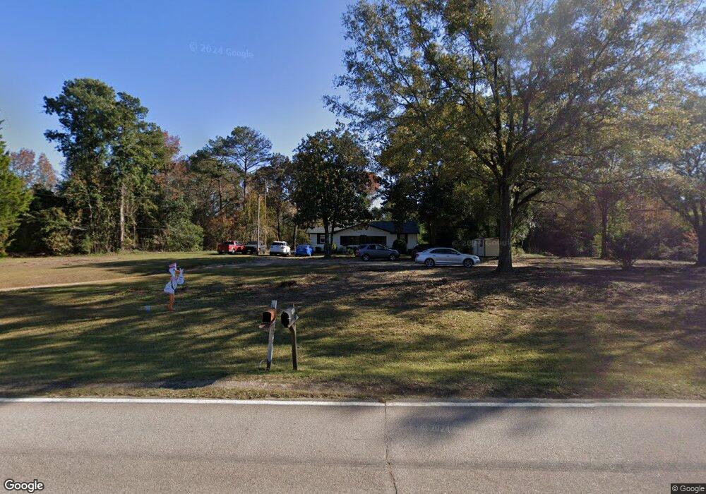
4181 Bartley Rd West Point, GA 31833
Estimated Value: $191,000 - $371,000
3
Beds
2
Baths
2,280
Sq Ft
$120/Sq Ft
Est. Value
About This Home
This home is located at 4181 Bartley Rd, West Point, GA 31833 and is currently estimated at $273,475, approximately $119 per square foot. 4181 Bartley Rd is a home located in Troup County with nearby schools including West Point Elementary School, Long Cane Elementary School, and Whitesville Road Elementary School.
Ownership History
Date
Name
Owned For
Owner Type
Purchase Details
Closed on
Dec 20, 2021
Sold by
Murphy John W
Bought by
Tucker Amber Allyse
Current Estimated Value
Purchase Details
Closed on
Aug 13, 1993
Sold by
John W Murphy
Bought by
Murphy John W and Murphy Betty R
Purchase Details
Closed on
Aug 19, 1988
Bought by
John W Murphy
Purchase Details
Closed on
Jan 1, 1960
Purchase Details
Closed on
Jan 1, 1955
Create a Home Valuation Report for This Property
The Home Valuation Report is an in-depth analysis detailing your home's value as well as a comparison with similar homes in the area
Home Values in the Area
Average Home Value in this Area
Purchase History
| Date | Buyer | Sale Price | Title Company |
|---|---|---|---|
| Tucker Amber Allyse | -- | -- | |
| Murphy John W | -- | -- | |
| John W Murphy | $45,500 | -- | |
| -- | -- | -- | |
| -- | -- | -- |
Source: Public Records
Tax History Compared to Growth
Tax History
| Year | Tax Paid | Tax Assessment Tax Assessment Total Assessment is a certain percentage of the fair market value that is determined by local assessors to be the total taxable value of land and additions on the property. | Land | Improvement |
|---|---|---|---|---|
| 2024 | $1,581 | $57,960 | $10,200 | $47,760 |
| 2023 | $1,535 | $56,280 | $10,200 | $46,080 |
| 2022 | $1,466 | $52,520 | $10,200 | $42,320 |
| 2021 | $1,494 | $49,520 | $10,120 | $39,400 |
| 2020 | $1,494 | $49,520 | $10,120 | $39,400 |
| 2019 | $1,221 | $40,492 | $6,932 | $33,560 |
| 2018 | $0 | $37,452 | $6,932 | $30,520 |
| 2017 | $1,130 | $37,452 | $6,932 | $30,520 |
| 2016 | $0 | $33,147 | $6,932 | $26,215 |
| 2015 | -- | $33,147 | $6,932 | $26,215 |
| 2014 | -- | $31,767 | $6,932 | $24,835 |
| 2013 | -- | $33,223 | $6,932 | $26,291 |
Source: Public Records
Map
Nearby Homes
- 4172 Bartley Rd
- 333 Shoemaker Rd
- 648 Warner Rd
- 208 Harris Walk Unit 80
- 0 Johns Rd Unit 10615130
- 0 Sandtown Rd Unit 10255987
- Sandtown Road Unit: 1 2+ - Acre
- 797 Gabbettville Rd
- 311 Tomme Rd
- 0 Lambert Rd
- 345 Robert Taylor Rd
- 202 Reed Rd
- 111 Tudor Way
- 0 Cannonville Rd
- 143 W Drummond Rd
- 151 W Drummond Rd
- 157 W Drummond Rd
- 137 W Drummond Rd
- 131 W Drummond Rd
- 0 Robert Hayes Rd Unit 10611067
- 4131 Bartley Rd
- 116 Amhurst Dr
- 114 Amhurst Dr
- 108 Amhurst Dr
- 118 Amhurst Dr
- 112 Amhurst Dr
- 110 Amhurst Dr
- 120 Amhurst Dr
- 106 Amhurst Dr
- 122 Amhurst Dr
- 124 Amhurst Dr
- 124 Amhurst Dr Unit 59
- 109 Amhurst Dr Unit LOT 7
- 109 Amhurst Dr
- 126 Amhurst Dr
- 128 Amhurst Dr
- 107 Amhurst Dr
- 115 Amhurst Dr
- 113 Amhurst Dr
- 113 Amhurst Dr Unit LOT 9