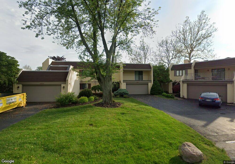
4182 E Mooresdock Rd Port Clinton, OH 43452
Estimated Value: $866,000 - $1,032,215
4
Beds
3
Baths
3,368
Sq Ft
$279/Sq Ft
Est. Value
About This Home
This home is located at 4182 E Mooresdock Rd, Port Clinton, OH 43452 and is currently estimated at $938,554, approximately $278 per square foot. 4182 E Mooresdock Rd is a home located in Ottawa County with nearby schools including Bataan Memorial Primary School, Bataan Memorial Intermediate School, and Port Clinton Middle School.
Ownership History
Date
Name
Owned For
Owner Type
Purchase Details
Closed on
Jul 6, 2021
Sold by
Robert J Tomsich Trust
Bought by
Robert J Tomsich Non-Gst Exempt Marital Trust
Current Estimated Value
Purchase Details
Closed on
Oct 19, 1993
Sold by
Graham Jean C
Bought by
Tomsich Robert J
Purchase Details
Closed on
Jul 10, 1992
Sold by
Graham Elmer
Bought by
Graham Jean C
Create a Home Valuation Report for This Property
The Home Valuation Report is an in-depth analysis detailing your home's value as well as a comparison with similar homes in the area
Home Values in the Area
Average Home Value in this Area
Purchase History
| Date | Buyer | Sale Price | Title Company |
|---|---|---|---|
| Robert J Tomsich Non-Gst Exempt Marital Trust | -- | Baker & Hosteler Llp | |
| Tomsich Robert J | $400,000 | -- | |
| Graham Jean C | -- | -- |
Source: Public Records
Tax History Compared to Growth
Tax History
| Year | Tax Paid | Tax Assessment Tax Assessment Total Assessment is a certain percentage of the fair market value that is determined by local assessors to be the total taxable value of land and additions on the property. | Land | Improvement |
|---|---|---|---|---|
| 2024 | $9,518 | $293,587 | $78,750 | $214,837 |
| 2023 | $9,518 | $210,074 | $78,750 | $131,324 |
| 2022 | $7,483 | $210,074 | $78,750 | $131,324 |
| 2021 | $7,472 | $210,070 | $78,750 | $131,320 |
| 2020 | $7,097 | $191,940 | $63,000 | $128,940 |
| 2019 | $7,026 | $191,940 | $63,000 | $128,940 |
| 2018 | $7,014 | $191,940 | $63,000 | $128,940 |
| 2017 | $7,039 | $189,840 | $63,000 | $126,840 |
| 2016 | $7,056 | $189,840 | $63,000 | $126,840 |
| 2015 | $7,084 | $189,840 | $63,000 | $126,840 |
| 2014 | $3,050 | $167,270 | $63,000 | $104,270 |
| 2013 | $6,119 | $167,270 | $63,000 | $104,270 |
Source: Public Records
Map
Nearby Homes
- 3305 N Stonehouse Dr Unit 7
- 3425 N Karwood Dr
- 4434 E Harbors Edge Dr Unit 25
- 3737 N Karwood Dr
- 2950 N Bluff Ridge Dr
- 4520 E Harbors Edge Dr Unit 61
- 3778 N Cliff Rd
- 4866 Westwinds Dr
- 3983 Coachmans Trail
- 4862 Tradewinds Dr
- 2855 N Canterbury Cir Unit A
- 2901 Villa Ct Unit C
- 4376 E Cliff Rd
- 2769 Canterbury Cir
- 2750 Canterbury Cir Unit C
- 2769 N Canterbury Cir Unit B
- 4446 Marin Harbor Unit G
- 4446 Marin Harbor Rd
- 4520 E Cliff Rd
- 4446 E Marin Harbor
- 4184 E Mooresdock Rd
- 4180 E Moores Dock Rd
- 4180 E Mooresdock Rd Unit D13
- 4190 E Mooresdock Rd
- 4188 E Mooresdock Rd Unit D25
- 4188 E Moores Dock Rd
- 4192 E Mooresdock Rd Unit D23
- 4192 E Moores Dock Rd
- 4194 E Mooresdock Rd
- 3300 Stonehouse(unit C-5)
- 3292 N Stonehouse Dr
- 3294 N Stonehouse Dr Unit C2
- 3296 N Stonehouse Dr
- 4196 E Mooresdock Rd
- 3298 N Stonehouse Dr
- 3300 N Stonehouse Dr Unit C5
- 3306 N Stonehouse Dr
- 3302 N Stonehouse Dr Unit C6
- 3304 N Stonehouse Dr
- 4173 E Mooresdock Rd