Estimated Value: $286,079 - $321,000
3
Beds
2
Baths
1,268
Sq Ft
$238/Sq Ft
Est. Value
About This Home
This home is located at 4183 Rolling Creek Dr, Vale, NC 28168 and is currently estimated at $301,770, approximately $237 per square foot. 4183 Rolling Creek Dr is a home located in Lincoln County with nearby schools including Union Elementary School, West Lincoln Middle, and West Lincoln High School.
Ownership History
Date
Name
Owned For
Owner Type
Purchase Details
Closed on
Mar 4, 2022
Sold by
Hunter Rhyne Family
Bought by
Trader Katie Lineberger F
Current Estimated Value
Purchase Details
Closed on
Nov 18, 2011
Sold by
Carolina Choice Properties Inc
Bought by
Mccraw Shaina
Home Financials for this Owner
Home Financials are based on the most recent Mortgage that was taken out on this home.
Original Mortgage
$129,750
Interest Rate
4.02%
Mortgage Type
New Conventional
Create a Home Valuation Report for This Property
The Home Valuation Report is an in-depth analysis detailing your home's value as well as a comparison with similar homes in the area
Home Values in the Area
Average Home Value in this Area
Purchase History
| Date | Buyer | Sale Price | Title Company |
|---|---|---|---|
| Trader Katie Lineberger F | $390 | None Listed On Document | |
| Mccraw Shaina | $128,000 | None Available |
Source: Public Records
Mortgage History
| Date | Status | Borrower | Loan Amount |
|---|---|---|---|
| Previous Owner | Mccraw Shaina | $129,750 |
Source: Public Records
Tax History
| Year | Tax Paid | Tax Assessment Tax Assessment Total Assessment is a certain percentage of the fair market value that is determined by local assessors to be the total taxable value of land and additions on the property. | Land | Improvement |
|---|---|---|---|---|
| 2025 | $1,748 | $257,726 | $23,000 | $234,726 |
| 2024 | $1,728 | $257,726 | $23,000 | $234,726 |
| 2023 | $1,728 | $257,726 | $23,000 | $234,726 |
| 2022 | $1,211 | $147,278 | $20,000 | $127,278 |
| 2021 | $1,211 | $147,278 | $20,000 | $127,278 |
| 2020 | $1,066 | $147,278 | $20,000 | $127,278 |
| 2019 | $1,066 | $147,278 | $20,000 | $127,278 |
| 2018 | $1,038 | $127,259 | $18,500 | $108,759 |
| 2017 | $937 | $127,259 | $18,500 | $108,759 |
| 2016 | $892 | $127,259 | $18,500 | $108,759 |
| 2015 | $960 | $127,259 | $18,500 | $108,759 |
| 2014 | $91 | $13,500 | $13,500 | $0 |
Source: Public Records
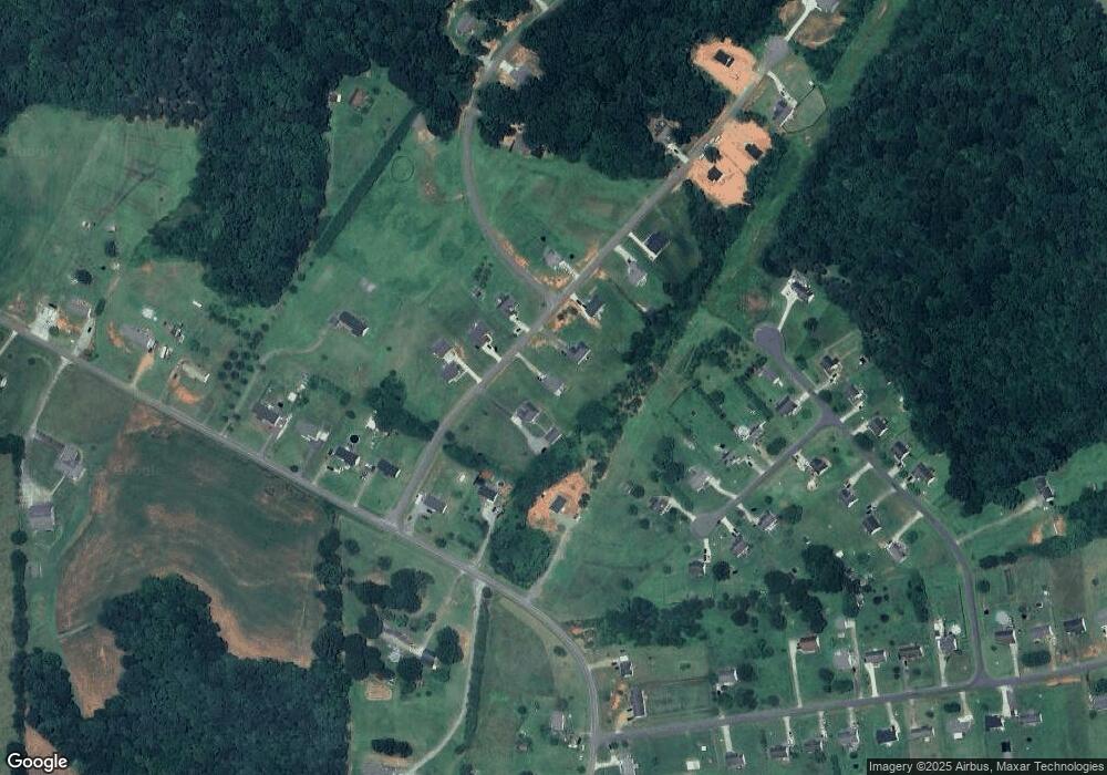
Map
Nearby Homes
- 1310 Western Hills Ln
- 000 Flag Ln Unit 53
- 3817 Spike Ln
- 1983 Seagletown Rd
- 1217 Daniels Rd
- 2482 June Bug Rd
- 1855 Jetton Dr
- 1784 Union Heights Ct
- 142 Alf Hoover Rd
- 110 Alf Hoover Rd
- 2572 Rock Dam Rd
- 00 Killian Rd
- 2064 Colorado Ct
- 2486 Rock Dam Rd
- 00 Wilson Ct Unit 12
- 00 Wilson Ct Unit 13
- 00 Wilson Ct Unit 15
- 3987 W Highway 27
- 2062 Vineyard Estates Ln
- 3243 Wilson Ct Unit 11
- 4185 Rolling Creek Dr
- 4181 Rolling Creek Dr
- Lot 48 Flag Ln
- 047 Western Hills Ln
- 049 Western Hills Ln
- 039 Western Hills Ln
- 045 Western Hills Ln
- 4173 Rolling Creek Dr
- 4184 Rolling Creek Dr Unit 35
- 4182 Rolling Creek Dr
- 4161 Rolling Creek Dr
- 048 Western Hills Ln
- 038 Western Hills Ln
- 040 Western Hills Ln
- 046 Western Hills Ln
- 00 Western Hills Ln
- 42 Western Hills Ln
- 4174 Rolling Creek Dr
- 4186 Rolling Creek Dr
- 4165 Rolling Creek Dr
Your Personal Tour Guide
Ask me questions while you tour the home.