4184 W 500 N Fillmore, UT 84631
Estimated Value: $261,000 - $393,000
--
Bed
--
Bath
--
Sq Ft
1
Acres
About This Home
This home is located at 4184 W 500 N, Fillmore, UT 84631 and is currently estimated at $322,758. 4184 W 500 N is a home.
Ownership History
Date
Name
Owned For
Owner Type
Purchase Details
Closed on
Feb 1, 2024
Sold by
Remkes David M and Remkes Holly S
Bought by
Holly Remkes Living Trust and Remkes
Current Estimated Value
Purchase Details
Closed on
Jun 8, 2005
Sold by
Remkes Holly S
Bought by
Remkes David M and Remkes Holly S
Home Financials for this Owner
Home Financials are based on the most recent Mortgage that was taken out on this home.
Original Mortgage
$79,500
Interest Rate
5.65%
Mortgage Type
New Conventional
Create a Home Valuation Report for This Property
The Home Valuation Report is an in-depth analysis detailing your home's value as well as a comparison with similar homes in the area
Home Values in the Area
Average Home Value in this Area
Purchase History
| Date | Buyer | Sale Price | Title Company |
|---|---|---|---|
| Holly Remkes Living Trust | -- | None Listed On Document | |
| Remkes David M | -- | First American Title Insuran | |
| Remkes Holly S | -- | First American Title Insuran |
Source: Public Records
Mortgage History
| Date | Status | Borrower | Loan Amount |
|---|---|---|---|
| Previous Owner | Remkes Holly S | $79,500 |
Source: Public Records
Tax History Compared to Growth
Tax History
| Year | Tax Paid | Tax Assessment Tax Assessment Total Assessment is a certain percentage of the fair market value that is determined by local assessors to be the total taxable value of land and additions on the property. | Land | Improvement |
|---|---|---|---|---|
| 2024 | $1,095 | $138,030 | $13,750 | $124,280 |
| 2023 | $1,095 | $138,030 | $13,750 | $124,280 |
| 2022 | $837 | $80,127 | $13,750 | $66,377 |
| 2021 | $703 | $65,016 | $12,100 | $52,916 |
| 2020 | $681 | $63,800 | $12,100 | $51,700 |
| 2019 | $624 | $58,887 | $12,100 | $46,787 |
| 2018 | $608 | $58,887 | $12,100 | $46,787 |
| 2017 | $601 | $55,587 | $8,800 | $46,787 |
| 2016 | $573 | $55,587 | $8,800 | $46,787 |
| 2015 | $532 | $51,580 | $8,800 | $42,780 |
| 2014 | -- | $51,580 | $8,800 | $42,780 |
| 2013 | -- | $51,580 | $8,800 | $42,780 |
Source: Public Records
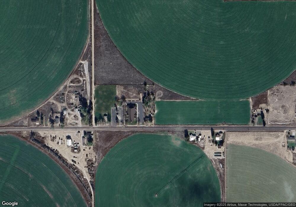
Map
Nearby Homes
- 7500 N 3900 Rd W
- 2000 N West Frontage I-15
- 3700 W 5800 N
- 561 N 150 E Unit 10
- 1615 W Sunflower Ln Unit 4
- 1565 W Sunflower Ln Unit 3
- 1765 W Sunflower Ln Unit 7
- 410 W 400 N
- 1100 S 725 Rd W
- 335 W 400 North St
- 2600 S 400 Rd W
- 225 W 200 St N
- 380 N 200 St W
- 625 N 100 St E Unit 20
- 390 N 100 W
- 190 W 400 St S
- 60 W 100 N
- 2155 N Cedar Mountain Rd
- 2835 N Cedar Mountain Rd
- 2505 N Cedar Mountain Rd