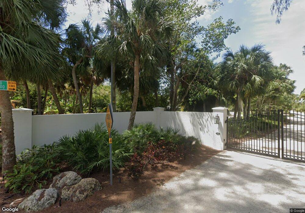
4185 Shell Rd Sarasota, FL 34242
Estimated Value: $4,061,000 - $5,031,000
6
Beds
7
Baths
7,866
Sq Ft
$583/Sq Ft
Est. Value
About This Home
This home is located at 4185 Shell Rd, Sarasota, FL 34242 and is currently estimated at $4,589,655, approximately $583 per square foot. 4185 Shell Rd is a home located in Sarasota County with nearby schools including Phillippi Shores Elementary School, Brookside Middle School, and Sarasota High School.
Ownership History
Date
Name
Owned For
Owner Type
Purchase Details
Closed on
Jun 26, 2025
Sold by
Mcswain Ronald H and Mcswain Phyllis A
Bought by
4185 Shell Road Llc
Current Estimated Value
Purchase Details
Closed on
Apr 6, 2001
Sold by
Lee James M
Bought by
Mcswain Ronald H and Mcswain Phyllis A
Home Financials for this Owner
Home Financials are based on the most recent Mortgage that was taken out on this home.
Original Mortgage
$1,600,000
Interest Rate
7.11%
Create a Home Valuation Report for This Property
The Home Valuation Report is an in-depth analysis detailing your home's value as well as a comparison with similar homes in the area
Home Values in the Area
Average Home Value in this Area
Purchase History
| Date | Buyer | Sale Price | Title Company |
|---|---|---|---|
| 4185 Shell Road Llc | $4,400,000 | None Listed On Document | |
| Mcswain Ronald H | $2,800,000 | -- | |
| Mcswain Ronald H | $2,800,000 | -- |
Source: Public Records
Mortgage History
| Date | Status | Borrower | Loan Amount |
|---|---|---|---|
| Previous Owner | Mcswain Ronald H | $1,600,000 |
Source: Public Records
Tax History
| Year | Tax Paid | Tax Assessment Tax Assessment Total Assessment is a certain percentage of the fair market value that is determined by local assessors to be the total taxable value of land and additions on the property. | Land | Improvement |
|---|---|---|---|---|
| 2025 | $50,226 | $4,251,900 | $3,479,500 | $772,400 |
| 2024 | $48,227 | $4,079,721 | -- | -- |
| 2023 | $48,227 | $4,363,200 | $3,265,300 | $1,097,900 |
| 2022 | $45,113 | $4,095,900 | $3,254,200 | $841,700 |
| 2021 | $37,836 | $3,031,700 | $2,560,100 | $471,600 |
| 2020 | $39,767 | $3,120,300 | $2,656,500 | $463,800 |
| 2019 | $41,724 | $3,292,900 | $2,467,200 | $825,700 |
| 2018 | $44,828 | $3,536,200 | $2,653,000 | $883,200 |
| 2017 | $48,470 | $3,762,100 | $2,720,400 | $1,041,700 |
| 2016 | $50,107 | $3,922,300 | $2,585,500 | $1,336,800 |
| 2015 | $46,847 | $3,561,500 | $2,505,500 | $1,056,000 |
| 2014 | $37,367 | $2,587,400 | $0 | $0 |
Source: Public Records
Map
Nearby Homes
- 4205 Higel Ave
- 4105 Shell Rd
- 225 Little Pond Ln
- 4136 Roberts Point Cir
- 4129 Roberts Point Cir
- 0 Roberts Point Cir Unit LOT 17
- 0 Roberts Point Cir Unit LOT 19
- 4185 Roberts Point Lot 18 Cir
- 3954 Hamilton Club Cir Unit 14
- 4050 Higel Ave
- 4046 Higel Ave
- 4114 Roberts Point Cir
- 3941 Hamilton Club Cir Unit 9
- 3942 Hamilton Club Cir Unit 13
- 4117 Roberts Point Cir
- 4508 Woodside Rd
- 4315 Mangrove Place
- 4534 Banan Place
- 523 Reid St
- 445 Reid St
- 4200 Shell Rd
- 4073 Shell Rd
- 4125 Shell Rd
- 4109 Shell Rd
- 4189 Shell Rd
- 4183 Shell Rd
- 4163 Shell Rd
- 4173 Shell Rd
- 4137A Higel Ave
- 4226 Higel Ave
- 4195 Higel Ave
- 4165 Higel Ave
- 4215 Higel Ave
- 4242 Higel Ave
- 204 Cedar Park Cir
- 4153 Higel Ave
- 4137 & 415 Higel Ave
- 4225 Higel Ave
- 4137 Higel Ave
- 4266 Higel Ave
Your Personal Tour Guide
Ask me questions while you tour the home.