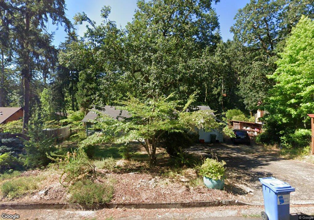
4186 Normandy Way Eugene, OR 97405
Crest Drive NeighborhoodEstimated Value: $454,000 - $527,000
3
Beds
2
Baths
1,407
Sq Ft
$342/Sq Ft
Est. Value
About This Home
This home is located at 4186 Normandy Way, Eugene, OR 97405 and is currently estimated at $480,568, approximately $341 per square foot. 4186 Normandy Way is a home located in Lane County with nearby schools including Edgewood Community Elementary School, Spencer Butte Middle School, and South Eugene High School.
Ownership History
Date
Name
Owned For
Owner Type
Purchase Details
Closed on
Jan 3, 2007
Sold by
Cheshire Carol J
Bought by
Dignan Jonathan and Dignan Stephanie S
Current Estimated Value
Home Financials for this Owner
Home Financials are based on the most recent Mortgage that was taken out on this home.
Original Mortgage
$35,550
Interest Rate
5.89%
Mortgage Type
Unknown
Purchase Details
Closed on
May 22, 2003
Sold by
Houghton Henry Robert
Bought by
Cheshire Carol J
Home Financials for this Owner
Home Financials are based on the most recent Mortgage that was taken out on this home.
Original Mortgage
$148,500
Interest Rate
6.12%
Mortgage Type
Purchase Money Mortgage
Create a Home Valuation Report for This Property
The Home Valuation Report is an in-depth analysis detailing your home's value as well as a comparison with similar homes in the area
Home Values in the Area
Average Home Value in this Area
Purchase History
We collect this data history from publicly available records. To have your information removed, we recommend requesting removal directly through your county’s website.
| Date | Buyer | Sale Price | Title Company |
|---|---|---|---|
| Dignan Jonathan | $237,000 | Cascade Title Co | |
| Cheshire Carol J | $165,000 | Western Pioneer Title Co |
Source: Public Records
Mortgage History
We collect this data history from publicly available records. To have your information removed, we recommend requesting removal directly through your county’s website.
| Date | Status | Borrower | Loan Amount |
|---|---|---|---|
| Closed | Dignan Jonathan | $35,550 | |
| Open | Dignan Jonathan | $189,600 | |
| Previous Owner | Cheshire Carol J | $148,500 |
Source: Public Records
Tax History
| Year | Tax Paid | Tax Assessment Tax Assessment Total Assessment is a certain percentage of the fair market value that is determined by local assessors to be the total taxable value of land and additions on the property. | Land | Improvement |
|---|---|---|---|---|
| 2025 | $4,720 | $242,254 | -- | -- |
| 2024 | $4,661 | $235,199 | -- | -- |
| 2023 | $4,661 | $228,349 | $0 | $0 |
| 2022 | $4,367 | $221,699 | $0 | $0 |
| 2021 | $4,102 | $215,242 | $0 | $0 |
| 2020 | $4,116 | $208,973 | $0 | $0 |
| 2019 | $3,975 | $202,887 | $0 | $0 |
| 2018 | $3,742 | $191,241 | $0 | $0 |
| 2017 | $3,561 | $191,241 | $0 | $0 |
| 2016 | $3,419 | $185,671 | $0 | $0 |
| 2015 | $3,320 | $180,263 | $0 | $0 |
| 2014 | $3,267 | $175,013 | $0 | $0 |
Source: Public Records
Map
Nearby Homes
- 4032 Normandy Way
- 0 Pine View Ct Unit 758820410
- 3982 Monroe St
- 0 Rockridge Loop Unit 13
- 784 Brookside Dr
- 217 Rockridge Loop
- 160 Westbrook Way
- 806 Sundance St
- 150 Westbrook Way
- 278 Rockridge Ct
- 392 Dellwood Dr
- 3872 Monroe St
- 320 Dellwood Dr
- 79 Rockridge Dr
- 453 Dellwood Dr
- 357 W 37th Ave
- 645 Startouch Dr
- 152 Treehill Loop Unit 152
- 151 Treehill Loop Unit 151
- 149 Treehill Loop Unit 149
- 4170 Normandy Way
- 4190 Brae Burn Dr
- 4175 Normandy Way
- 4197 Normandy Way
- 4158 Normandy Way
- 1268 Brookside Dr
- 1226 Brookside Dr
- 4210 Brae Burn Dr
- 4157 Normandy Way
- 1212 Brookside Dr
- 4160 Brae Burn Dr
- 4130 Brae Burn Dr
- 4183 Brae Burn Dr
- 4135 Normandy Way
- 4146 Normandy Way
- 4171 Brae Burn Dr
- 1192 Brookside Dr
- 4207 Brae Burn Dr
- 4165 Brae Burn Dr
- 4123 Normandy Way
Your Personal Tour Guide
Ask me questions while you tour the home.