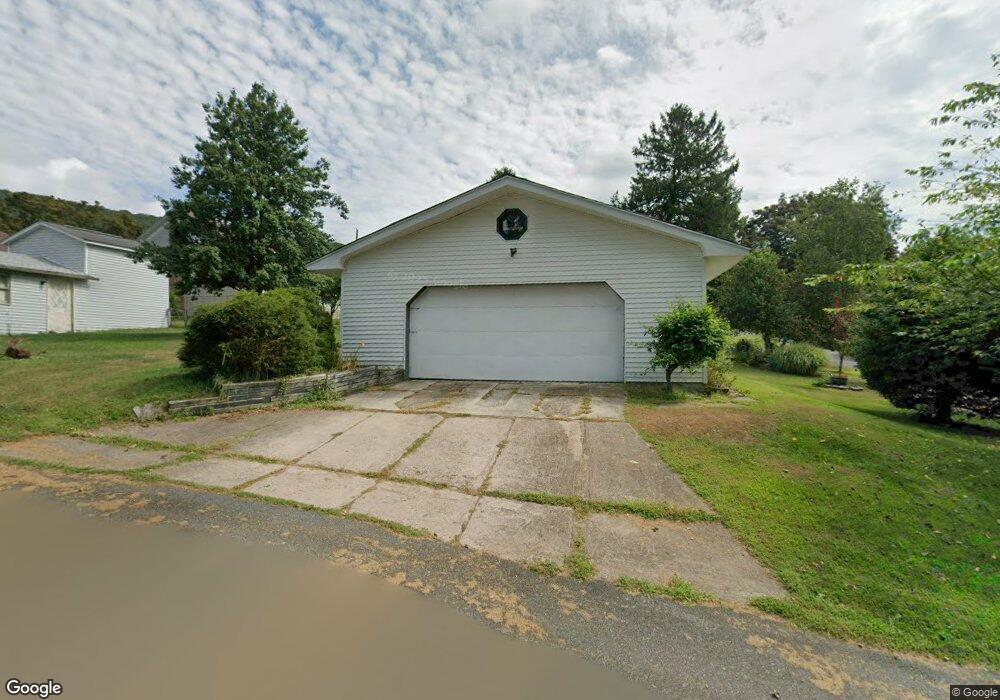
419 Catherine St Ashland, PA 17921
Estimated Value: $116,296 - $202,000
3
Beds
2
Baths
1,300
Sq Ft
$117/Sq Ft
Est. Value
About This Home
This home is located at 419 Catherine St, Ashland, PA 17921 and is currently estimated at $151,824, approximately $116 per square foot. 419 Catherine St is a home located in Schuylkill County with nearby schools including North Schuylkill Elementary School and North Schuylkill Junior/Senior High School.
Ownership History
Date
Name
Owned For
Owner Type
Purchase Details
Closed on
Nov 23, 2009
Sold by
Westwood Maureen and Laubach Mary Ellen
Bought by
Joyce Patrick J and Joyce Kathleen J
Current Estimated Value
Home Financials for this Owner
Home Financials are based on the most recent Mortgage that was taken out on this home.
Original Mortgage
$57,000
Outstanding Balance
$16,861
Interest Rate
4.92%
Mortgage Type
New Conventional
Estimated Equity
$134,963
Create a Home Valuation Report for This Property
The Home Valuation Report is an in-depth analysis detailing your home's value as well as a comparison with similar homes in the area
Home Values in the Area
Average Home Value in this Area
Purchase History
| Date | Buyer | Sale Price | Title Company |
|---|---|---|---|
| Joyce Patrick J | $80,000 | None Available |
Source: Public Records
Mortgage History
| Date | Status | Borrower | Loan Amount |
|---|---|---|---|
| Open | Joyce Patrick J | $57,000 |
Source: Public Records
Tax History Compared to Growth
Tax History
| Year | Tax Paid | Tax Assessment Tax Assessment Total Assessment is a certain percentage of the fair market value that is determined by local assessors to be the total taxable value of land and additions on the property. | Land | Improvement |
|---|---|---|---|---|
| 2025 | $2,198 | $28,290 | $3,330 | $24,960 |
| 2024 | $2,059 | $28,290 | $3,330 | $24,960 |
| 2023 | $2,059 | $28,290 | $3,330 | $24,960 |
| 2022 | $2,013 | $28,290 | $3,330 | $24,960 |
| 2021 | $1,988 | $28,290 | $3,330 | $24,960 |
| 2020 | $1,951 | $28,290 | $3,330 | $24,960 |
| 2018 | $1,884 | $28,290 | $3,330 | $24,960 |
| 2017 | $1,836 | $28,290 | $3,330 | $24,960 |
| 2015 | -- | $28,290 | $3,330 | $24,960 |
| 2011 | -- | $28,290 | $0 | $0 |
Source: Public Records
Map
Nearby Homes
- Cambridge Plan at Country Club Estates
- New Yorker Plan at Country Club Estates
- Juniper Plan at Country Club Estates
- Stafford Plan at Country Club Estates
- Iowa Plan at Country Club Estates
- 0 Dutchtown Rd
- 630 S Hoffman Blvd
- 132 Turnpike Rd
- 356 Oakland Ave
- 107 W Centre St
- 401 Walnut St
- 330 Centre St
- 730 Brock St
- 230 Chestnut St
- 8 N Hoffman Blvd
- 426 Centre St
- 235 Chestnut St
- 924 Brock St
- 923 Brock St
- 1004 Brock St
- 415 Catherine St
- 301 George St
- 409 Catherine St
- 424 Catherine St
- 401 Catherine St
- 412 Catherine St
- 406 Broad St
- 412 Broad St
- 406 Catherine St
- 411 Carrie St
- 404 Catherine St
- 402 Catherine St
- 329 331 Catherine
- 508 Catherine St
- 409 Broad St
- 326 Broad St
- 410 Carrie St
- 323 Catherine St
- 307 Fountain St
- 419 Broad St