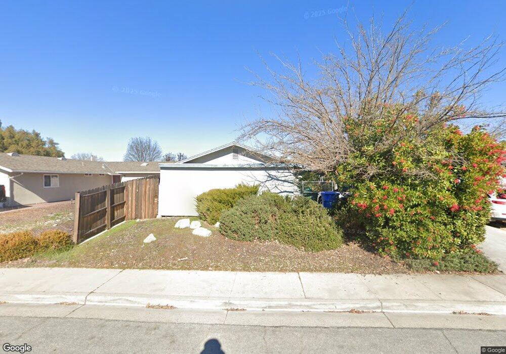
419 Cedarwood Dr Paso Robles, CA 93446
Estimated Value: $476,537 - $531,000
About This Home
This home is located at 419 Cedarwood Dr, Paso Robles, CA 93446 and is currently estimated at $516,384, approximately $430 per square foot. 419 Cedarwood Dr is a home located in San Luis Obispo County with nearby schools including Virginia Peterson Elementary School, Daniel Lewis Middle School, and Paso Robles High School.
Ownership History
We collect this data history from publicly available records. To have your information removed, we recommend requesting removal directly through your county’s website.
Purchase Details
Home Financials for this Owner
Home Financials are based on the most recent Mortgage that was taken out on this home.Purchase History
We collect this data history from publicly available records. To have your information removed, we recommend requesting removal directly through your county’s website.
| Date | Buyer | Sale Price | Title Company |
|---|---|---|---|
| $105,000 | Cuesta Title Company |
Mortgage History
We collect this data history from publicly available records. To have your information removed, we recommend requesting removal directly through your county’s website.
| Date | Status | Borrower | Loan Amount |
|---|---|---|---|
| Open | $102,659 |
Tax History
We collect this data history from publicly available records. To have your information removed, we recommend requesting removal directly through your county’s website.
| Year | Tax Paid | Tax Assessment Tax Assessment Total Assessment is a certain percentage of the fair market value that is determined by local assessors to be the total taxable value of land and additions on the property. | Land | Improvement |
|---|---|---|---|---|
| 2025 | $1,899 | $174,223 | $66,429 | $107,794 |
| 2024 | $1,868 | $170,808 | $65,127 | $105,681 |
| 2023 | $1,868 | $167,459 | $63,850 | $103,609 |
| 2022 | $1,840 | $164,177 | $62,599 | $101,578 |
| 2021 | $1,809 | $160,959 | $61,372 | $99,587 |
| 2020 | $1,706 | $159,309 | $60,743 | $98,566 |
| 2019 | $1,680 | $156,186 | $59,552 | $96,634 |
| 2018 | $1,656 | $153,125 | $58,385 | $94,740 |
| 2017 | $1,555 | $150,124 | $57,241 | $92,883 |
| 2016 | $1,523 | $147,181 | $56,119 | $91,062 |
| 2015 | $1,517 | $144,972 | $55,277 | $89,695 |
| 2014 | $1,462 | $142,133 | $54,195 | $87,938 |
Map
- 517 Queenanne Rd
- 1740 Westfield Rd
- 1934 Tulipwood Dr
- 618 Queenanne Rd
- 1429 Stoney Creek Rd
- 309 Camino Lobo
- 1945 Fieldstone Cir
- 2306 Latigo Ct
- 503 Turtle Creek Rd
- 204 Nighthawk Dr
- 902 Larable Ct
- 908 Larable Ct
- 805 Turtle Creek Rd
- 12 Green Ct
- 924 Riata Ct
- 2488 Starling Dr
- 149 Flag Way
- 5185 Airport Rd
- 214 Santa Cruz Ave
- 18 Flag Way
- 1825 Driftwood Dr
- 1819 Driftwood Dr
- 1827 Driftwood Dr
- 1813 Driftwood Dr
- 1844 Cottonwood Cir
- 1848 Cottonwood Cir
- 395 Cedarwood Dr
- 1824 Driftwood Dr
- 1826 Driftwood Dr
- 1809 Driftwood Dr
- 417 Cedarwood Dr
- 1850 Cottonwood Cir
- 1838 Cottonwood Cir
- 1811 Driftwood Dr
- 1807 Driftwood Dr
- 1822 Driftwood Ct
- 1836 Cottonwood Cir
- 370 Scott St
- 421 Cedarwood Dr
- 414 Cedarwood Dr
Ask me questions while you tour the home.