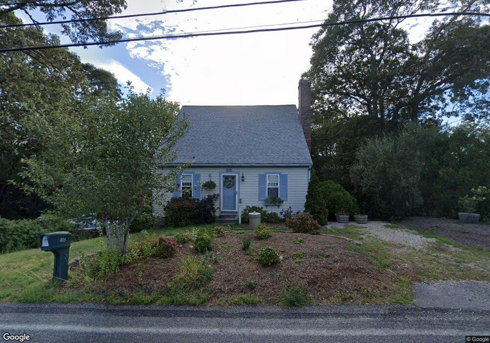
419 Depot St Dennis Port, MA 02639
Dennis Port NeighborhoodEstimated Value: $510,000 - $671,000
3
Beds
2
Baths
1,201
Sq Ft
$494/Sq Ft
Est. Value
About This Home
This home is located at 419 Depot St, Dennis Port, MA 02639 and is currently estimated at $593,636, approximately $494 per square foot. 419 Depot St is a home located in Barnstable County with nearby schools including Dennis-Yarmouth Regional High School and St. Pius X. School.
Ownership History
Date
Name
Owned For
Owner Type
Purchase Details
Closed on
Apr 12, 2002
Sold by
Broidrickret Eleanor C and Broidrick Eleanor C
Bought by
Levangie Steven F and Levangie Lynne F
Current Estimated Value
Home Financials for this Owner
Home Financials are based on the most recent Mortgage that was taken out on this home.
Original Mortgage
$215,942
Interest Rate
6.84%
Mortgage Type
Purchase Money Mortgage
Create a Home Valuation Report for This Property
The Home Valuation Report is an in-depth analysis detailing your home's value as well as a comparison with similar homes in the area
Home Values in the Area
Average Home Value in this Area
Purchase History
| Date | Buyer | Sale Price | Title Company |
|---|---|---|---|
| Levangie Steven F | $235,000 | -- |
Source: Public Records
Mortgage History
| Date | Status | Borrower | Loan Amount |
|---|---|---|---|
| Open | Levangie Steven F | $215,800 | |
| Closed | Levangie Steven F | $215,942 |
Source: Public Records
Tax History Compared to Growth
Tax History
| Year | Tax Paid | Tax Assessment Tax Assessment Total Assessment is a certain percentage of the fair market value that is determined by local assessors to be the total taxable value of land and additions on the property. | Land | Improvement |
|---|---|---|---|---|
| 2025 | $2,208 | $510,000 | $137,800 | $372,200 |
| 2024 | $2,139 | $487,200 | $132,500 | $354,700 |
| 2023 | $2,069 | $443,000 | $120,500 | $322,500 |
| 2022 | $1,963 | $350,600 | $108,500 | $242,100 |
| 2021 | $1,798 | $298,200 | $106,400 | $191,800 |
| 2020 | $1,702 | $279,000 | $95,800 | $183,200 |
| 2019 | $1,600 | $259,300 | $93,900 | $165,400 |
| 2018 | $4,101 | $247,600 | $89,400 | $158,200 |
| 2017 | $1,523 | $247,600 | $89,400 | $158,200 |
| 2016 | $1,510 | $231,200 | $99,300 | $131,900 |
| 2015 | $1,480 | $231,200 | $99,300 | $131,900 |
| 2014 | $1,315 | $207,100 | $79,400 | $127,700 |
Source: Public Records
Map
Nearby Homes
- 11 Lane Rd
- 537 Depot St
- 91 Depot Rd W
- 24 Indian Trail
- 78 Upper County Rd Unit A&B
- 78 Upper County Rd
- 9 Country Ln
- 47 Telegraph Rd Unit 1
- 141 Division St
- 141 Division St
- 360 Center St
- 171 Searsville Rd
- 116 Searsville Rd
- 20 Aunt Debbys Rd
- 12 Candlewood Ln Unit 2-9
- 12 Candlewood Ln Unit 1-6
- 10 Candlewood Ln Unit 2-1
- 9 Bells Neck Rd Unit 10
- 45 Route 28
- 9 Mansion St