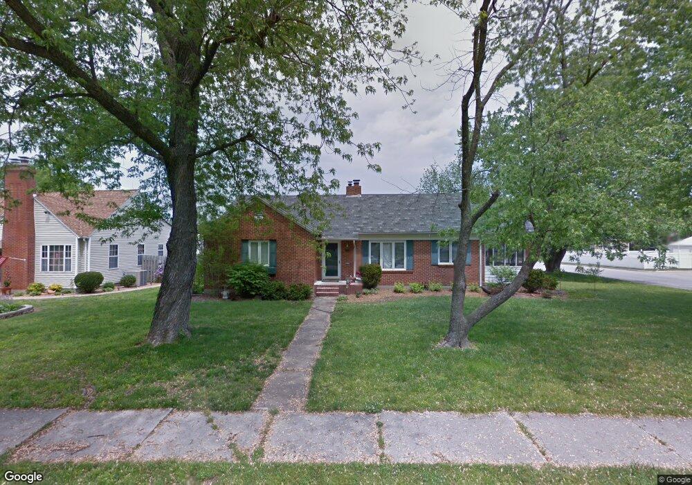
419 Euclid Blvd Carthage, MO 64836
Estimated Value: $305,000 - $335,000
--
Bed
3
Baths
2,354
Sq Ft
$134/Sq Ft
Est. Value
About This Home
This home is located at 419 Euclid Blvd, Carthage, MO 64836 and is currently estimated at $316,448, approximately $134 per square foot. 419 Euclid Blvd is a home located in Jasper County with nearby schools including Carthage High School, St. Ann's Catholic School, and Victory Academy.
Ownership History
Date
Name
Owned For
Owner Type
Purchase Details
Closed on
Aug 21, 2009
Sold by
Thomas Michael C and Thomas Tara L
Bought by
Baucom Justin N and Baucom Kelsey J
Current Estimated Value
Home Financials for this Owner
Home Financials are based on the most recent Mortgage that was taken out on this home.
Original Mortgage
$105,000
Outstanding Balance
$68,146
Interest Rate
5.2%
Mortgage Type
New Conventional
Estimated Equity
$248,302
Create a Home Valuation Report for This Property
The Home Valuation Report is an in-depth analysis detailing your home's value as well as a comparison with similar homes in the area
Home Values in the Area
Average Home Value in this Area
Purchase History
| Date | Buyer | Sale Price | Title Company |
|---|---|---|---|
| Baucom Justin N | -- | Barrister Title Services Llc |
Source: Public Records
Mortgage History
| Date | Status | Borrower | Loan Amount |
|---|---|---|---|
| Open | Baucom Justin N | $105,000 |
Source: Public Records
Tax History Compared to Growth
Tax History
| Year | Tax Paid | Tax Assessment Tax Assessment Total Assessment is a certain percentage of the fair market value that is determined by local assessors to be the total taxable value of land and additions on the property. | Land | Improvement |
|---|---|---|---|---|
| 2025 | $1,856 | $40,130 | $4,280 | $35,850 |
| 2024 | $1,856 | $36,050 | $4,280 | $31,770 |
| 2023 | $1,856 | $36,050 | $4,280 | $31,770 |
| 2022 | $1,820 | $35,470 | $4,280 | $31,190 |
| 2021 | $1,800 | $35,470 | $4,280 | $31,190 |
| 2020 | $1,600 | $30,220 | $4,280 | $25,940 |
| 2019 | $1,603 | $30,220 | $4,280 | $25,940 |
| 2018 | $1,568 | $29,630 | $0 | $0 |
| 2017 | $1,572 | $29,630 | $0 | $0 |
| 2016 | $1,536 | $29,050 | $0 | $0 |
| 2015 | $1,256 | $29,050 | $0 | $0 |
| 2014 | $1,256 | $25,700 | $0 | $0 |
Source: Public Records
Map
Nearby Homes
- 1529 S Grand Ave
- 1610 S Main St
- 702 E Centennial Ave
- 1421 Grand Ave
- 1513 S Main St
- 421 E 14th St
- 2816 S Maple St
- 1335 S Main St
- 824 Euclid Blvd
- 1830 S Maple St
- 1221 Clinton St
- 839 Euclid Blvd
- 1515 S Garrison Ave
- 1743 S River St
- 1204 Grand Ave
- 1211 James St
- 1910 Wynwood Dr
- 504 Cooper St
- 509 W Highland Ave
- 1922 Southwood Ln
- 415 Euclid Blvd
- 501 Euclid Blvd
- Tract 4 Clinton St
- 24xx Clinton St
- 409 Euclid Blvd
- 1605 Clinton St
- 505 Euclid Blvd
- 403 Euclid Blvd
- 410 E Centennial Ave
- 1610 Clinton St
- 420 Euclid Blvd
- 416 Euclid Blvd
- 402 E Centennial Ave
- 509 Euclid Blvd
- 321 Euclid Blvd
- 412 Euclid Blvd
- 502 Euclid Blvd
- 502 E Centennial Ave
- 324 E Centennial Ave
- 508 Euclid Blvd