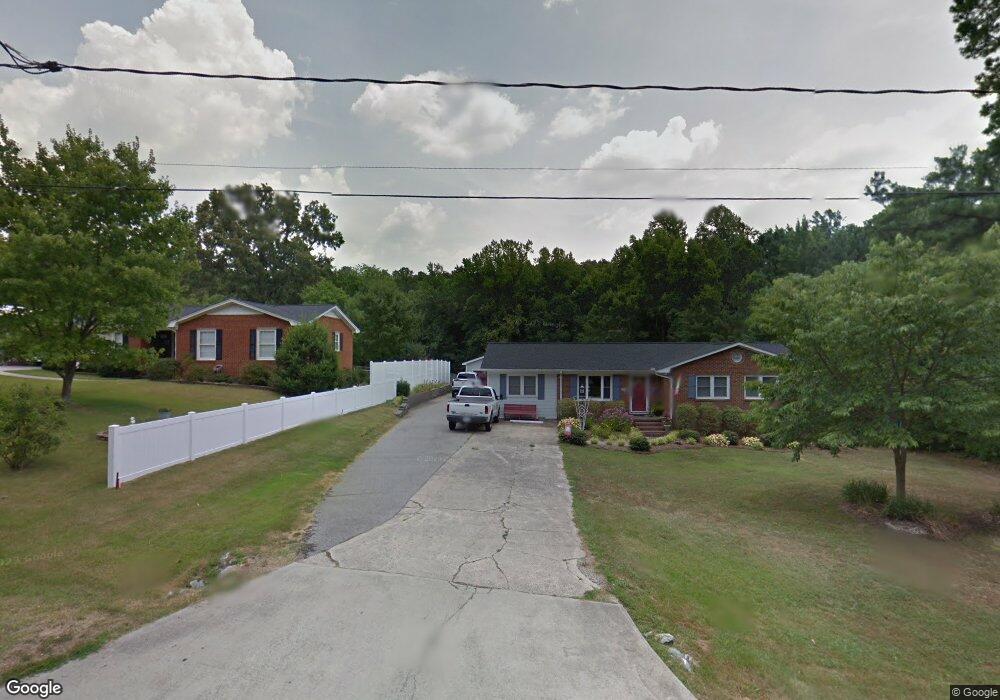
419 Gus Rd Durham, NC 27703
Eastern Durham NeighborhoodEstimated Value: $337,968 - $343,000
3
Beds
2
Baths
1,540
Sq Ft
$221/Sq Ft
Est. Value
About This Home
This home is located at 419 Gus Rd, Durham, NC 27703 and is currently estimated at $339,992, approximately $220 per square foot. 419 Gus Rd is a home located in Durham County with nearby schools including Oak Grove Elementary, John W Neal Middle School, and Southern School of Energy & Sustainability.
Ownership History
Date
Name
Owned For
Owner Type
Purchase Details
Closed on
Jul 9, 2002
Sold by
Spinks James O and Spinks Sherri N
Bought by
Clark Buck A and Clark Kimberly A
Current Estimated Value
Home Financials for this Owner
Home Financials are based on the most recent Mortgage that was taken out on this home.
Original Mortgage
$142,500
Outstanding Balance
$60,580
Interest Rate
6.75%
Estimated Equity
$279,412
Create a Home Valuation Report for This Property
The Home Valuation Report is an in-depth analysis detailing your home's value as well as a comparison with similar homes in the area
Home Values in the Area
Average Home Value in this Area
Purchase History
| Date | Buyer | Sale Price | Title Company |
|---|---|---|---|
| Clark Buck A | $150,000 | -- |
Source: Public Records
Mortgage History
| Date | Status | Borrower | Loan Amount |
|---|---|---|---|
| Open | Clark Buck A | $142,500 |
Source: Public Records
Tax History
| Year | Tax Paid | Tax Assessment Tax Assessment Total Assessment is a certain percentage of the fair market value that is determined by local assessors to be the total taxable value of land and additions on the property. | Land | Improvement |
|---|---|---|---|---|
| 2025 | $2,374 | $314,029 | $121,800 | $192,229 |
| 2024 | $1,134 | $168,111 | $41,925 | $126,186 |
| 2023 | $1,806 | $168,111 | $41,925 | $126,186 |
| 2022 | $1,735 | $168,111 | $41,925 | $126,186 |
| 2021 | $1,474 | $168,111 | $41,925 | $126,186 |
| 2020 | $1,441 | $168,111 | $41,925 | $126,186 |
| 2019 | $1,424 | $168,111 | $41,925 | $126,186 |
| 2018 | $1,328 | $143,904 | $29,347 | $114,557 |
| 2017 | $1,285 | $143,904 | $29,347 | $114,557 |
| 2016 | $1,245 | $143,904 | $29,347 | $114,557 |
| 2015 | $1,438 | $140,760 | $30,974 | $109,786 |
| 2014 | -- | $140,760 | $30,974 | $109,786 |
Source: Public Records
Map
Nearby Homes
- 442 Gus Rd
- 528 Plumleaf Ln
- 517 Keith St
- 17 Plumleaf Ln
- 13 Blackthorn Ln
- 1112 Blackthorn Ln
- 601 Crossing Dr
- 807 Outlaw Ave
- 1114 Blackthorn Ln
- 2800-2809 Napoli Dr
- 819 Ember Dr
- 208 Lick Creek Ln
- 621 Wellwater Ave
- 5002 Wake Forest Hwy
- 428 Holly Blossom Dr
- 2208 Gilman St
- 6 Spicewood Ct
- 615 Southshore Pkwy
- 108 Putters Ct
- 607 Ravenstone Ln
Your Personal Tour Guide
Ask me questions while you tour the home.