419 John Pate Rd Lewisport, KY 42351
Estimated Value: $150,000
3
Beds
3
Baths
2,576
Sq Ft
$58/Sq Ft
Est. Value
About This Home
This home is located at 419 John Pate Rd, Lewisport, KY 42351 and is currently estimated at $150,000, approximately $58 per square foot. 419 John Pate Rd is a home located in Hancock County with nearby schools including Hancock County Middle School and Hancock County High School.
Ownership History
Date
Name
Owned For
Owner Type
Purchase Details
Closed on
Mar 1, 1968
Bought by
Young Brooks and Young Helen
Current Estimated Value
Create a Home Valuation Report for This Property
The Home Valuation Report is an in-depth analysis detailing your home's value as well as a comparison with similar homes in the area
Home Values in the Area
Average Home Value in this Area
Purchase History
| Date | Buyer | Sale Price | Title Company |
|---|---|---|---|
| Young Brooks | -- | -- |
Source: Public Records
Tax History Compared to Growth
Tax History
| Year | Tax Paid | Tax Assessment Tax Assessment Total Assessment is a certain percentage of the fair market value that is determined by local assessors to be the total taxable value of land and additions on the property. | Land | Improvement |
|---|---|---|---|---|
| 2024 | $298 | $28,700 | $0 | $0 |
| 2023 | $302 | $28,700 | $0 | $0 |
| 2017 | $0 | $163,000 | $14,200 | $148,800 |
| 2015 | -- | $163,000 | $14,200 | $148,800 |
| 2014 | -- | $177,500 | $14,200 | $163,300 |
| 2012 | -- | $153,000 | $14,200 | $138,800 |
Source: Public Records
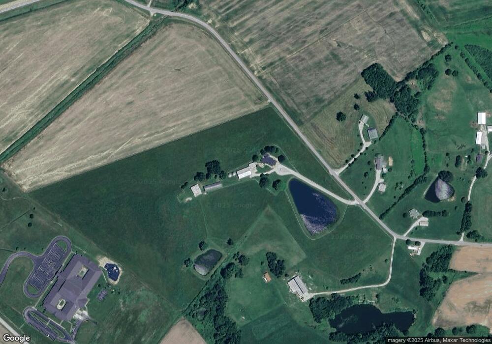
Map
Nearby Homes
- 50 Lee Henderson Rd
- Lot 3 Abigail Ln
- Lot 4 Abigail Ln
- 375 Hillcrest Cir
- 270 Windsong Dr
- 406 Bluegrass Dr
- 120 Mockingbird Ln
- Lot 1 Hwy 271
- 3973 State Route 657
- Lot 2 Hwy 271
- 25 Market St
- 2652 U S 60
- 490 High St
- 3655 State Route 271 S
- 9585 River Rd
- Lot 1 Ridgetop Ln
- Lot 2 Ridgetop Ln
- 175 Sands Dr
- 1410 Washington Ave
- 1445 Meadowlane Dr
- 420 John Pate Rd
- 460 John Pate Rd
- 5805 Us Highway 60 W
- 558 John Pate Rd
- 5745 Us Highway 60 W
- 710 Frank Lutrell Rd
- 0 Frank Luttrell Rd
- 5685 Us Highway 60 W
- 5905 Us Highway 60 W
- 5815 Us Highway 60 W
- 155 Henderson Grove Rd
- 5655 Us Highway 60 W
- 5655 Us Highway 60 W
- 255 Henderson Grove Rd
- 255 Henderson Grove Rd
- 686 John Pate Rd
- 910 John Pate Rd
- 5589 Us Highway 60 W
- 290 Henderson Grove Rd
- 249 Henderson Grove Rd