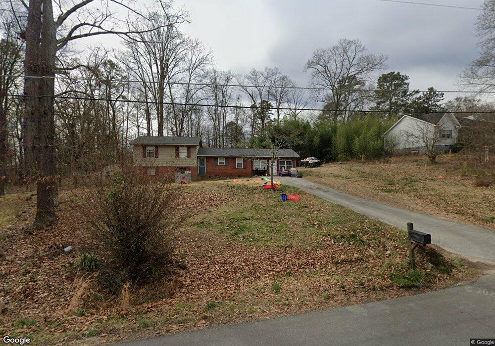
419 Langston Dr NE Calhoun, GA 30701
Estimated Value: $254,656 - $323,000
6
Beds
3
Baths
1,822
Sq Ft
$154/Sq Ft
Est. Value
About This Home
This home is located at 419 Langston Dr NE, Calhoun, GA 30701 and is currently estimated at $280,414, approximately $153 per square foot. 419 Langston Dr NE is a home located in Gordon County with nearby schools including Tolbert Elementary School, Ashworth Middle School, and Gordon Central High School.
Ownership History
Date
Name
Owned For
Owner Type
Purchase Details
Closed on
Jun 30, 2010
Sold by
Offutt Mary Audrey
Bought by
Pickard Vicki L
Current Estimated Value
Home Financials for this Owner
Home Financials are based on the most recent Mortgage that was taken out on this home.
Original Mortgage
$43,908
Outstanding Balance
$29,221
Interest Rate
4.75%
Mortgage Type
FHA
Estimated Equity
$251,193
Purchase Details
Closed on
Oct 30, 2007
Sold by
Wilson Julie Ann
Bought by
Offutt Mary Audrey
Purchase Details
Closed on
Apr 4, 2006
Sold by
Offutt Mary Audrey
Bought by
Wilson Julie Ann
Create a Home Valuation Report for This Property
The Home Valuation Report is an in-depth analysis detailing your home's value as well as a comparison with similar homes in the area
Home Values in the Area
Average Home Value in this Area
Purchase History
| Date | Buyer | Sale Price | Title Company |
|---|---|---|---|
| Pickard Vicki L | $44,500 | -- | |
| Offutt Mary Audrey | -- | -- | |
| Wilson Julie Ann | -- | -- |
Source: Public Records
Mortgage History
| Date | Status | Borrower | Loan Amount |
|---|---|---|---|
| Open | Pickard Vicki L | $43,908 |
Source: Public Records
Tax History Compared to Growth
Tax History
| Year | Tax Paid | Tax Assessment Tax Assessment Total Assessment is a certain percentage of the fair market value that is determined by local assessors to be the total taxable value of land and additions on the property. | Land | Improvement |
|---|---|---|---|---|
| 2024 | $1,483 | $58,364 | $3,360 | $55,004 |
| 2023 | $1,383 | $54,448 | $3,360 | $51,088 |
| 2022 | $1,373 | $50,816 | $3,360 | $47,456 |
| 2021 | $1,170 | $41,748 | $3,360 | $38,388 |
| 2020 | $1,213 | $42,352 | $3,360 | $38,992 |
| 2019 | $1,220 | $42,360 | $3,360 | $39,000 |
| 2018 | $1,127 | $39,120 | $3,360 | $35,760 |
| 2017 | $1,091 | $36,800 | $3,360 | $33,440 |
| 2016 | $1,093 | $36,800 | $3,360 | $33,440 |
| 2015 | $1,079 | $36,000 | $3,360 | $32,640 |
| 2014 | $1,007 | $34,573 | $3,360 | $31,213 |
Source: Public Records
Map
Nearby Homes
- 307 Craigtown Rd NE
- 128 Craigtown Rd NE
- 996 Chatsworth Highway 225 NE
- 205 Laurel Dr NE
- 211 Birch Ln
- 308 Heritage Dr
- 453 Chatsworth Highway 225 NE
- 121 Sunset Dr NE
- Brexley Manor Townhomes Floor Plan at Brexley Manor - Townhomes
- 403 S Sequoyah Cir NE
- 624 Newtown Creek Loop NE
- 198 Iracille Ln NE
- 228 Woodland Cir NW
- 138 Landon Ct NE
- 130 Red Oak Ln
- 133 Red Oak Ln
- 0 Newtown Rd NE Unit 7019675
- 111 Nike Dr
- 399 Langston Dr NE
- 145 N Sequoyah Cir NE
- 439 Langston Dr NE
- 157 N Sequoyah Cir NE
- 137 N Sequoyah Cir NE
- 420 Langston Dr NE
- 404 Langston Dr NE
- 430 Langston Dr NE
- 385 Langston Dr NE
- 392 Langston Dr NE
- 171 N Sequoyah Cir NE
- 274 Craigtown Rd NE
- 123 N Sequoyah Cir NE
- 290 Craigtown Rd NE
- 377 Langston Dr NE
- 380 Langston Dr NE
- 124 N Sequoyah Cir NE
- 460 Langston Dr NE
- 183 N Sequoyah Cir NE
- 446 N Sequoyah Cir NE