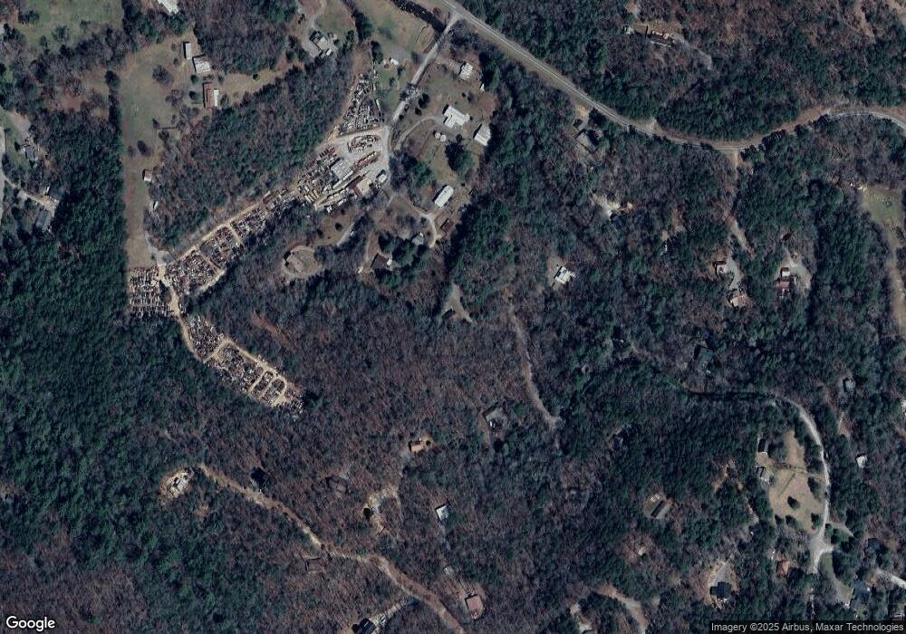
419 Laurel Dr Blue Ridge, GA 30513
Estimated Value: $530,020 - $763,000
3
Beds
2
Baths
1,012
Sq Ft
$593/Sq Ft
Est. Value
About This Home
This home is located at 419 Laurel Dr, Blue Ridge, GA 30513 and is currently estimated at $599,755, approximately $592 per square foot. 419 Laurel Dr is a home located in Fannin County with nearby schools including Fannin County High School.
Ownership History
Date
Name
Owned For
Owner Type
Purchase Details
Closed on
Nov 17, 2021
Sold by
Dangar Greg A
Bought by
Abarca Adrian and Rubalcava Avelina
Current Estimated Value
Purchase Details
Closed on
Dec 14, 2010
Sold by
Kontzamanys George
Bought by
Dangar Greg A
Purchase Details
Closed on
Feb 20, 2004
Sold by
Bronsted Andrew
Bought by
Kontzamanys George and Kontzamanys Tracey
Purchase Details
Closed on
May 16, 2003
Sold by
Cook Wayne
Bought by
Bronsted Andrew
Purchase Details
Closed on
Sep 15, 1998
Sold by
Sisson C J
Bought by
Cook Wayne
Purchase Details
Closed on
Jan 29, 1998
Sold by
Sisson C J
Bought by
Cook Wayne
Purchase Details
Closed on
Jan 20, 1998
Sold by
First Bank Of Polk C
Bought by
Sisson C J
Purchase Details
Closed on
Jul 23, 1991
Bought by
Lloyd James O
Create a Home Valuation Report for This Property
The Home Valuation Report is an in-depth analysis detailing your home's value as well as a comparison with similar homes in the area
Home Values in the Area
Average Home Value in this Area
Purchase History
| Date | Buyer | Sale Price | Title Company |
|---|---|---|---|
| Abarca Adrian | $440,000 | -- | |
| Dangar Greg A | $145,000 | -- | |
| Kontzamanys George | $138,800 | -- | |
| Bronsted Andrew | $23,000 | -- | |
| Cook Wayne | $2,700 | -- | |
| Cook Wayne | $5,000 | -- | |
| Sisson C J | -- | -- | |
| Lloyd James O | $45,000 | -- |
Source: Public Records
Tax History Compared to Growth
Tax History
| Year | Tax Paid | Tax Assessment Tax Assessment Total Assessment is a certain percentage of the fair market value that is determined by local assessors to be the total taxable value of land and additions on the property. | Land | Improvement |
|---|---|---|---|---|
| 2024 | $1,267 | $138,226 | $17,073 | $121,153 |
| 2023 | $1,072 | $105,183 | $9,426 | $95,757 |
| 2022 | $1,084 | $106,370 | $9,426 | $96,944 |
| 2021 | $742 | $52,906 | $9,426 | $43,480 |
| 2020 | $754 | $52,906 | $9,426 | $43,480 |
| 2019 | $769 | $52,906 | $9,426 | $43,480 |
| 2018 | $782 | $50,773 | $7,293 | $43,480 |
| 2017 | $956 | $54,019 | $9,563 | $44,456 |
| 2016 | $819 | $48,213 | $9,563 | $38,650 |
| 2015 | $837 | $47,174 | $7,430 | $39,744 |
| 2014 | $920 | $52,166 | $7,430 | $44,736 |
| 2013 | -- | $42,374 | $7,430 | $34,944 |
Source: Public Records
Map
Nearby Homes
- 150 Laurel Trace
- 9 Quail Hollow
- 78 Brass Hill Rd Unit 146
- 78 Brass Hill Rd
- 30 Laurel Branch
- 249 Sugar Mountain Rd
- 201 Plantation Ln
- 458 Sugar Mountain Rd
- 825 Price Rd
- 31 Highland Hammock Dr
- 620 Price Rd
- 384 Mountain Highlands Ct
- 659 Piney Acres Rd
- 134 Cohutta Overlook Trail
- LOT 1 High Knee Rd
- 114 Price Ln
- 114 Price Cir
- 237 Chestnut Gap Rd
- 411 Piney Acres Rd
- 344 Cascade Ln
- 419 Laurel Dr
- 0 Laurel Dr Unit 107741
- 0 Laurel Dr Unit 7422363
- 0 Laurel Dr
- 322 Laurel Dr
- 138 Salvage Ln
- 171 Salvage Ln
- 0 Hemlock Cir Unit 3208555
- 0 Hemlock Cir
- 291 Laurel Dr Unit 63
- 291 Laurel Dr
- 52 Hemlock
- 134 Hemlock Cir
- 113 Salvage Ln
- 58 Jacobs Ridge
- 1444 Chestnut Gap Rd
- 134 Salvage Ln
- 0 Salvage Rd Unit 8757792
- 0 Salvage Rd Unit 8331750
- 0 Salvage Rd Unit 8285081
