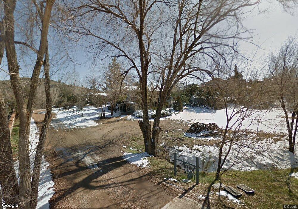
419 Lori Ln Prescott, AZ 86301
Estimated Value: $339,000 - $485,000
Studio
--
Bath
1,573
Sq Ft
$270/Sq Ft
Est. Value
About This Home
This home is located at 419 Lori Ln, Prescott, AZ 86301 and is currently estimated at $424,001, approximately $269 per square foot. 419 Lori Ln is a home located in Yavapai County with nearby schools including Taylor Hicks School, Granite Mountain Middle School, and Prescott Mile High Middle School.
Ownership History
Date
Name
Owned For
Owner Type
Purchase Details
Closed on
Jun 19, 2025
Sold by
Wealth Industries Llc
Bought by
Danielle And Malania Sutton Trust
Current Estimated Value
Purchase Details
Closed on
Aug 5, 2016
Sold by
Magnum Financial Llc
Bought by
Wealth Industries Llc
Purchase Details
Closed on
Nov 13, 2015
Sold by
Osborne Melvin R
Bought by
Magnum Financial Llc
Purchase Details
Closed on
Oct 21, 2015
Sold by
Osborne Patricia A and Osborne Melvin R
Bought by
Osborne Melvin R and Osborne Patricia A
Purchase Details
Closed on
Nov 17, 2003
Sold by
Hayes Howard F and Hayes Phyllis A
Bought by
Osborne Melvin R and Osborne Patricia A
Home Financials for this Owner
Home Financials are based on the most recent Mortgage that was taken out on this home.
Original Mortgage
$158,712
Interest Rate
6%
Mortgage Type
VA
Create a Home Valuation Report for This Property
The Home Valuation Report is an in-depth analysis detailing your home's value as well as a comparison with similar homes in the area
Purchase History
| Date | Buyer | Sale Price | Title Company |
|---|---|---|---|
| Danielle And Malania Sutton Trust | -- | None Listed On Document | |
| Wealth Industries Llc | -- | None Available | |
| Magnum Financial Llc | $150,000 | Pioneer Title Agency Kierlan | |
| Osborne Melvin R | -- | Pioneer Title Agency Kierlan | |
| Osborne Melvin R | $155,600 | Capital Title Agency |
Source: Public Records
Mortgage History
| Date | Status | Borrower | Loan Amount |
|---|---|---|---|
| Previous Owner | Osborne Melvin R | $158,712 |
Source: Public Records
Tax History
| Year | Tax Paid | Tax Assessment Tax Assessment Total Assessment is a certain percentage of the fair market value that is determined by local assessors to be the total taxable value of land and additions on the property. | Land | Improvement |
|---|---|---|---|---|
| 2026 | $1,303 | $36,909 | -- | -- |
| 2024 | $1,276 | $38,963 | -- | -- |
| 2023 | $1,276 | $31,746 | $0 | $0 |
| 2022 | $1,251 | $25,413 | $9,947 | $15,466 |
| 2021 | $1,304 | $25,695 | $9,956 | $15,739 |
| 2020 | $1,306 | $0 | $0 | $0 |
| 2019 | $1,290 | $0 | $0 | $0 |
| 2018 | $1,244 | $0 | $0 | $0 |
| 2017 | $1,187 | $0 | $0 | $0 |
| 2016 | $1,194 | $0 | $0 | $0 |
| 2015 | $975 | $0 | $0 | $0 |
| 2014 | $975 | $0 | $0 | $0 |
Source: Public Records
Map
Nearby Homes
- 418 Ironwood Ct
- 439 Foxfire Ln
- 2800 Willow Creek Rd
- 2630 Tabosa Dr
- 2835 Harvard Dr Unit IV
- 2842 Ithaca Dr
- 401 Valley Place
- 2855 Harvard Dr
- 2636 College Heights Rd
- 514 Osprey Trail
- 3069 Tetons Ct Unit 9d
- 2311 Sandia Dr
- 2891 Horizon Hills Dr
- 2480 Ridge Rd
- 3160 Cascades Dr Unit 16H
- 3059 Smokey Rd Unit 21E
- 2250 Alta Vista Place
- 3100 Montana Dr
- 2220 Sandia Dr
- 2516 Willow Creek Rd
- 420 Lori Ln
- 424 Buckskin Rd
- 425 Lori Ln
- 422 Buckskin Rd
- 410 Lori Ln
- 415 Lori Ln
- 428 Buckskin Rd
- 419 Buckskin Rd
- 423 Lantana Dr
- 421 Lantana Dr
- 2774 Joshua Tree Ln
- 2725 Ridge Rd
- 2715 Ridge Rd
- 2772 Joshua Tree Ln
- 2790 Frisco Peaks Dr
- 2767 Ridge Rd
- 2767 Ridge Rd
- 420 Ironwood Ct
- 2770 Joshua Tree Ln
- 425 Buckskin Rd
Your Personal Tour Guide
Ask me questions while you tour the home.