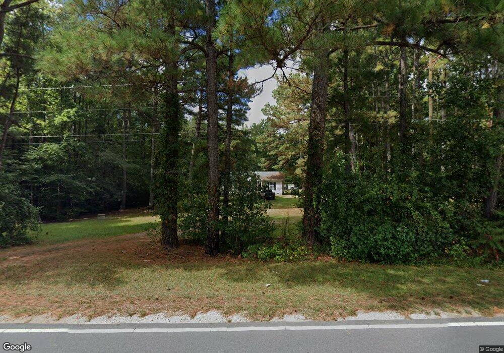
419 Moulton Rd Louisburg, NC 27549
Estimated Value: $181,000 - $236,000
3
Beds
2
Baths
1,254
Sq Ft
$173/Sq Ft
Est. Value
About This Home
This home is located at 419 Moulton Rd, Louisburg, NC 27549 and is currently estimated at $217,000, approximately $173 per square foot. 419 Moulton Rd is a home located in Franklin County with nearby schools including Louisburg Elementary School, Terrell Lane Middle School, and Louisburg High School.
Ownership History
Date
Name
Owned For
Owner Type
Purchase Details
Closed on
Mar 29, 2018
Sold by
Wynne Margaret Helen
Bought by
Clark Joshua
Current Estimated Value
Home Financials for this Owner
Home Financials are based on the most recent Mortgage that was taken out on this home.
Original Mortgage
$132,795
Outstanding Balance
$113,547
Interest Rate
4.38%
Mortgage Type
VA
Estimated Equity
$103,453
Purchase Details
Closed on
May 31, 1990
Bought by
Wynne Larry Carter
Create a Home Valuation Report for This Property
The Home Valuation Report is an in-depth analysis detailing your home's value as well as a comparison with similar homes in the area
Home Values in the Area
Average Home Value in this Area
Purchase History
| Date | Buyer | Sale Price | Title Company |
|---|---|---|---|
| Clark Joshua | $130,000 | None Available | |
| Wynne Larry Carter | $8,500 | -- |
Source: Public Records
Mortgage History
| Date | Status | Borrower | Loan Amount |
|---|---|---|---|
| Open | Clark Joshua | $132,795 |
Source: Public Records
Tax History Compared to Growth
Tax History
| Year | Tax Paid | Tax Assessment Tax Assessment Total Assessment is a certain percentage of the fair market value that is determined by local assessors to be the total taxable value of land and additions on the property. | Land | Improvement |
|---|---|---|---|---|
| 2025 | $1,260 | $190,870 | $42,140 | $148,730 |
| 2024 | $1,260 | $190,870 | $42,140 | $148,730 |
| 2023 | $1,110 | $113,280 | $20,630 | $92,650 |
| 2022 | $1,100 | $113,280 | $20,630 | $92,650 |
| 2021 | $1,111 | $113,280 | $20,630 | $92,650 |
| 2020 | $1,106 | $113,280 | $20,630 | $92,650 |
| 2019 | $1,093 | $113,280 | $20,630 | $92,650 |
| 2018 | $1,087 | $113,280 | $20,630 | $92,650 |
| 2017 | $587 | $109,160 | $17,190 | $91,970 |
| 2016 | $607 | $109,160 | $17,190 | $91,970 |
| 2015 | $604 | $109,160 | $17,190 | $91,970 |
| 2014 | $573 | $109,160 | $17,190 | $91,970 |
Source: Public Records
Map
Nearby Homes
- 0 Zinnia Ct Unit 10129898
- 376 T K Allen Rd
- 615 Woodland Trail
- 0 Beasley Rd Unit 10130664
- 109 Drew St
- 101 Briarwood Ct
- 7.69 Acres N Carolina 561
- 23.20 Acre N Carolina 561
- 10.26 Acre N Carolina 561
- 592 Perdues Rd
- 0-0 Halifax Rd
- 126 Person St
- 45 Leisure Ln
- 55 Leisure Ln
- 70 Leisure Ln
- 06 Tillery Dr
- 08 Tillery Dr
- 612 N Main St
- 604 N Main St
- 125 Davis St
- 396 Moulton Rd
- 414 Moulton Rd
- 394 Moulton Rd
- 428 Moulton Rd
- 460 Moulton Rd
- 352 Moulton Rd
- 352 Moulton Rd
- 307 Moulton Rd
- 346 Moulton Rd
- 495 Moulton Rd
- 21 Hayes Brothers Way
- 512 Moulton Rd
- 20 Hayes Brothers Way
- 535 Moulton Rd
- 545 Moulton Rd
- 536 Moulton Rd
- 536 Moulton Rd
- 207 Moulton Rd
- 0 Kneeto Dr Unit 1919184
- 0 Kneeto Dr Unit 2 1919184