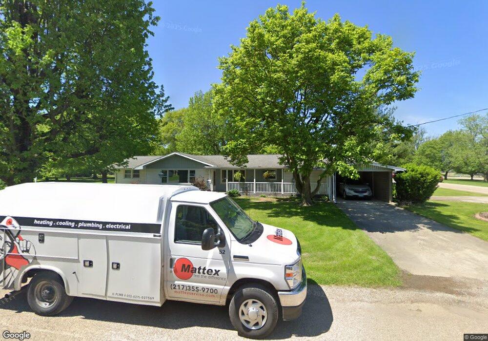
419 N Locust St Windsor, IL 61957
Estimated Value: $187,000 - $205,719
3
Beds
2
Baths
1,825
Sq Ft
$108/Sq Ft
Est. Value
About This Home
This home is located at 419 N Locust St, Windsor, IL 61957 and is currently estimated at $196,680, approximately $107 per square foot. 419 N Locust St is a home located in Shelby County with nearby schools including Windsor Elementary School and Windsor Junior/Senior High School.
Ownership History
Date
Name
Owned For
Owner Type
Purchase Details
Closed on
Mar 22, 2023
Sold by
Hackerson Donald E and Hackerson Carolyn D
Bought by
Tate Stephanie A and Dickens Joan L
Current Estimated Value
Home Financials for this Owner
Home Financials are based on the most recent Mortgage that was taken out on this home.
Original Mortgage
$134,993
Outstanding Balance
$119,790
Interest Rate
5.8%
Mortgage Type
Construction
Estimated Equity
$76,890
Create a Home Valuation Report for This Property
The Home Valuation Report is an in-depth analysis detailing your home's value as well as a comparison with similar homes in the area
Purchase History
| Date | Buyer | Sale Price | Title Company |
|---|---|---|---|
| Tate Stephanie A | $172,000 | Attorney Only |
Source: Public Records
Mortgage History
| Date | Status | Borrower | Loan Amount |
|---|---|---|---|
| Open | Tate Stephanie A | $134,993 |
Source: Public Records
Tax History
| Year | Tax Paid | Tax Assessment Tax Assessment Total Assessment is a certain percentage of the fair market value that is determined by local assessors to be the total taxable value of land and additions on the property. | Land | Improvement |
|---|---|---|---|---|
| 2024 | $3,196 | $59,193 | $10,638 | $48,555 |
| 2023 | $2,727 | $54,131 | $9,728 | $44,403 |
| 2022 | $2,542 | $49,308 | $8,861 | $40,447 |
| 2021 | $2,455 | $47,045 | $8,454 | $38,591 |
| 2020 | $2,523 | $47,045 | $8,454 | $38,591 |
| 2019 | $2,523 | $47,045 | $8,454 | $38,591 |
| 2018 | $2,466 | $43,690 | $7,851 | $35,839 |
| 2017 | $2,430 | $43,690 | $7,851 | $35,839 |
| 2016 | $2,430 | $43,690 | $7,851 | $35,839 |
| 2015 | -- | $43,690 | $7,851 | $35,839 |
| 2014 | -- | $43,690 | $7,851 | $35,839 |
| 2013 | -- | $43,690 | $7,851 | $35,839 |
Source: Public Records
Map
Nearby Homes
- 1011 Pennsylvania Ave
- 510 Ohio Ave
- 621 Broadway Ave
- 708 N Vine St
- 305 S Oak St
- 3192 Illinois 16
- 1197 County Highway 9
- 308 W N 2nd St
- 207 W Commercial St
- 1414 South Shores
- 1412 South Shores
- 58 S Shores
- 122 South Shores
- 974 Cr 1300e
- 917 N 2600 East Rd
- 1302 2200 East Rd
- 1046 State 32 Hwy
- 2244 E 1200 North Rd
- Lot 19 Green Acres St
- Lot 10 Green Acres St
- 420 N Elm St
- 416 N Elm St
- 420 N Locust St
- 804 Pennsylvania Ave
- 724 Wisconsin Ave
- 722 Pennsylvania Ave
- 412 N Elm St
- 718 Wisconsin Ave
- 714 Pennsylvania Ave
- 710 Wisconsin Ave
- 419 N Cedar St
- 421 N Elm St
- 417 N Elm St
- 423 N Cedar St
- 904 Pennsylvania Ave
- 704 Pennsylvania Ave
- 320 N Elm St
- 721 Pennsylvania Ave
- 713 Pennsylvania Ave
- 323 N Elm St
Your Personal Tour Guide
Ask me questions while you tour the home.