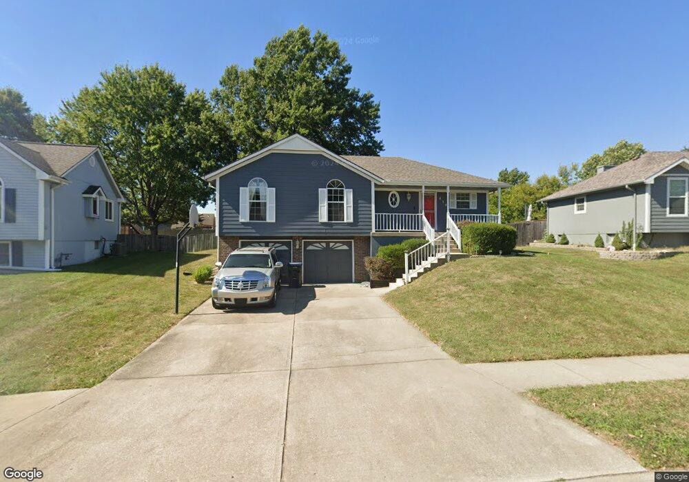
419 NE Station Dr Lees Summit, MO 64086
Estimated Value: $312,771 - $334,000
About This Home
This home is located at 419 NE Station Dr, Lees Summit, MO 64086 and is currently estimated at $323,193, approximately $260 per square foot. 419 NE Station Dr is a home located in Jackson County with nearby schools including Meadow Lane Elementary School, Bernard C. Campbell Middle School, and Lee's Summit North High School.
Ownership History
We collect this data history from publicly available records. To have your information removed, we recommend requesting removal directly through your county’s website.
Purchase Details
Home Financials for this Owner
Home Financials are based on the most recent Mortgage that was taken out on this home.Purchase Details
Home Financials for this Owner
Home Financials are based on the most recent Mortgage that was taken out on this home.Home Values in the Area
Average Home Value in this Area
Purchase History
We collect this data history from publicly available records. To have your information removed, we recommend requesting removal directly through your county’s website.
| Date | Buyer | Sale Price | Title Company |
|---|---|---|---|
| -- | -- | ||
| -- | Old Republic Title Company |
Mortgage History
We collect this data history from publicly available records. To have your information removed, we recommend requesting removal directly through your county’s website.
| Date | Status | Borrower | Loan Amount |
|---|---|---|---|
| Closed | $120,000 | ||
| Previous Owner | $129,000 |
Tax History
We collect this data history from publicly available records. To have your information removed, we recommend requesting removal directly through your county’s website.
| Year | Tax Paid | Tax Assessment Tax Assessment Total Assessment is a certain percentage of the fair market value that is determined by local assessors to be the total taxable value of land and additions on the property. | Land | Improvement |
|---|---|---|---|---|
| 2025 | $3,100 | $44,977 | $8,341 | $36,636 |
| 2024 | $3,077 | $42,929 | $5,768 | $37,161 |
| 2023 | $3,077 | $42,929 | $6,221 | $36,708 |
| 2022 | $2,745 | $34,010 | $4,236 | $29,774 |
| 2021 | $2,802 | $34,010 | $4,236 | $29,774 |
| 2020 | $2,577 | $30,974 | $4,236 | $26,738 |
| 2019 | $2,507 | $30,974 | $4,236 | $26,738 |
| 2018 | $2,351 | $26,957 | $3,687 | $23,270 |
| 2017 | $2,320 | $26,957 | $3,687 | $23,270 |
| 2016 | $2,320 | $26,334 | $4,731 | $21,603 |
| 2014 | $2,392 | $26,614 | $4,424 | $22,190 |
Map
- 1228 NE Grand Ave
- 1327 NE Depot Dr
- 403 NE Station Dr
- .342 acres NE Victoria Dr
- 1300 NE Browning Ln
- 309 NE Fiddlewood Ave
- 1526 NE Florence Ave
- 700 NE Hunters Ridge
- 1490 NE Independence Ave
- 724 NE Hunters Ridge
- 413 NE Mulberry St
- 401 NE Mulberry St
- 409 NE Mulberry St
- 405 NE Mulberry St
- 1801 NE Abbey Ln
- 410 NE Mulberry St
- 404 NE Mulberry St
- 400 NE Mulberry St
- 809 NE Mulberry St
- 705 NE Swann Cir
- 425 NE Station Dr
- 427 NE Station Dr
- 423 NE Station Dr
- 429 NE Station Dr
- 422 NE Station Dr
- 421 NE Station Dr
- 424 NE Station Dr
- 420 NE Station Dr
- 1221 NE Buttonwood Ave
- 1225 NE Buttonwood Ave
- 418 NE Station Dr
- 431 NE Station Dr
- 426 NE Station Dr
- 1217 NE Buttonwood Ave
- 1229 NE Buttonwood Ave
- 1213 NE Buttonwood Ave
- 428 NE Station Dr
- 1233 NE Buttonwood Ave
- 433 NE Station Dr
- 416 NE Station Dr
Ask me questions while you tour the home.