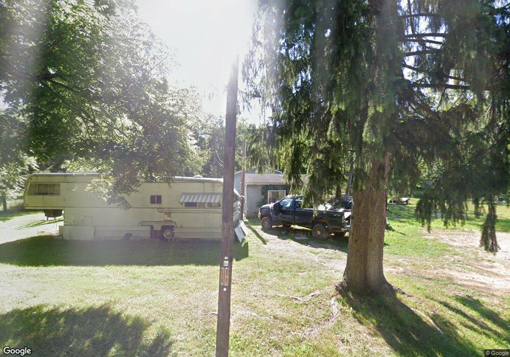
419 S Honeytown Rd Wooster, OH 44691
Estimated Value: $74,950 - $192,000
2
Beds
1
Bath
644
Sq Ft
$191/Sq Ft
Est. Value
About This Home
This home is located at 419 S Honeytown Rd, Wooster, OH 44691 and is currently estimated at $122,983, approximately $190 per square foot. 419 S Honeytown Rd is a home with nearby schools including Waynedale High School, St. Mary of Immaculate Conception School, and Montessori School of Wooster.
Ownership History
Date
Name
Owned For
Owner Type
Purchase Details
Closed on
Nov 28, 2011
Sold by
Green Tree Servicing Llc
Bought by
Underwood Charles G and Underwood Diane M
Current Estimated Value
Purchase Details
Closed on
Aug 26, 2011
Sold by
Robinson Steven S and Robinson Candice M
Bought by
Gree Tree Servicing Llc and Conseco Finance Serv Corp
Purchase Details
Closed on
Jan 13, 1999
Sold by
Bates Jeffrey B
Bought by
Anderson James T
Create a Home Valuation Report for This Property
The Home Valuation Report is an in-depth analysis detailing your home's value as well as a comparison with similar homes in the area
Home Values in the Area
Average Home Value in this Area
Purchase History
| Date | Buyer | Sale Price | Title Company |
|---|---|---|---|
| Underwood Charles G | $12,000 | Attorney | |
| Gree Tree Servicing Llc | $29,000 | Attorney | |
| Anderson James T | $31,000 | -- |
Source: Public Records
Mortgage History
| Date | Status | Borrower | Loan Amount |
|---|---|---|---|
| Closed | Anderson James T | -- |
Source: Public Records
Tax History Compared to Growth
Tax History
| Year | Tax Paid | Tax Assessment Tax Assessment Total Assessment is a certain percentage of the fair market value that is determined by local assessors to be the total taxable value of land and additions on the property. | Land | Improvement |
|---|---|---|---|---|
| 2024 | $621 | $16,000 | $9,990 | $6,010 |
| 2023 | $621 | $16,000 | $9,990 | $6,010 |
| 2022 | $487 | $11,340 | $7,080 | $4,260 |
| 2021 | $456 | $11,340 | $7,080 | $4,260 |
| 2020 | $473 | $11,630 | $7,080 | $4,550 |
| 2019 | $420 | $9,900 | $6,380 | $3,520 |
| 2018 | $437 | $9,900 | $6,380 | $3,520 |
| 2017 | $434 | $9,900 | $6,380 | $3,520 |
| 2016 | $431 | $9,520 | $6,140 | $3,380 |
| 2015 | $426 | $9,520 | $6,140 | $3,380 |
| 2014 | $429 | $9,520 | $6,140 | $3,380 |
| 2013 | $426 | $8,990 | $5,660 | $3,330 |
Source: Public Records
Map
Nearby Homes
- 3299 Crestview Dr
- 3450 Secrest Rd
- 5311 Canal Rd
- 1043 N Honeytown Rd
- 1474 N Honeytown Rd
- 2530 Tuckahoe Rd
- 3125 Dover Rd
- 1762 Pine Cove
- 1790 Pine Cove
- 24 Silver Pond Dr
- 2667 Eastwood Dr
- 1530 Willoughby Dr
- 1029 E University St
- 638 High St
- 606 E Henry St
- 1238 Kieffer St
- 660 Millborne Rd
- 1761 Woodcrest Dr
- 804 Belmont Ave
- 554 Nold Ave
- 581 S Honeytown Rd
- 545 S Honeytown Rd
- 348 S Honeytown Rd
- 619 S Honeytown Rd
- 4831 Secrest Rd
- 76 S Honeytown Rd
- 4687 E Lincoln Way
- 4727 E Lincoln Way
- 4583 E Lincoln Way
- 5040 Secrest Rd
- 764 S Honeytown Rd
- 19 Musselman Way
- 4353 E Lincoln Way
- 4586 Lincoln Way E
- 4393 E Lincoln Way
- 4893 E Lincoln Way
- 4752 E Lincoln Way
- 4917 E Lincoln Way
- 71 Grande Cir
- 876 S Honeytown Rd