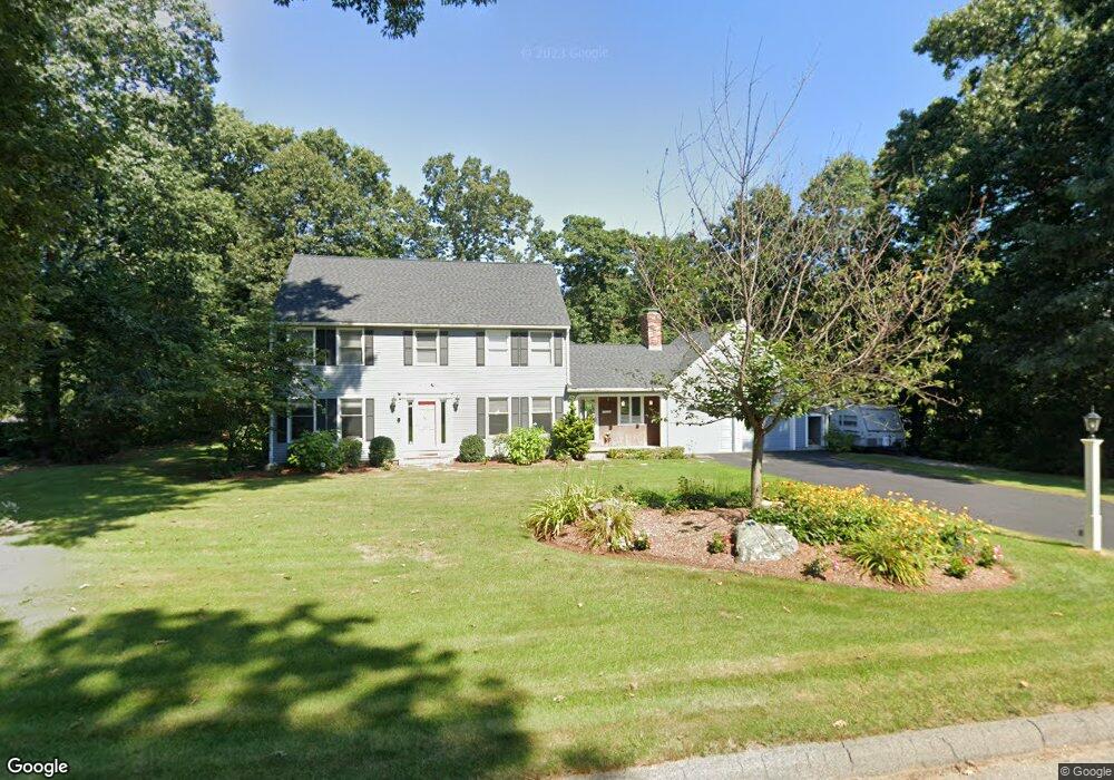
419 Stearns Rd Marlborough, MA 01752
Estimated Value: $785,096 - $940,000
4
Beds
3
Baths
2,573
Sq Ft
$339/Sq Ft
Est. Value
About This Home
This home is located at 419 Stearns Rd, Marlborough, MA 01752 and is currently estimated at $873,274, approximately $339 per square foot. 419 Stearns Rd is a home located in Middlesex County with nearby schools including Marlborough High School, Advanced Math & Science Academy, and New Covenant Christian School.
Ownership History
Date
Name
Owned For
Owner Type
Purchase Details
Closed on
Aug 17, 1998
Sold by
Putnam Elliot P and Putnam Christine
Bought by
Schlehuber Steven R and Schlehuber Catherine
Current Estimated Value
Home Financials for this Owner
Home Financials are based on the most recent Mortgage that was taken out on this home.
Original Mortgage
$200,000
Interest Rate
6.94%
Mortgage Type
Purchase Money Mortgage
Create a Home Valuation Report for This Property
The Home Valuation Report is an in-depth analysis detailing your home's value as well as a comparison with similar homes in the area
Home Values in the Area
Average Home Value in this Area
Purchase History
| Date | Buyer | Sale Price | Title Company |
|---|---|---|---|
| Schlehuber Steven R | $293,000 | -- |
Source: Public Records
Mortgage History
| Date | Status | Borrower | Loan Amount |
|---|---|---|---|
| Open | Schlehuber Steven R | $300,000 | |
| Closed | Schlehuber Steven R | $200,000 | |
| Previous Owner | Schlehuber Steven R | $29,000 |
Source: Public Records
Tax History Compared to Growth
Tax History
| Year | Tax Paid | Tax Assessment Tax Assessment Total Assessment is a certain percentage of the fair market value that is determined by local assessors to be the total taxable value of land and additions on the property. | Land | Improvement |
|---|---|---|---|---|
| 2025 | $7,413 | $751,800 | $260,500 | $491,300 |
| 2024 | $7,116 | $694,900 | $236,900 | $458,000 |
| 2023 | $7,356 | $637,400 | $199,100 | $438,300 |
| 2022 | $7,165 | $546,100 | $189,600 | $356,500 |
| 2021 | $7,012 | $508,100 | $161,000 | $347,100 |
| 2020 | $6,813 | $480,500 | $147,800 | $332,700 |
| 2019 | $6,585 | $468,000 | $144,900 | $323,100 |
| 2018 | $6,564 | $448,700 | $127,800 | $320,900 |
| 2017 | $6,540 | $426,900 | $126,800 | $300,100 |
| 2016 | $6,394 | $416,800 | $126,800 | $290,000 |
| 2015 | $6,534 | $414,600 | $131,100 | $283,500 |
Source: Public Records
Map
Nearby Homes
- 43 Stearns Rd
- 11 Whispering Brook Rd Unit 55
- 120 Airport Blvd
- 39 Desimone Dr
- 8 Saint Mary's Way Unit 8
- 30A Winter Ave
- 30 Broad St Unit 104
- lot 1 Sears Rd
- 76 Broad St
- 11 Paris St
- 58 Walker St
- 115 W Main St
- 102 Liberty St
- 156 Chestnut St
- 2 Adams St
- 32 Water St
- 61 Fairmount St Unit 11
- 14 Wolfpen Ln
- 87 Neil St
- 146 Framingham Rd
- 405 Stearns Rd
- 427 Stearns Rd
- 19 Stearns Rd
- 31 Stearns Rd
- 418 Stearns Rd
- 5 Stearns Rd
- 428 Stearns Rd
- 391 Stearns Rd
- 406 Stearns Rd
- 394 Stearns Rd
- 20 Stearns Rd
- 7 Wilkens Way
- 42 Whispering Brook Rd Unit 34
- 40 Whispering Brook Rd Unit 33
- 48 Whispering Brook Rd
- 46 Whispering Brook Rd
- 44 Whispering Brook Rd
- 42 Whispering Brook Rd
- 40 Whispering Brook Rd
- 44 Whispering Brook Rd Unit 35