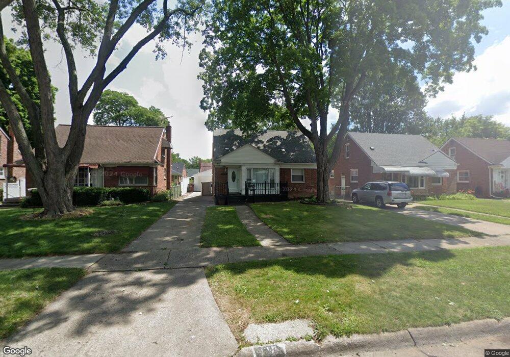
419 Sunningdale Dr Inkster, MI 48141
Estimated Value: $113,166 - $141,000
--
Bed
--
Bath
966
Sq Ft
$131/Sq Ft
Est. Value
About This Home
This home is located at 419 Sunningdale Dr, Inkster, MI 48141 and is currently estimated at $126,292, approximately $130 per square foot. 419 Sunningdale Dr is a home located in Wayne County with nearby schools including David Hicks School, Marshall Upper Elementary School, and John Glenn High School.
Ownership History
Date
Name
Owned For
Owner Type
Purchase Details
Closed on
May 20, 2024
Sold by
Queen Edna R and Queen David R
Bought by
Samawi Property Management Llc
Current Estimated Value
Purchase Details
Closed on
Jun 10, 2021
Sold by
Queen David R and Queen Edna R
Bought by
Queen David R and Queen Edna R
Home Financials for this Owner
Home Financials are based on the most recent Mortgage that was taken out on this home.
Original Mortgage
$54,500
Interest Rate
2.3%
Mortgage Type
New Conventional
Create a Home Valuation Report for This Property
The Home Valuation Report is an in-depth analysis detailing your home's value as well as a comparison with similar homes in the area
Home Values in the Area
Average Home Value in this Area
Purchase History
| Date | Buyer | Sale Price | Title Company |
|---|---|---|---|
| Samawi Property Management Llc | $80,000 | Core Title | |
| Samawi Property Management Llc | $80,000 | Core Title | |
| Queen David R | -- | None Available | |
| Queen David R | -- | None Listed On Document |
Source: Public Records
Mortgage History
| Date | Status | Borrower | Loan Amount |
|---|---|---|---|
| Previous Owner | Queen David R | $54,500 |
Source: Public Records
Tax History Compared to Growth
Tax History
| Year | Tax Paid | Tax Assessment Tax Assessment Total Assessment is a certain percentage of the fair market value that is determined by local assessors to be the total taxable value of land and additions on the property. | Land | Improvement |
|---|---|---|---|---|
| 2025 | $1,186 | $55,900 | $0 | $0 |
| 2024 | $1,186 | $46,800 | $0 | $0 |
| 2023 | $1,185 | $37,200 | $0 | $0 |
| 2022 | $1,421 | $29,500 | $0 | $0 |
| 2021 | $1,502 | $26,700 | $0 | $0 |
| 2020 | $1,466 | $22,600 | $0 | $0 |
| 2019 | $1,461 | $18,900 | $0 | $0 |
| 2018 | $1,042 | $18,100 | $0 | $0 |
| 2017 | $589 | $17,800 | $0 | $0 |
| 2016 | $1,447 | $18,000 | $0 | $0 |
| 2015 | $2,540 | $25,400 | $0 | $0 |
| 2013 | $3,440 | $34,400 | $0 | $0 |
| 2012 | $1,705 | $36,200 | $3,600 | $32,600 |
Source: Public Records
Map
Nearby Homes
- 420 Fairwood St
- 256 Brentwood St
- 391 Arcola St
- 375 Arcola St
- VACANT LOT Tromley St
- 742 Arlington St
- 148 Rosemary St
- 622 Tromley St
- 201 Cardwell St
- 811 Arlington St
- 27455 Avondale St
- 1014 Arlington St
- 9 Canfield Cir
- 1088 Arlington St
- 26508 Monticello St
- 6 Canfield Cir
- 212 Shadowlawn St
- 1144 Center St
- 26251 Somerset Dr
- 251 Helen St
- 429 Sunningdale Dr
- 409 Sunningdale Dr
- 439 Sunningdale Dr
- 399 Sunningdale Dr
- 449 Sunningdale Dr
- 389 Sunningdale Dr
- 404 Fairwood St
- 412 Fairwood St
- 396 Fairwood St
- 420 Fairwood St Unit Bldg-Unit
- 457 Sunningdale Dr
- 379 Sunningdale Dr
- 428 Fairwood St
- 420 Sunningdale Dr
- 380 Fairwood St
- 412 Sunningdale Dr
- 428 Sunningdale Dr
- 404 Sunningdale Dr
- 369 Sunningdale Dr
- 465 Sunningdale Dr