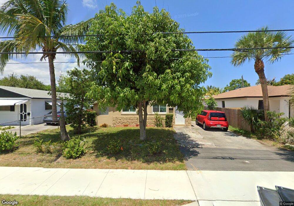
419 SW 10th St Unit 1 Delray Beach, FL 33444
Downtown Delray Beach NeighborhoodEstimated Value: $360,000 - $413,000
3
Beds
1
Bath
1,056
Sq Ft
$367/Sq Ft
Est. Value
About This Home
This home is located at 419 SW 10th St Unit 1, Delray Beach, FL 33444 and is currently estimated at $387,666, approximately $367 per square foot. 419 SW 10th St Unit 1 is a home located in Palm Beach County with nearby schools including Pine Grove Elementary School, Carver Community Middle School, and Atlantic High School.
Ownership History
Date
Name
Owned For
Owner Type
Purchase Details
Closed on
Nov 16, 2020
Sold by
Hofman Maria C G and Mcg Revocable Living Trust
Bought by
Thomas Susanne
Current Estimated Value
Home Financials for this Owner
Home Financials are based on the most recent Mortgage that was taken out on this home.
Original Mortgage
$209,757
Outstanding Balance
$185,800
Interest Rate
2.8%
Mortgage Type
FHA
Estimated Equity
$201,866
Purchase Details
Closed on
Apr 29, 2016
Sold by
Lifes Pure Corporation
Bought by
Hofman Maria C G
Purchase Details
Closed on
Jul 16, 2015
Sold by
Iattcheni Tatiana
Bought by
Life S Pure Corporation
Purchase Details
Closed on
Mar 6, 2015
Sold by
Brutus Dorlean and Leger Elvita
Bought by
Iattcheni Tatiana
Purchase Details
Closed on
Mar 30, 2006
Sold by
Laurent Gilbert and Laurent Marie C
Bought by
Brutus Dorlean and Deceus Derius
Home Financials for this Owner
Home Financials are based on the most recent Mortgage that was taken out on this home.
Original Mortgage
$189,000
Interest Rate
7.95%
Mortgage Type
Fannie Mae Freddie Mac
Purchase Details
Closed on
May 6, 2002
Sold by
Wells Robert D and Wells Barbara
Bought by
Laurent Gilbert and Laurent Marie C
Home Financials for this Owner
Home Financials are based on the most recent Mortgage that was taken out on this home.
Original Mortgage
$63,600
Interest Rate
6.68%
Purchase Details
Closed on
Mar 2, 2001
Sold by
Two Magnum I
Bought by
Wells Robert D
Home Financials for this Owner
Home Financials are based on the most recent Mortgage that was taken out on this home.
Original Mortgage
$45,000
Interest Rate
7.06%
Mortgage Type
New Conventional
Purchase Details
Closed on
Dec 1, 1999
Sold by
Clerk Of The Court
Bought by
Nile One
Purchase Details
Closed on
Jul 16, 1996
Sold by
Newton Robert L and Newton Francine
Bought by
Newton Robert L and Newton Francine
Home Financials for this Owner
Home Financials are based on the most recent Mortgage that was taken out on this home.
Original Mortgage
$32,400
Interest Rate
7.99%
Mortgage Type
New Conventional
Create a Home Valuation Report for This Property
The Home Valuation Report is an in-depth analysis detailing your home's value as well as a comparison with similar homes in the area
Home Values in the Area
Average Home Value in this Area
Purchase History
| Date | Buyer | Sale Price | Title Company |
|---|---|---|---|
| Thomas Susanne | $217,000 | Omni Title Llc | |
| Hofman Maria C G | $154,000 | Mason Title Co Inc | |
| Life S Pure Corporation | -- | Attorney | |
| Iattcheni Tatiana | $68,300 | None Available | |
| Brutus Dorlean | $210,000 | Delray Title & Abstract Co | |
| Laurent Gilbert | $79,500 | -- | |
| Wells Robert D | -- | -- | |
| Nile One | $38,500 | -- | |
| Newton Robert L | $100 | -- |
Source: Public Records
Mortgage History
| Date | Status | Borrower | Loan Amount |
|---|---|---|---|
| Open | Thomas Susanne | $209,757 | |
| Previous Owner | Brutus Dorlean | $189,000 | |
| Previous Owner | Laurent Gilbert | $63,600 | |
| Previous Owner | Newton Robert L | $45,000 | |
| Previous Owner | Newton Robert L | $80,000 | |
| Previous Owner | Newton Robert L | $32,400 |
Source: Public Records
Tax History Compared to Growth
Tax History
| Year | Tax Paid | Tax Assessment Tax Assessment Total Assessment is a certain percentage of the fair market value that is determined by local assessors to be the total taxable value of land and additions on the property. | Land | Improvement |
|---|---|---|---|---|
| 2025 | $3,101 | $204,823 | -- | -- |
| 2024 | $3,101 | $199,051 | -- | -- |
| 2023 | $3,093 | $193,253 | $0 | $0 |
| 2022 | $3,090 | $187,624 | $0 | $0 |
| 2021 | $3,079 | $182,159 | $42,000 | $140,159 |
| 2020 | $3,645 | $172,005 | $37,500 | $134,505 |
| 2019 | $3,483 | $171,875 | $32,700 | $139,175 |
| 2018 | $3,068 | $148,868 | $28,623 | $120,245 |
| 2017 | $2,784 | $124,056 | $23,852 | $100,204 |
| 2016 | $2,215 | $93,711 | $0 | $0 |
| 2015 | $2,035 | $82,352 | $0 | $0 |
| 2014 | $854 | $57,927 | $0 | $0 |
Source: Public Records
Map
Nearby Homes
- 517 SW 10th St
- 619 SW 10th St
- 821 SW 4th Ave
- 221 NE 10th St
- 134 SW 10th Ave
- 106 S Longport Cir Unit 14H
- 16648 SW 8th Ave
- 122 SW 8th Ave
- 301 Southridge Rd
- 702 SW 7th St
- 2315 Zeder Ave
- 2311 Zeder Ave
- 1015 Ventnor Ave Unit 3E
- 701 SW 8th Ave
- 191 Sterling Ave
- 902 S Swinton Ave
- 1022 SW 9th Ave
- 1000 Old Dixie Hwy
- 2291 Linton Ridge Cir Unit B4
- 2323 Linton Ridge Cir Unit D4