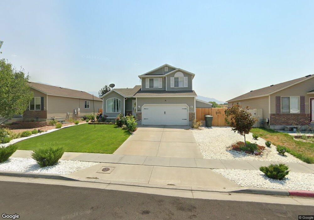
419 W 670 N Tooele, UT 84074
Estimated Value: $380,000 - $419,000
3
Beds
2
Baths
1,684
Sq Ft
$236/Sq Ft
Est. Value
About This Home
This home is located at 419 W 670 N, Tooele, UT 84074 and is currently estimated at $397,132, approximately $235 per square foot. 419 W 670 N is a home located in Tooele County with nearby schools including Northlake Elementary School, Tooele Junior High School, and Tooele High School.
Ownership History
Date
Name
Owned For
Owner Type
Purchase Details
Closed on
Aug 4, 2020
Sold by
Ashworth Randy
Bought by
Alizamani Jesus
Current Estimated Value
Home Financials for this Owner
Home Financials are based on the most recent Mortgage that was taken out on this home.
Original Mortgage
$279,837
Outstanding Balance
$248,693
Interest Rate
3.1%
Mortgage Type
FHA
Estimated Equity
$148,439
Purchase Details
Closed on
Mar 24, 2009
Sold by
Carefree Corp Inc
Bought by
Carefree Homes
Purchase Details
Closed on
Aug 29, 2006
Sold by
Mcnee Rayn Llc
Bought by
Ashworth Randy
Home Financials for this Owner
Home Financials are based on the most recent Mortgage that was taken out on this home.
Original Mortgage
$164,846
Interest Rate
7.8%
Mortgage Type
Adjustable Rate Mortgage/ARM
Create a Home Valuation Report for This Property
The Home Valuation Report is an in-depth analysis detailing your home's value as well as a comparison with similar homes in the area
Home Values in the Area
Average Home Value in this Area
Purchase History
| Date | Buyer | Sale Price | Title Company |
|---|---|---|---|
| Alizamani Jesus | -- | Cottonwood Title Ins Agcy | |
| Carefree Homes | -- | First American Tooele | |
| Ashworth Randy | -- | Merrill Title Company |
Source: Public Records
Mortgage History
| Date | Status | Borrower | Loan Amount |
|---|---|---|---|
| Open | Alizamani Jesus | $279,837 | |
| Previous Owner | Ashworth Randy | $164,846 |
Source: Public Records
Tax History Compared to Growth
Tax History
| Year | Tax Paid | Tax Assessment Tax Assessment Total Assessment is a certain percentage of the fair market value that is determined by local assessors to be the total taxable value of land and additions on the property. | Land | Improvement |
|---|---|---|---|---|
| 2025 | $2,193 | $182,946 | $54,313 | $128,633 |
| 2024 | $2,399 | $183,130 | $54,313 | $128,817 |
| 2023 | $2,399 | $185,083 | $51,730 | $133,353 |
| 2022 | $2,321 | $199,731 | $65,588 | $134,143 |
| 2021 | $1,681 | $120,982 | $20,453 | $100,529 |
| 2020 | $1,753 | $218,786 | $37,188 | $181,598 |
| 2019 | $1,711 | $210,138 | $37,188 | $172,950 |
| 2018 | $1,517 | $176,568 | $30,000 | $146,568 |
| 2017 | $1,227 | $169,589 | $30,000 | $139,589 |
| 2016 | $847 | $69,572 | $13,750 | $55,822 |
| 2015 | $847 | $61,634 | $0 | $0 |
| 2014 | -- | $61,634 | $0 | $0 |
Source: Public Records
Map
Nearby Homes
- 394 W 630 N Unit 8
- 683 Hidden River Trail W
- 374 W 630 North St Unit 10
- 377 W 630 St N Unit 22
- Snowbird Plan at Vista Meadows
- Sundance Plan at Vista Meadows
- Brighton Plan at Vista Meadows
- Solitude Plan at Vista Meadows
- 363 W 630 North St Unit 20
- 353 W 630 N Unit 19
- 372 W 600 N Unit 42
- 362 W 600 N Unit 43
- 718 N 410 W
- 352 W 600 N Unit 44
- 451 W Sapphire Dr Unit 7035
- 435 W Sapphire Dr Unit 7037
- 419 W Sapphire Dr
- 409 W Sapphire Dr
- 462 W Sapphire Dr Unit 7016
- 277 W 670 N