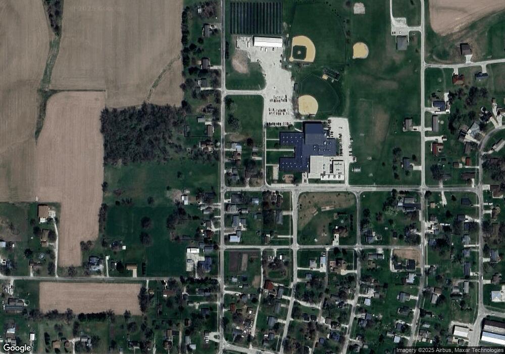
419 W Kentucky Ave Williamsfield, IL 61489
Estimated Value: $81,000 - $94,000
--
Bed
--
Bath
936
Sq Ft
$93/Sq Ft
Est. Value
About This Home
This home is located at 419 W Kentucky Ave, Williamsfield, IL 61489 and is currently estimated at $86,615, approximately $92 per square foot. 419 W Kentucky Ave is a home with nearby schools including Williamsfield Elementary School.
Ownership History
Date
Name
Owned For
Owner Type
Purchase Details
Closed on
Mar 29, 2024
Sold by
Groeper Dalton and Groeper Russell S
Bought by
Yerkey Amanda J
Current Estimated Value
Home Financials for this Owner
Home Financials are based on the most recent Mortgage that was taken out on this home.
Original Mortgage
$62,800
Outstanding Balance
$46,853
Interest Rate
5.94%
Mortgage Type
Construction
Estimated Equity
$39,762
Purchase Details
Closed on
Dec 11, 2020
Sold by
Likes Erma M Living Trust
Bought by
Dalton Groeper
Home Financials for this Owner
Home Financials are based on the most recent Mortgage that was taken out on this home.
Original Mortgage
$43,350
Interest Rate
3.87%
Mortgage Type
Construction
Create a Home Valuation Report for This Property
The Home Valuation Report is an in-depth analysis detailing your home's value as well as a comparison with similar homes in the area
Home Values in the Area
Average Home Value in this Area
Purchase History
| Date | Buyer | Sale Price | Title Company |
|---|---|---|---|
| Yerkey Amanda J | $78,500 | Attorney Only | |
| Dalton Groeper | $51,000 | Attorney Only |
Source: Public Records
Mortgage History
| Date | Status | Borrower | Loan Amount |
|---|---|---|---|
| Open | Yerkey Amanda J | $62,800 | |
| Previous Owner | Dalton Groeper | $43,350 |
Source: Public Records
Tax History Compared to Growth
Tax History
| Year | Tax Paid | Tax Assessment Tax Assessment Total Assessment is a certain percentage of the fair market value that is determined by local assessors to be the total taxable value of land and additions on the property. | Land | Improvement |
|---|---|---|---|---|
| 2024 | $2,036 | $25,650 | $1,880 | $23,770 |
| 2023 | $2,036 | $24,030 | $1,760 | $22,270 |
| 2022 | $1,296 | $21,280 | $1,560 | $19,720 |
| 2021 | $1,070 | $18,220 | $1,500 | $16,720 |
| 2020 | $1,457 | $16,110 | $1,400 | $14,710 |
| 2019 | $64 | $16,110 | $1,400 | $14,710 |
| 2018 | $26 | $16,110 | $1,400 | $14,710 |
| 2017 | $26 | $16,110 | $1,400 | $14,710 |
| 2015 | -- | $15,790 | $1,370 | $14,420 |
| 2013 | $100 | $16,620 | $1,440 | $15,180 |
Source: Public Records
Map
Nearby Homes
- 110 Happy Hollow Dr
- 1714 Knox Road 1950 E
- 1841 Knox 1400n
- 1841 Knox Road 1400 N
- 0000 E 1450e Rd
- 0000 Knox Rd
- 1586 Knox Highway 15
- 21704 W White Rd
- 8145 Oak Run Dr
- 8020 Oak Run Dr
- 83 Parkside Ct
- 7 Fernwood Ct
- 23 Oak Point Ct
- 148 & 149 Poplar Ct
- 1600 Manson Height Rd
- 187 Spruce Ct
- 478 Edgebrook Ct
- 415 Charter Oak Place
- 411 Knollridge Cir
- 1667 Sherwood Rd
