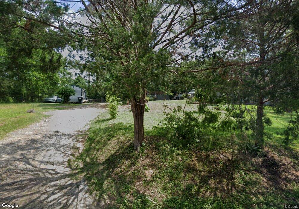
419 W Richland Ave Greensboro, GA 30642
Estimated Value: $150,000 - $233,000
2
Beds
1
Bath
924
Sq Ft
$207/Sq Ft
Est. Value
About This Home
This home is located at 419 W Richland Ave, Greensboro, GA 30642 and is currently estimated at $191,500, approximately $207 per square foot. 419 W Richland Ave is a home located in Greene County with nearby schools including Greene County High School.
Ownership History
Date
Name
Owned For
Owner Type
Purchase Details
Closed on
Aug 7, 2018
Sold by
Postell Larry
Bought by
Porter Fred and Porter Gertrude
Current Estimated Value
Purchase Details
Closed on
Nov 18, 2014
Sold by
Gibson George A
Bought by
Harper Annie
Purchase Details
Closed on
Aug 5, 2014
Sold by
Cutwright Hattie
Bought by
Gibson George A and Gibson Lola
Purchase Details
Closed on
Nov 8, 2013
Sold by
Harper Annie Estate And All Heirs
Bought by
Walk The World Llc
Purchase Details
Closed on
Apr 10, 1992
Sold by
Cutright Hattie
Bought by
Cutwright Hattie and Cutwright Willie
Purchase Details
Closed on
Jan 1, 1980
Sold by
Cutwright Emma
Bought by
Cutright Hattie
Purchase Details
Closed on
Feb 7, 1949
Sold by
Ashley Seaborn
Bought by
Cutwright Emma
Create a Home Valuation Report for This Property
The Home Valuation Report is an in-depth analysis detailing your home's value as well as a comparison with similar homes in the area
Home Values in the Area
Average Home Value in this Area
Purchase History
| Date | Buyer | Sale Price | Title Company |
|---|---|---|---|
| Porter Fred | -- | -- | |
| Harper Annie | -- | -- | |
| Gibson George A | -- | -- | |
| Walk The World Llc | $1,000 | -- | |
| Cutwright Hattie | -- | -- | |
| Cutright Hattie | -- | -- | |
| Cutwright Emma | -- | -- |
Source: Public Records
Tax History Compared to Growth
Tax History
| Year | Tax Paid | Tax Assessment Tax Assessment Total Assessment is a certain percentage of the fair market value that is determined by local assessors to be the total taxable value of land and additions on the property. | Land | Improvement |
|---|---|---|---|---|
| 2024 | $461 | $10,240 | $7,360 | $2,880 |
| 2023 | $390 | $9,880 | $7,360 | $2,520 |
| 2022 | $279 | $5,840 | $3,680 | $2,160 |
| 2021 | $273 | $5,600 | $3,680 | $1,920 |
| 2020 | $245 | $3,920 | $3,040 | $880 |
| 2019 | $248 | $3,920 | $3,040 | $880 |
| 2018 | $225 | $3,920 | $3,040 | $880 |
| 2017 | $220 | $3,951 | $3,060 | $891 |
| 2016 | $220 | $3,951 | $3,060 | $891 |
| 2015 | $193 | $3,951 | $3,060 | $891 |
| 2014 | $193 | $3,863 | $3,060 | $803 |
Source: Public Records
Map
Nearby Homes
- 0 Maple Cir
- 301 N East St
- 1020 Horton Dr
- 314 W South St
- 208 W South St
- 15 South St Unit Siloam Road
- 1061 Grimes St
- 0 Railroad St Unit 218854
- 0 Railroad St Unit 10578007
- 0 Railroad St Unit 531919
- 504 Martin Luther King Junior Dr
- 0 Canaan St
- 1531 E Broad St
- 805 S West St
- 109 Reynolds Dr
- 105 Wilson St
- 1060 Twin Pines Cir
- 1131 Planing Mill Rd
- 1141 Planing Mill Rd
- 1141 Armour Cir
- 417 W Richland Ave
- 421 W Richland Ave
- 418 W Richland Ave
- 415A W Richland Ave
- 415B W Richland Ave
- 413 W Richland Ave
- 414 W Richland Ave
- 411 W Richland Ave
- 412 W Richland Ave
- 409 W Richland Ave
- 410 W Richland Ave
- 407 W Richland Ave
- 408 W Richland Ave
- 405 W Richland Ave
- 406 W Richland Ave
- 1250 N Laurel Ave
- 404 W Richland Ave
- 403 W Richland Ave
- 103 W Richland Cir
- 401 W Richland Ave