419 Williamson Ct Unit LOT 27 Lansdale, PA 19446
Estimated Value: $551,000 - $635,151
3
Beds
3
Baths
2,441
Sq Ft
$236/Sq Ft
Est. Value
About This Home
This home is located at 419 Williamson Ct Unit LOT 27, Lansdale, PA 19446 and is currently estimated at $576,788, approximately $236 per square foot. 419 Williamson Ct Unit LOT 27 is a home located in Montgomery County with nearby schools including Knapp Elementary School, Penndale Middle School, and North Penn Senior High School.
Ownership History
Date
Name
Owned For
Owner Type
Purchase Details
Closed on
Sep 10, 2013
Sold by
Blecker Acquisitions Lp
Bought by
Sinkler Samuel
Current Estimated Value
Home Financials for this Owner
Home Financials are based on the most recent Mortgage that was taken out on this home.
Original Mortgage
$200,000
Outstanding Balance
$139,760
Interest Rate
2.87%
Mortgage Type
Adjustable Rate Mortgage/ARM
Estimated Equity
$437,028
Purchase Details
Closed on
Nov 13, 2012
Sold by
First Venture Realty
Bought by
Blecker Acquisitions Lp
Create a Home Valuation Report for This Property
The Home Valuation Report is an in-depth analysis detailing your home's value as well as a comparison with similar homes in the area
Home Values in the Area
Average Home Value in this Area
Purchase History
| Date | Buyer | Sale Price | Title Company |
|---|---|---|---|
| Sinkler Samuel | $339,940 | None Available | |
| Blecker Acquisitions Lp | $630,000 | None Available |
Source: Public Records
Mortgage History
| Date | Status | Borrower | Loan Amount |
|---|---|---|---|
| Open | Sinkler Samuel | $200,000 |
Source: Public Records
Tax History Compared to Growth
Tax History
| Year | Tax Paid | Tax Assessment Tax Assessment Total Assessment is a certain percentage of the fair market value that is determined by local assessors to be the total taxable value of land and additions on the property. | Land | Improvement |
|---|---|---|---|---|
| 2025 | $6,613 | $157,200 | -- | -- |
| 2024 | $6,613 | $157,200 | -- | -- |
| 2023 | $6,186 | $157,200 | $0 | $0 |
| 2022 | $5,989 | $157,200 | $0 | $0 |
| 2021 | $5,745 | $157,200 | $0 | $0 |
| 2020 | $5,572 | $157,200 | $0 | $0 |
| 2019 | $5,480 | $157,200 | $0 | $0 |
| 2018 | $1,470 | $157,200 | $0 | $0 |
| 2017 | $5,115 | $157,200 | $0 | $0 |
| 2016 | $5,054 | $157,200 | $0 | $0 |
| 2015 | $4,689 | $157,200 | $0 | $0 |
| 2014 | $4,689 | $157,200 | $0 | $0 |
Source: Public Records
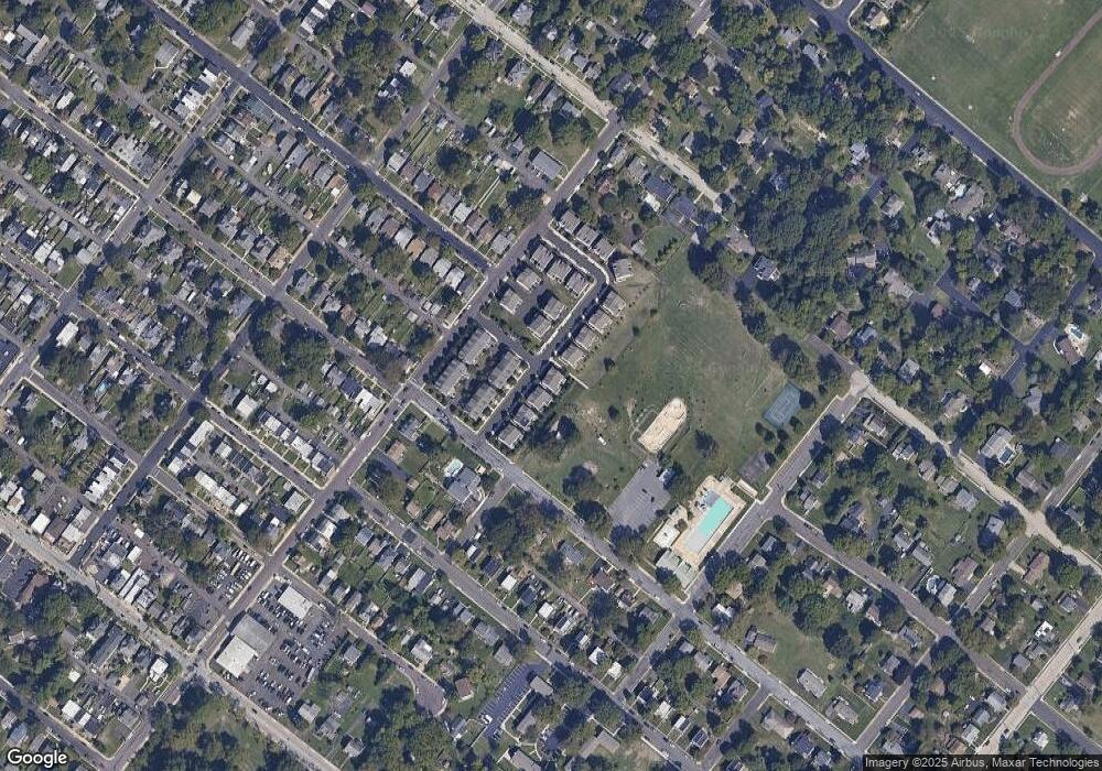
Map
Nearby Homes
- 130 E 5th St
- 124 E 5th St
- 235 E 2nd St
- 527 N Chestnut St
- 2 N Line St
- 101 E Main St
- 159 Penn St
- 100 Penn St
- 503 Walnut St
- 25 Highland Ave
- 118 S Broad St
- 128 S Broad St
- 111 Country Ln
- 263 Compass Dr
- 118 Green St
- 238 Pennbrook Ave
- 403 Derstine Ave
- 380 E Hancock St Unit 103B
- 380 E Hancock St Unit 102B
- 380 E Hancock St Unit 101B
- 419 Williamson Ct
- 421 Williamson Ct
- 421 Williamson Ct Unit LOT 28
- 415 Williamson Ct Unit LOT 26
- 415 Williamson Ct
- 413 Williamson Ct
- 413 Williamson Ct Unit LOT 25
- 425 Williamson Ct
- Williamson Ct
- 409 Williamson Ct
- 409 Williamson Ct Unit LOT 24
- 427 Williamson Ct
- 427 Williamson Ct Unit LOT 2
- 418 Williamson Ct
- 418 Williamson Ct Unit LOT 20
- 416 Williamson Ct
- 416 Williamson Ct Unit LOT 19
- 407 Williamson Ct
- 407 Williamson Ct Unit LOT 23
- 414 Williamson Ct Unit LOT 18