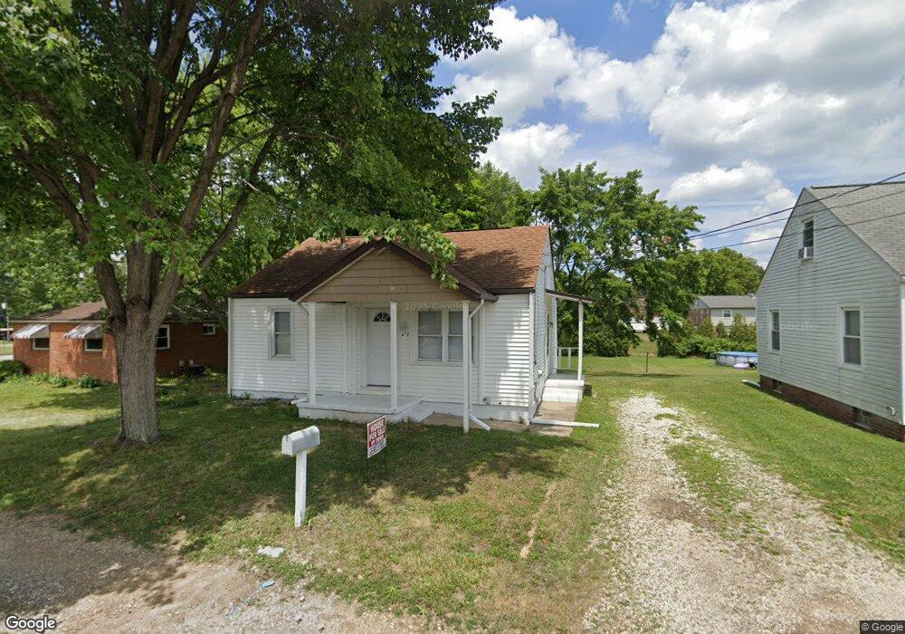
419 Woodard Ave Louisville, OH 44641
Estimated Value: $134,000 - $190,000
3
Beds
1
Bath
1,092
Sq Ft
$143/Sq Ft
Est. Value
About This Home
This home is located at 419 Woodard Ave, Louisville, OH 44641 and is currently estimated at $155,988, approximately $142 per square foot. 419 Woodard Ave is a home located in Stark County with nearby schools including Louisville High School and St. Thomas Aquinas High School & Middle School.
Ownership History
Date
Name
Owned For
Owner Type
Purchase Details
Closed on
Jul 30, 2024
Sold by
Silagy John
Bought by
Dixon Brian L
Current Estimated Value
Home Financials for this Owner
Home Financials are based on the most recent Mortgage that was taken out on this home.
Original Mortgage
$129,125
Outstanding Balance
$127,547
Interest Rate
6.87%
Mortgage Type
VA
Estimated Equity
$28,441
Purchase Details
Closed on
Sep 8, 2023
Sold by
Maier George T
Bought by
Vaught Penelope Elaine
Create a Home Valuation Report for This Property
The Home Valuation Report is an in-depth analysis detailing your home's value as well as a comparison with similar homes in the area
Home Values in the Area
Average Home Value in this Area
Purchase History
| Date | Buyer | Sale Price | Title Company |
|---|---|---|---|
| Dixon Brian L | -- | None Listed On Document | |
| Vaught Penelope Elaine | $44,300 | None Listed On Document |
Source: Public Records
Mortgage History
| Date | Status | Borrower | Loan Amount |
|---|---|---|---|
| Open | Dixon Brian L | $129,125 |
Source: Public Records
Tax History Compared to Growth
Tax History
| Year | Tax Paid | Tax Assessment Tax Assessment Total Assessment is a certain percentage of the fair market value that is determined by local assessors to be the total taxable value of land and additions on the property. | Land | Improvement |
|---|---|---|---|---|
| 2025 | -- | $38,260 | $9,700 | $28,560 |
| 2024 | -- | $38,260 | $9,700 | $28,560 |
| 2023 | $2,094 | $21,990 | $6,830 | $15,160 |
| 2022 | $974 | $21,990 | $6,830 | $15,160 |
| 2021 | $976 | $21,990 | $6,830 | $15,160 |
| 2020 | $799 | $19,460 | $6,160 | $13,300 |
| 2019 | $803 | $18,970 | $6,160 | $12,810 |
| 2018 | $780 | $18,970 | $6,160 | $12,810 |
| 2017 | $1,097 | $15,820 | $5,180 | $10,640 |
| 2016 | $689 | $15,820 | $5,180 | $10,640 |
| 2015 | $345 | $15,820 | $5,180 | $10,640 |
| 2014 | $718 | $15,300 | $5,010 | $10,290 |
| 2013 | $362 | $15,300 | $5,010 | $10,290 |
Source: Public Records
Map
Nearby Homes
- 300 Kennedy St
- 428 Honeycrisp Dr NE
- 3047 Mcintosh Dr NE
- 432 Honeycrisp Dr NE
- 2962 Mcintosh Dr NE
- 2963 Mcintosh Dr NE
- 430 Honeycrisp Dr NE
- 2957 Mcintosh Dr NE
- 325 Lincoln Ave
- 614 Reno Dr
- 524 Glenbar St
- 316 E Reno Dr
- 1149 Sturbridge Dr
- 1175 Sturbridge Dr
- 910 Crosswyck Cir
- 1170 Winding Ridge Ave
- 0 Glenbar St
- 107 E Broad St
- 5474 Ravenna Ave
- 0 Brookridge Ave
- 413 Woodard Ave
- 906 Constitution Ave
- 409 Woodard Ave
- 403 Woodard Ave
- 404 Woodard Ave
- 1006 Constitution Ave
- 418 Woodward Ave
- 170 Frana Clara St
- 315 Woodard Ave
- 316Woodard Ave
- 312 Woodard Ave
- 913 Constitution Ave Unit 4
- 913 Constitution Ave
- 913 Constitution Ave Unit 5
- 913 Constitution Ave Unit 2
- 913 Constitution Ave Unit 8
- 913 Constitution Ave Unit 6
- 913 Constitution Ave Unit 3
- 913 Constitution Ave Unit N
- 309 Woodard Ave