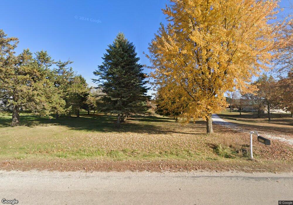
4191 Woodland Dr Manitowoc, WI 54220
Estimated Value: $405,000 - $421,070
--
Bed
--
Bath
--
Sq Ft
7.13
Acres
About This Home
This home is located at 4191 Woodland Dr, Manitowoc, WI 54220 and is currently estimated at $413,035. 4191 Woodland Dr is a home located in Manitowoc County with nearby schools including Riverview Elementary School, Wilson Middle School, and Lincoln High School.
Ownership History
Date
Name
Owned For
Owner Type
Purchase Details
Closed on
Oct 31, 2017
Sold by
Pasch June G
Bought by
Shopodock Michael L and Shopodock Chelsea M
Current Estimated Value
Home Financials for this Owner
Home Financials are based on the most recent Mortgage that was taken out on this home.
Original Mortgage
$185,000
Outstanding Balance
$154,734
Interest Rate
3.78%
Mortgage Type
VA
Estimated Equity
$258,301
Create a Home Valuation Report for This Property
The Home Valuation Report is an in-depth analysis detailing your home's value as well as a comparison with similar homes in the area
Home Values in the Area
Average Home Value in this Area
Purchase History
| Date | Buyer | Sale Price | Title Company |
|---|---|---|---|
| Shopodock Michael L | $185,000 | -- |
Source: Public Records
Mortgage History
| Date | Status | Borrower | Loan Amount |
|---|---|---|---|
| Open | Shopodock Michael L | $185,000 |
Source: Public Records
Tax History Compared to Growth
Tax History
| Year | Tax Paid | Tax Assessment Tax Assessment Total Assessment is a certain percentage of the fair market value that is determined by local assessors to be the total taxable value of land and additions on the property. | Land | Improvement |
|---|---|---|---|---|
| 2024 | $3,209 | $268,400 | $52,900 | $215,500 |
| 2023 | $2,776 | $268,400 | $52,900 | $215,500 |
| 2022 | $2,443 | $185,000 | $42,900 | $142,100 |
| 2021 | $2,863 | $185,000 | $42,900 | $142,100 |
| 2020 | $2,899 | $185,000 | $42,900 | $142,100 |
| 2019 | $2,757 | $185,000 | $42,900 | $142,100 |
| 2018 | $2,707 | $185,000 | $42,900 | $142,100 |
| 2017 | $2,521 | $177,000 | $41,400 | $135,600 |
| 2016 | $2,659 | $185,700 | $50,100 | $135,600 |
| 2015 | $2,614 | $185,700 | $50,100 | $135,600 |
| 2014 | $2,524 | $185,700 | $50,100 | $135,600 |
| 2013 | $2,758 | $185,700 | $50,100 | $135,600 |
Source: Public Records
Map
Nearby Homes
- Lt1 Hawthorne Ave
- Lt1 Columbus St
- 4220 Memorial Dr
- 2940 Memorial Dr
- 2734 33rd St
- 1415 Glenwood St
- 3502 Parkway Blvd
- 2317 10th St
- 1005 Webster St
- Lt9 Clover St
- 3405 Mishicot Rd
- 2152 Roosevelt Ave
- 2114 10th St
- 1209 Hawthorne St
- 2015 25th St
- LT0 Mosie Ct
- Lot 24 Mosie Ct
- 3107 45th St
- 3305 Whistle Ln
- 1808 11th St
- 4211 Woodland Dr
- 4307 Woodland Dr
- 4528 Woodland Dr
- 3803 Woodland Dr
- 3814 Woodland Dr
- 3627 Woodland Dr
- 4125 Mirro Dr
- 925A E State Highway 310 Rd
- 4222 Mirro Dr
- 4306 Mirro Dr
- 1211 Koeppel Ln
- 2827 E Sth 310
- Lt100 Woodland Dr
- 4520 Mirro Dr
- 3405 Woodland Dr
- 1122 Koeppel Ln
- 4116 Mirro Dr
- Lt0 E State Highway 310 Unit Lt0
- 1106 Koeppel Ln
- 3615 Mirro Dr