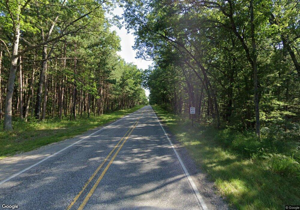
4193 S Walhalla Rd Branch, MI 49402
Estimated Value: $501,000 - $2,472,000
8
Beds
5
Baths
4,563
Sq Ft
$380/Sq Ft
Est. Value
About This Home
This home is located at 4193 S Walhalla Rd, Branch, MI 49402 and is currently estimated at $1,732,459, approximately $379 per square foot. 4193 S Walhalla Rd is a home located in Mason County with nearby schools including Scottville Elementary School, Mason County Central Upper Elementary School, and Mason County Central Middle School.
Ownership History
Date
Name
Owned For
Owner Type
Purchase Details
Closed on
Nov 15, 2023
Sold by
Manz Russell W and Manz Dorothy P
Bought by
Russell W Manz Revocable Living Trust and Dorothy P Manz Revocable Living Trust
Current Estimated Value
Purchase Details
Closed on
Nov 23, 2021
Sold by
Mary Miller Lt
Bought by
Manz Russell W and Manz Dorothy P
Purchase Details
Closed on
Feb 23, 2017
Sold by
Miller Benjamin R and Miller Mary B
Bought by
Miller Benjamin and Miller Mary
Purchase Details
Closed on
May 7, 2004
Sold by
Alt Robert N
Bought by
Miller Benjamin R and Miller Mary B
Create a Home Valuation Report for This Property
The Home Valuation Report is an in-depth analysis detailing your home's value as well as a comparison with similar homes in the area
Purchase History
| Date | Buyer | Sale Price | Title Company |
|---|---|---|---|
| Russell W Manz Revocable Living Trust | -- | None Listed On Document | |
| Manz Russell W | $1,700,000 | Chicago Title Of Michigan In | |
| Miller Benjamin | -- | None Available | |
| Miller Benjamin R | $1,090,000 | Lakeshore Land & Title |
Source: Public Records
Tax History
| Year | Tax Paid | Tax Assessment Tax Assessment Total Assessment is a certain percentage of the fair market value that is determined by local assessors to be the total taxable value of land and additions on the property. | Land | Improvement |
|---|---|---|---|---|
| 2025 | $18,012 | $956,300 | $956,300 | $0 |
| 2024 | -- | $844,200 | $844,200 | $0 |
| 2023 | -- | $651,800 | $651,800 | $0 |
Source: Public Records
Map
Nearby Homes
- 3985 Indian Trail Rd
- 6270 Woods Trail
- 4993 Wetland Trail Unit 293
- 5121 Oak Ln
- 1820 S Reid Rd
- 5056 E Sassafras Ln
- V/L Meadowview Trail Unit 167
- 4977 E Buck Rub Rd
- V/L Kissing Oak Unit 164
- 2714 E Hawley Rd
- 6270 S Woods Trail
- Lot 108 Stella St
- 6389 Woods Trail Unit 143
- 8104 E Anthony Rd
- 8747 E Kinney Rd
- 2577 S Custer Rd
- 7359 S Riverbend Rd
- 7373 S Riverbend Rd Unit Lot 53
- 7354 S Riverbend Rd Unit LOT 52
- V/L S Riverbend Rd Unit Lot 54
